

Landscapes
New Zealand's landscapes are wonderfully diverse, offering endless opportunities for exploration with a camera. From rugged mountains and braided rivers to quiet lakes, rolling farmland and dramatic coastlines, every region has its own character.
Living in Canterbury has given me a deep appreciation of the weather as much as the land itself. The power and majesty of the northwest wind sculpt magnificent cloud formations, while the arrival of a southerly can transform the temperature in minutes and both the landscape and the light within hours. Every season brings its own colours, moods and photographic opportunities.
Water adds another dimension. Whether it is a glacial lake, a winding river, a frozen reservoir, a waterfall or the ever-changing coastline, it reflects both the landscape and the sky, reminding me that we live on an island nation shaped by the sea.
Perhaps that is what I enjoy most about landscape photography. Nature is never quite the same twice. The light changes, the weather changes, the seasons change, and each visit offers the chance to see a familiar place in a completely new way.
Sometimes I forget that I live on an island—quite a large one, mind you—but the sea is never far away, and its influence is written into our landscapes and our weather. We are truly blessed to live in a country where such beauty is never far away.
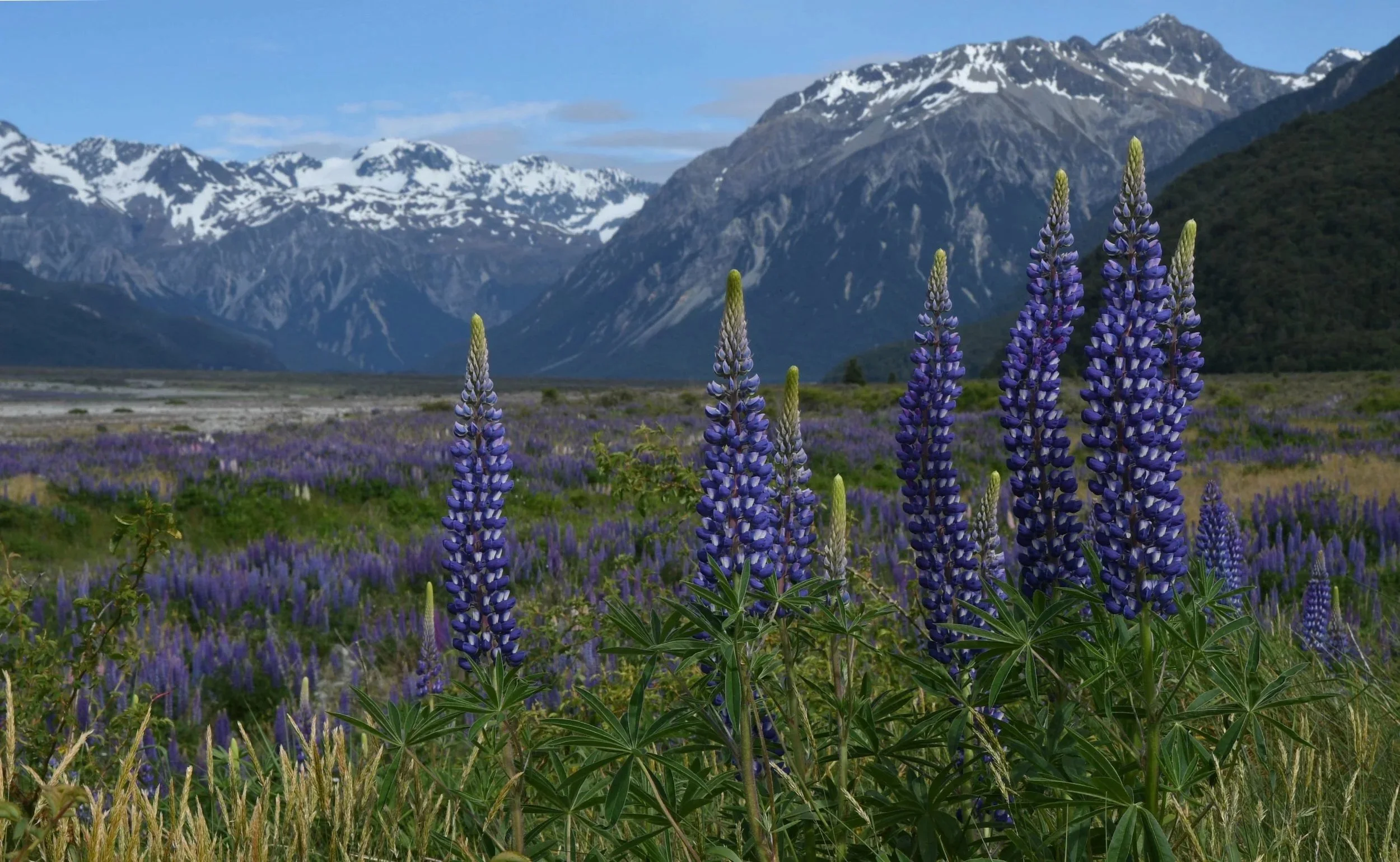
Lupines at Arthur's Pass Photographed from the eastern side of the Waimakariri Bridge, this view looks upstream along the Waimakariri River towards the Southern Alps, with Mount Stewart rising beyond a foreground of flowering lupines. Lupines are a plant of contrasts in New Zealand's braided river landscapes. As a nitrogen-fixing legume, they were originally valued for stabilising bare gravel and improving soil fertility. However, their dense growth provides cover that enables introduced predators to approach the nests of vulnerable braided river birds such as the Banded Dotterel and the Black-billed Gull. For this reason, the Department of Conservation actively controls lupines in many braided river habitats to help protect these nationally threatened bird species. It is one of those landscapes that delights the eye while quietly reminding us that nature is rarely as simple as it first appears
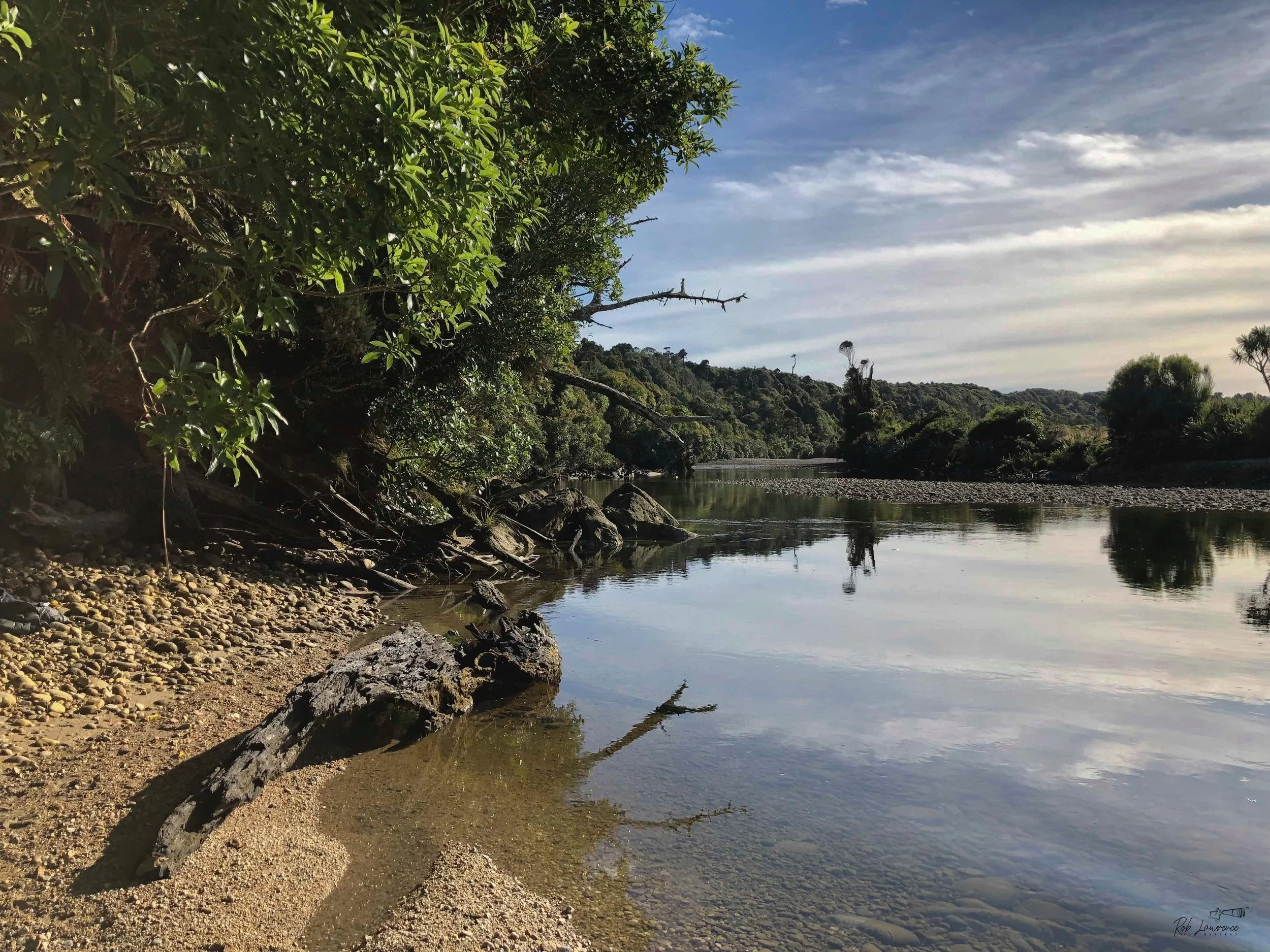
Big Totara River West Coast south of Westport
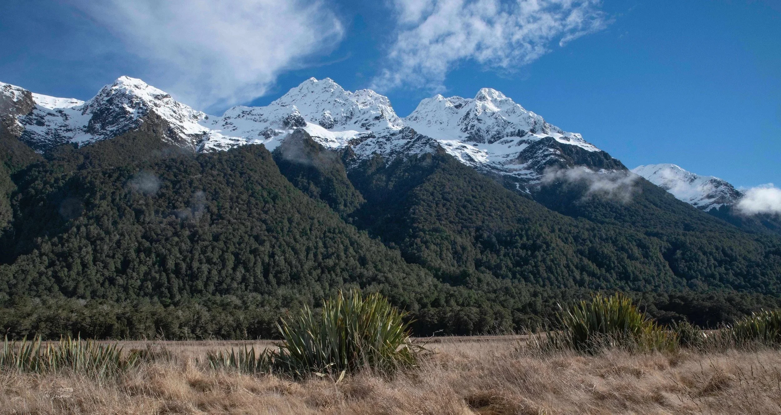
Eglington Valley Fiordland National Park
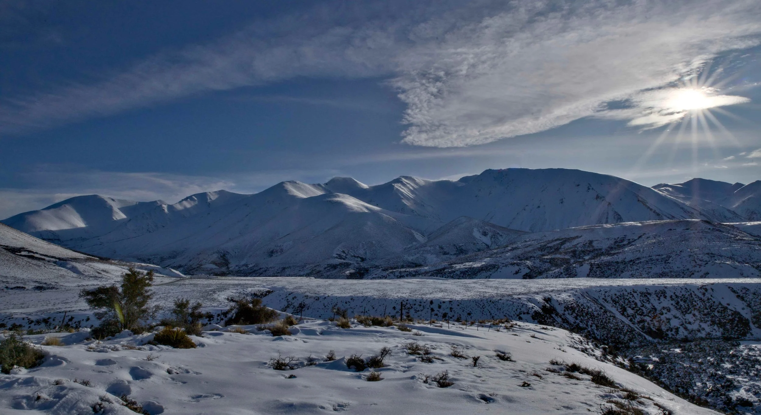
Cragieburn Sun Burst Porter river bank in foreground left
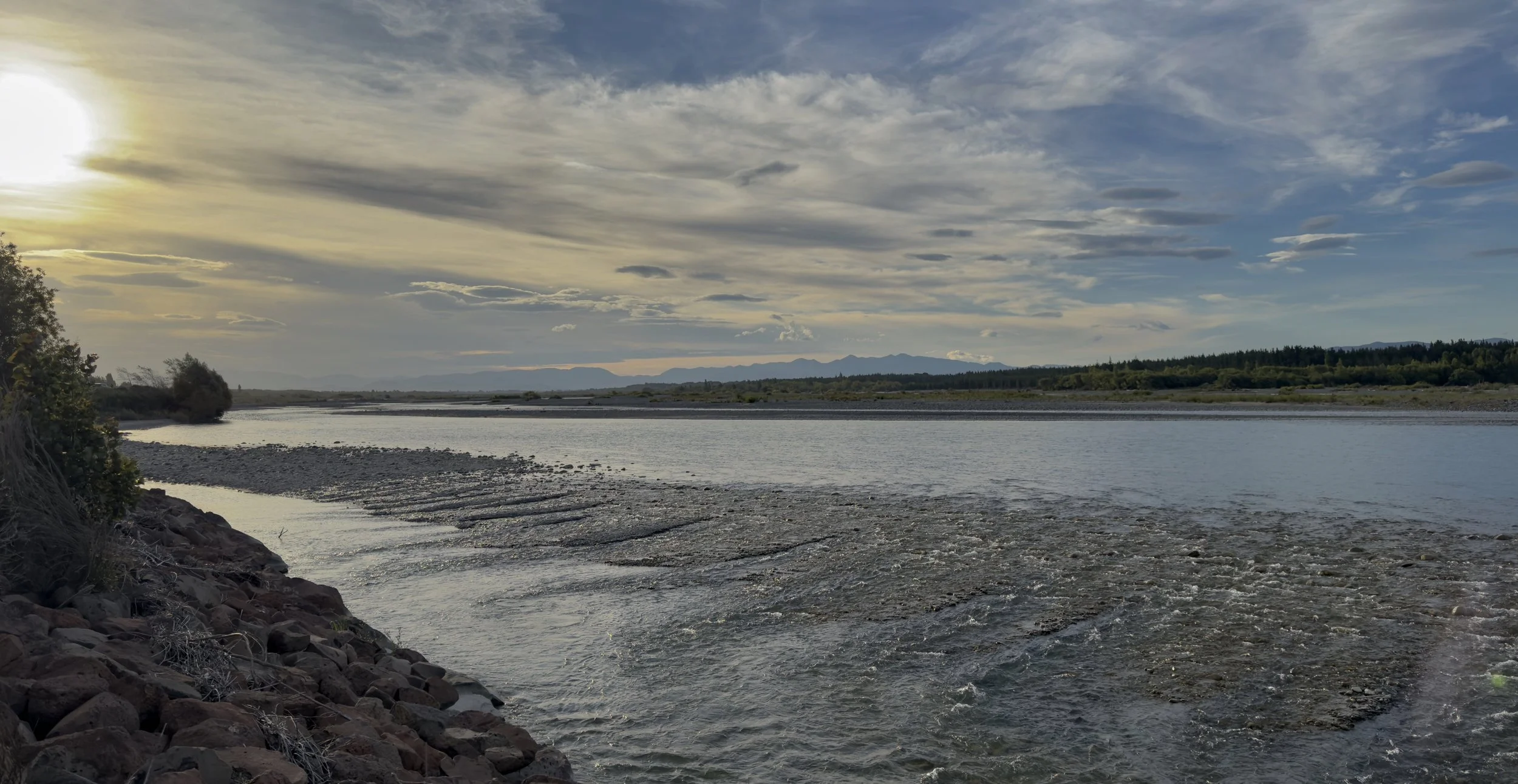
The Willows – Waimakariri River The name Waimakariri is translated as "cold waters," an apt description for this glacier-fed river that forms the northern boundary of the Selwyn District. Even on the warmest summer day, its water is a constant reminder of its alpine origins in the Southern Alps. As one of Canterbury's great braided rivers, the Waimakariri has shaped both the landscape and the communities that have developed alongside it. I have chosen to use the full Māori place names throughout this website as a mark of respect for New Zealand's cultural heritage. In the same spirit, I have included Māori names alongside the native birds, plants, and other wildlife featured in my photographs, recognising the rich knowledge and history they represent. Willows (Waimakariri River) Waimakariri mean cold waters and it is one of the glacier sourced rivers the defines Selwyn districts northern boundary Maori Protocol prohibits shortening of Maori place names and this river along with other places in New Zealand suffer from this. I try tp maintain respect for First Nation names for places and added the Maori names for the wildlife and plants photo included on the web site
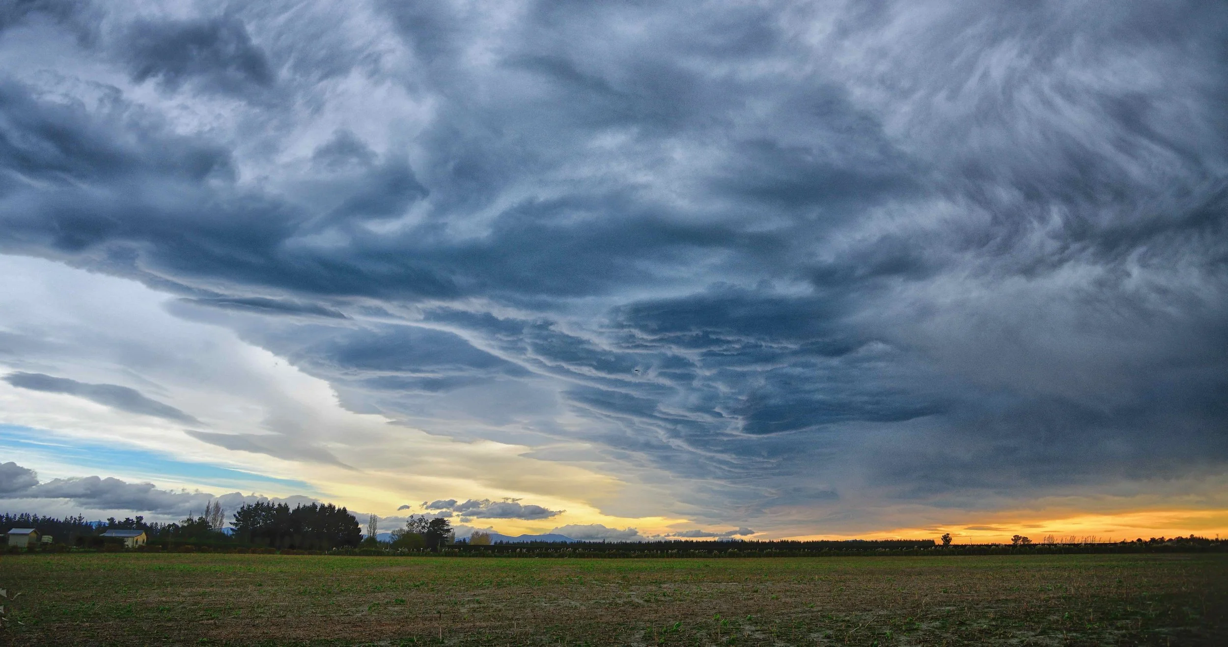
Nor' Wester – Homebush Road The dramatic skies of Canterbury often remind me of scenes from The Wizard of Oz—although this certainly isn't Kansas! As the northwesterly wind flows across the Southern Alps, it creates powerful atmospheric currents and distinctive cloud formations. One of the most recognisable is the classic Nor'west Arch, a sweeping band of cloud that often appears to mirror the curvature of the Earth across the Canterbury Plains. I always keep a camera close at hand, knowing that these ever-changing skies can transform an ordinary day into an extraordinary photographic opportunity. Every Nor'wester paints a different picture, and no two displays are ever quite the same.
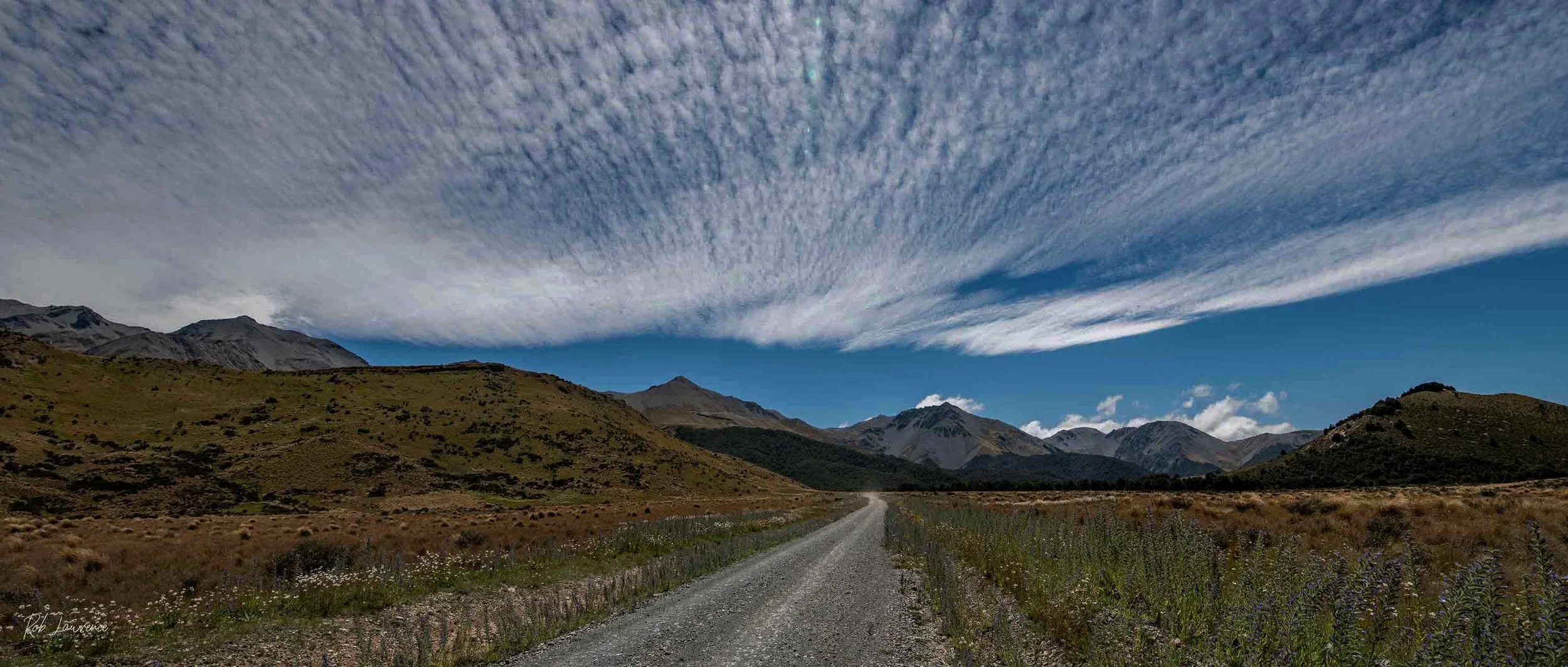
Mt Cheeseman Road
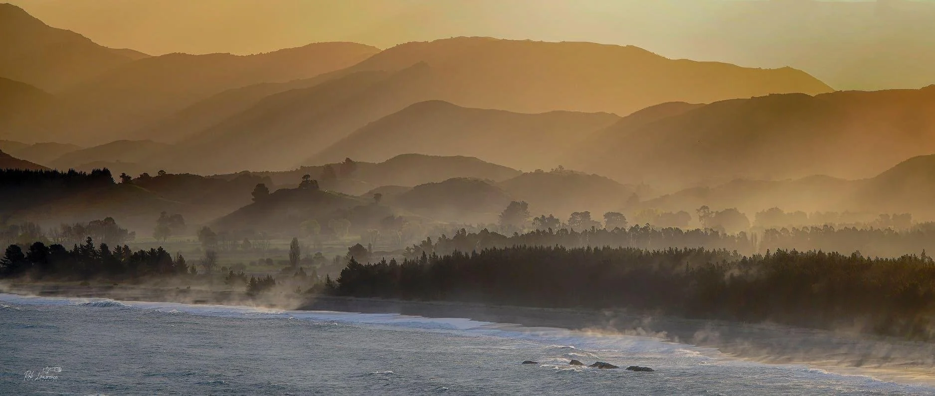
South Bay – Kaikōura This photograph was taken at sunset from Water Tank Hill, looking across South Bay towards the Kaikōura southern coastline. Beyond the first headland, State Highway 1 follows the coast, at times running remarkably close to the sea as it continues south. The name Kaikōura is derived from the Māori words kai, meaning "food" or "meal," and kōura, meaning "crayfish." The name reflects the area's long association with the rich marine resources that have sustained both Māori and later communities for generations. As the last light of day fades across the bay, the combination of mountains, ocean, and sky captures the unique character that makes Kaikōura one of New Zealand's most spectacular coastal landscapes.
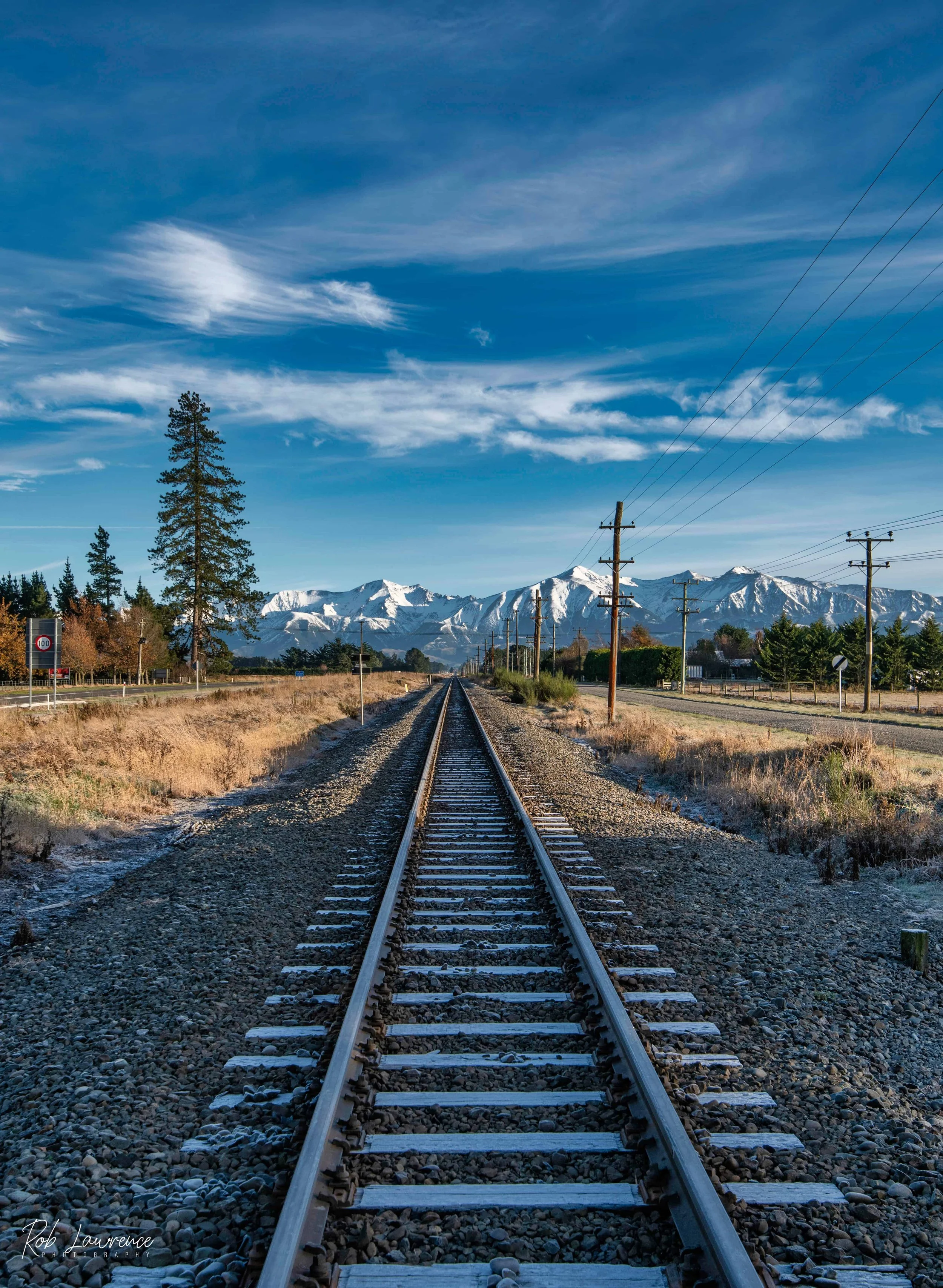
Looking West from Sheffield Looking west from Sheffield, the Torlesse Range dominates the horizon, with the familiar outline of Sleeping Beauty forming part of this iconic Canterbury landscape. The railway line in the foreground is a vital link between the West Coast and the Port of Lyttelton. It carries frequent coal trains transporting West Coast coal for export, while also providing the route for the world-renowned TranzAlpine passenger service. Travelling between Christchurch and Greymouth, the TranzAlpine is widely regarded as one of the world's great scenic rail journeys. Crossing the Canterbury Plains, climbing through the Southern Alps, and descending to the rugged West Coast, the train passes over impressive viaducts, crosses numerous bridges, and travels through 19 tunnels, including the 8.5-kilometre Otira Tunnel beneath the Main Divide. Although the journey is not inexpensive, it is well worth experiencing. We can board at Darfield and it is favourite way to enjoy the spectacular scenery of the South Island.
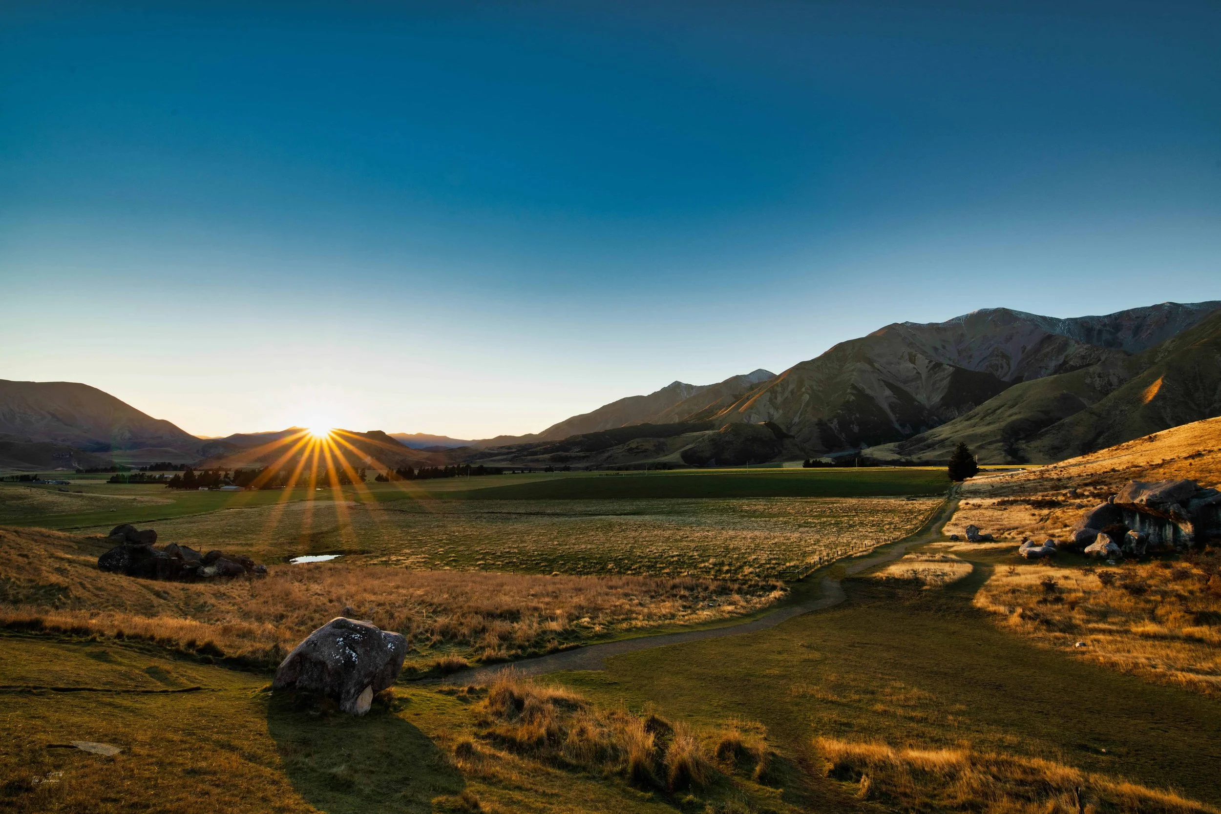
Castle Hill morning burst
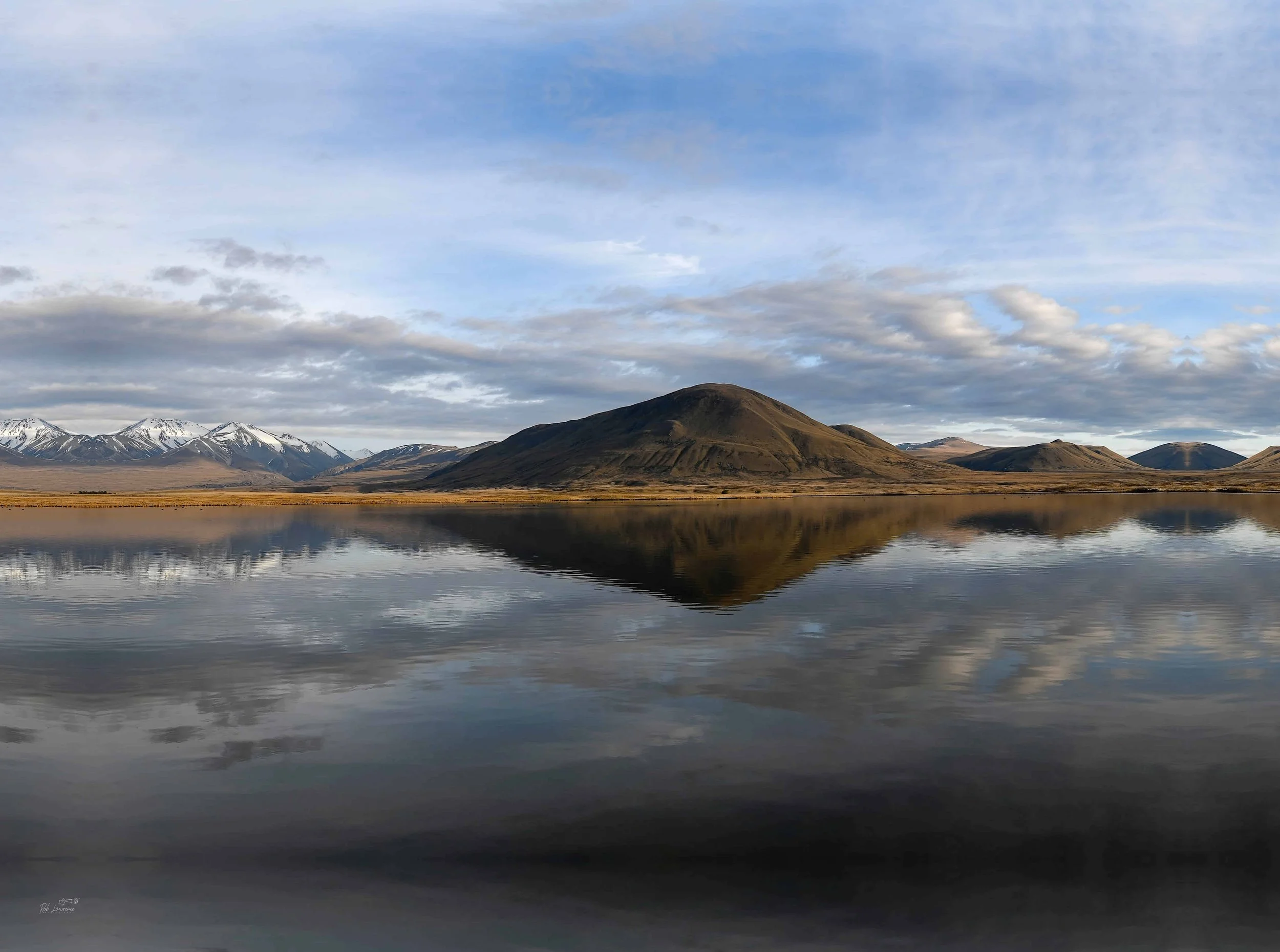
Lake Emma
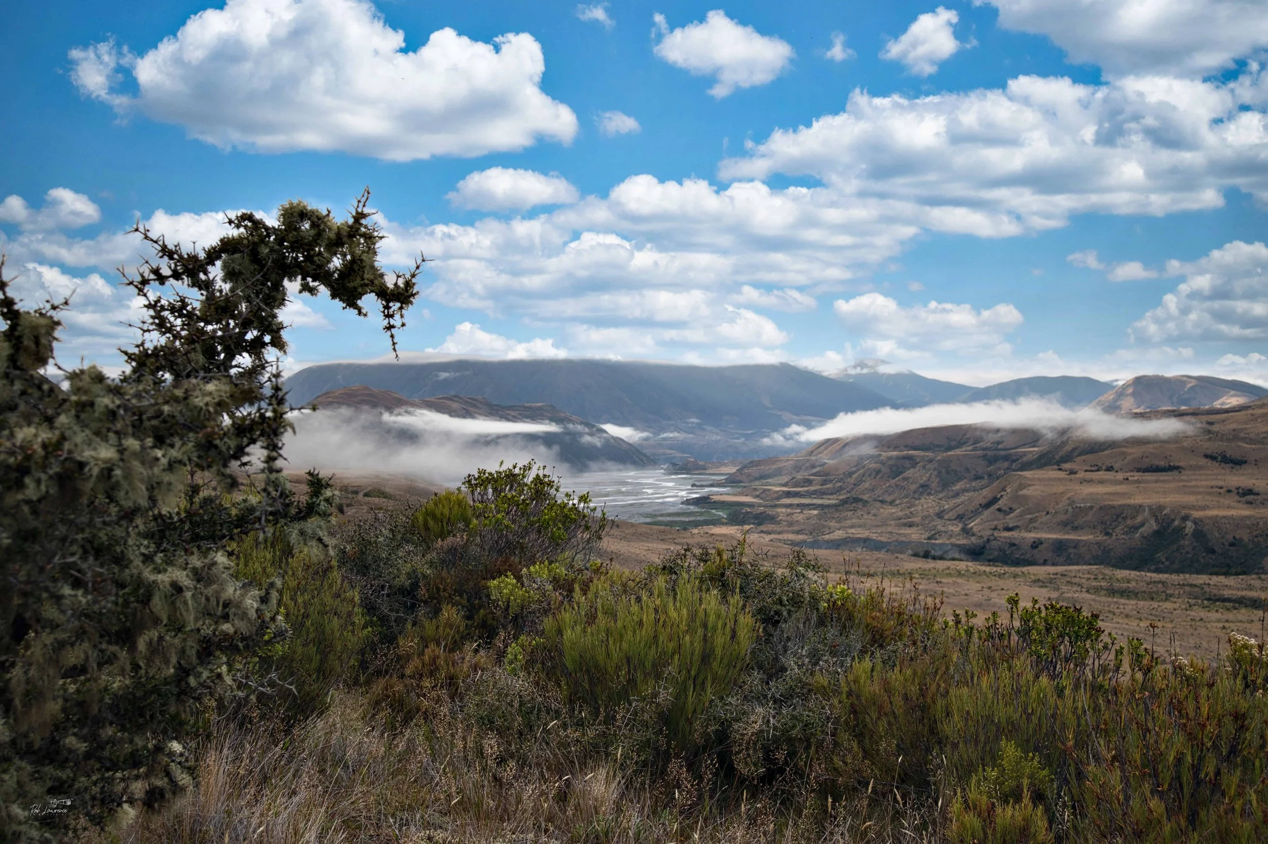
Confluence of the Poulter River and Waimakariri River
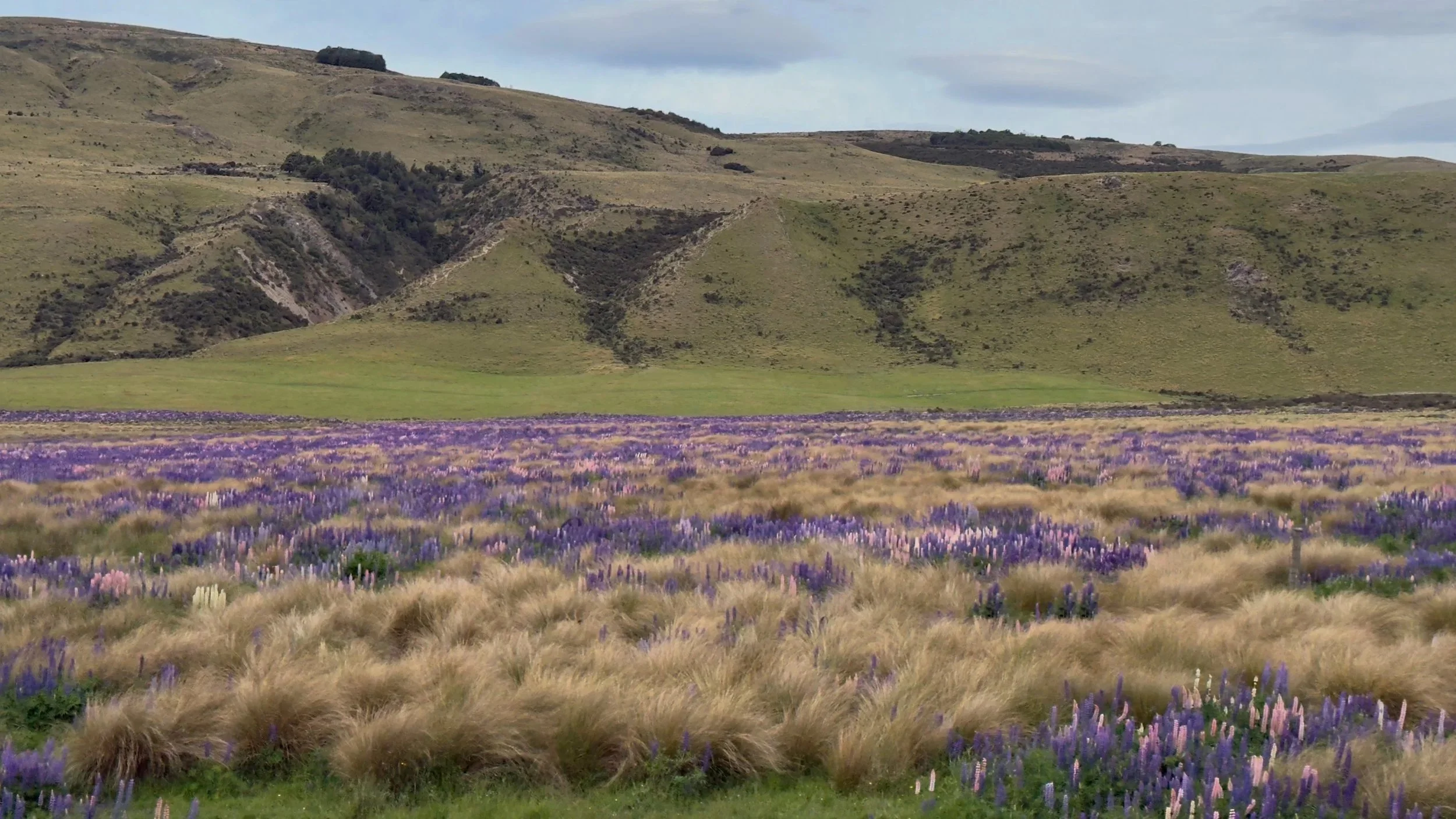
Craigeburn Station Lupines from the TranzAlpine
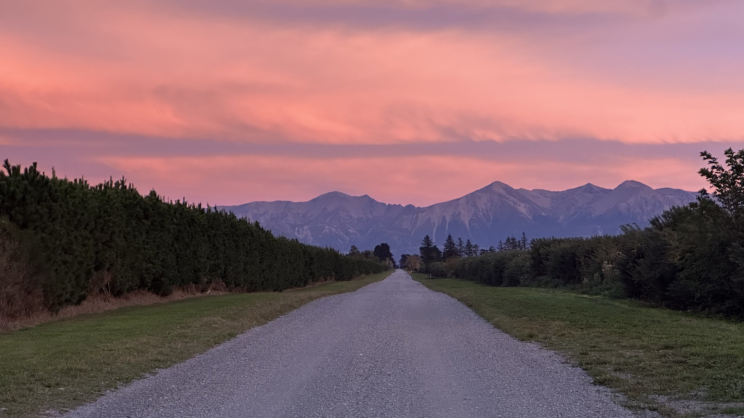
Sleeping Beauty – Tram Road Looking west from Tram Road, the Torlesse Range forms one of the defining landscapes of western Selwyn. On clear days, the mountain skyline reveals the distinctive profile known locally as Sleeping Beauty. There are several interpretations of how the mountain silhouette is composed. To my eye, the prominent peak just right of centre forms her breast. Moving left, the shallow saddle suggests her chin, followed by a small peak that becomes her nose, while Foggy Peak completes the outline of her forehead. It is one of those landscapes that invites each viewer to discover their own interpretation, making it a familiar and much-loved feature of the Canterbury Plains.
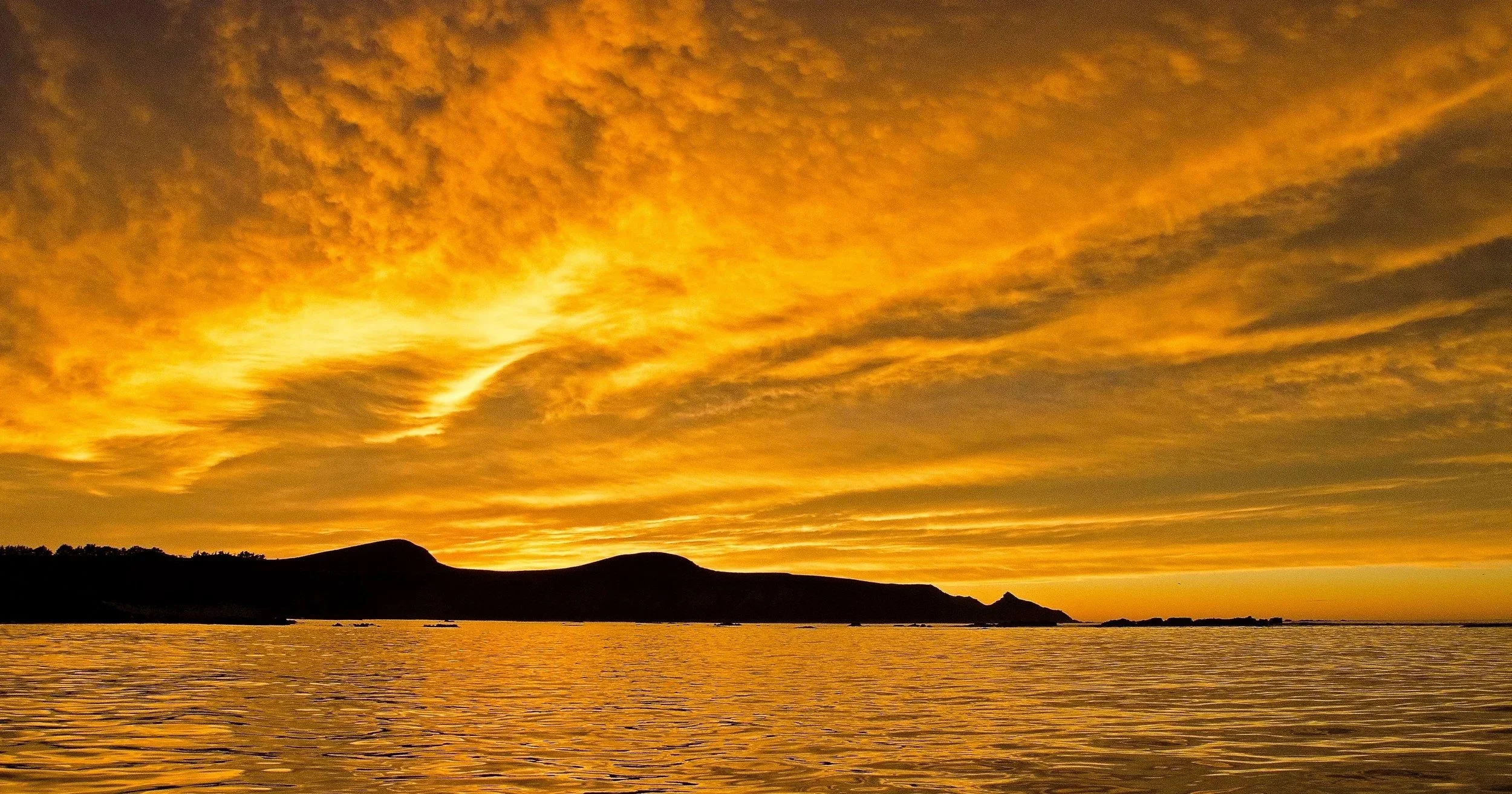
The Sharks Tooth Sunrise. Kaikoura
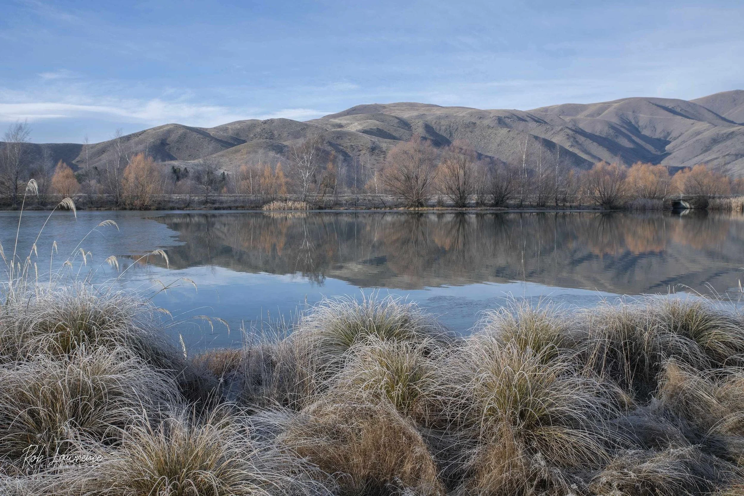
Twizel Ice Tussocks
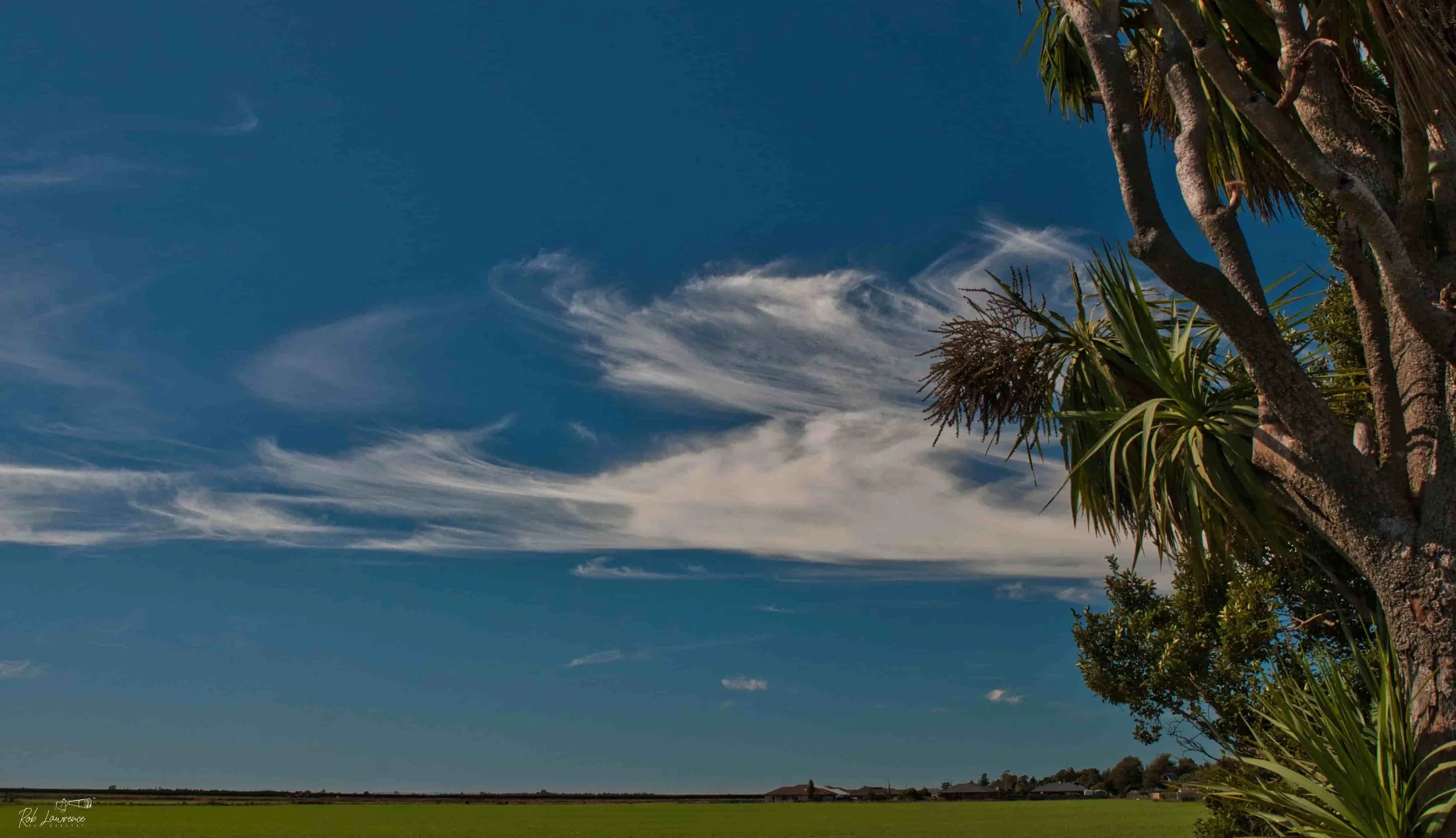
Whispy Clouds from the backyard 224 Horndon street
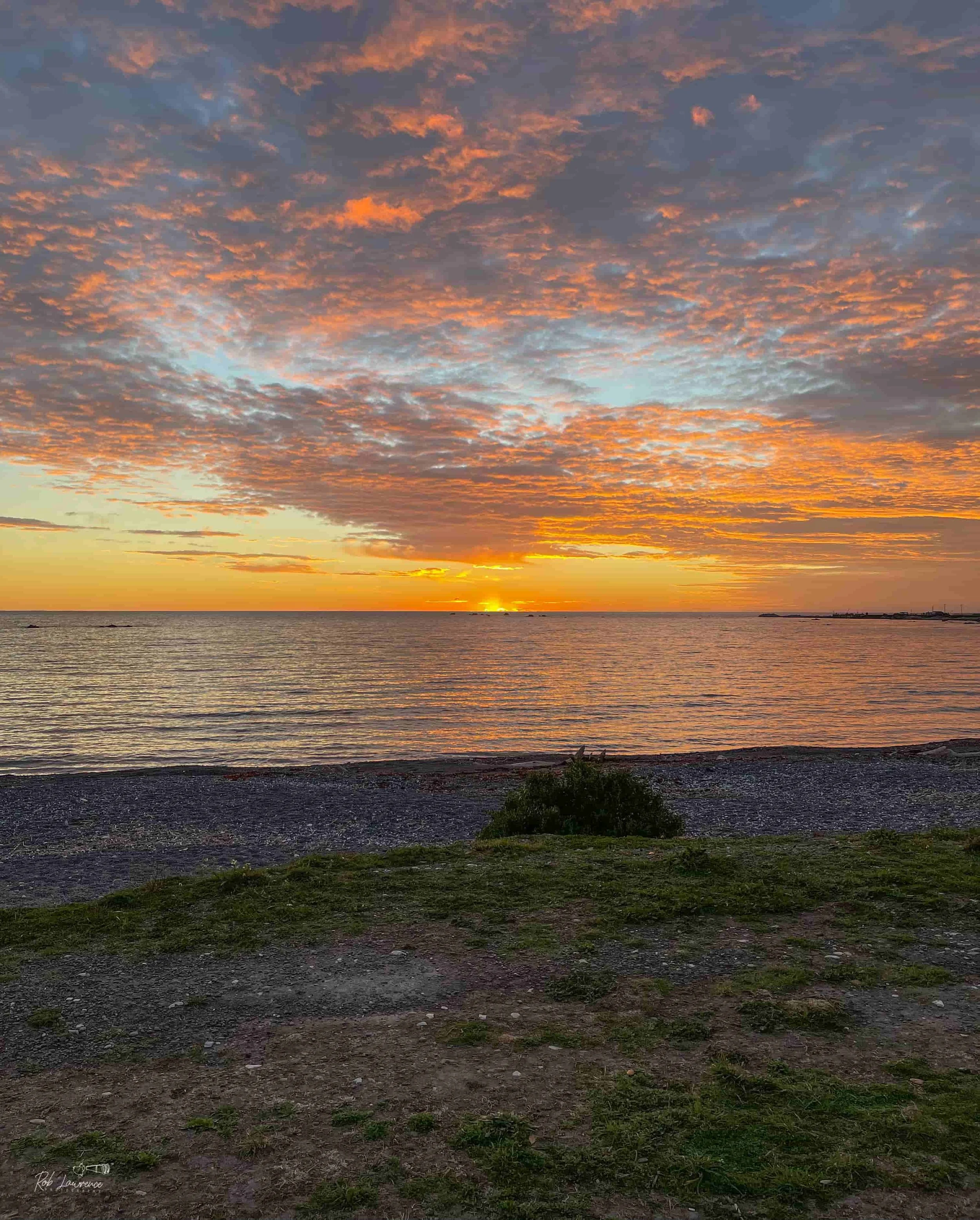
Kaikoura Sunrise
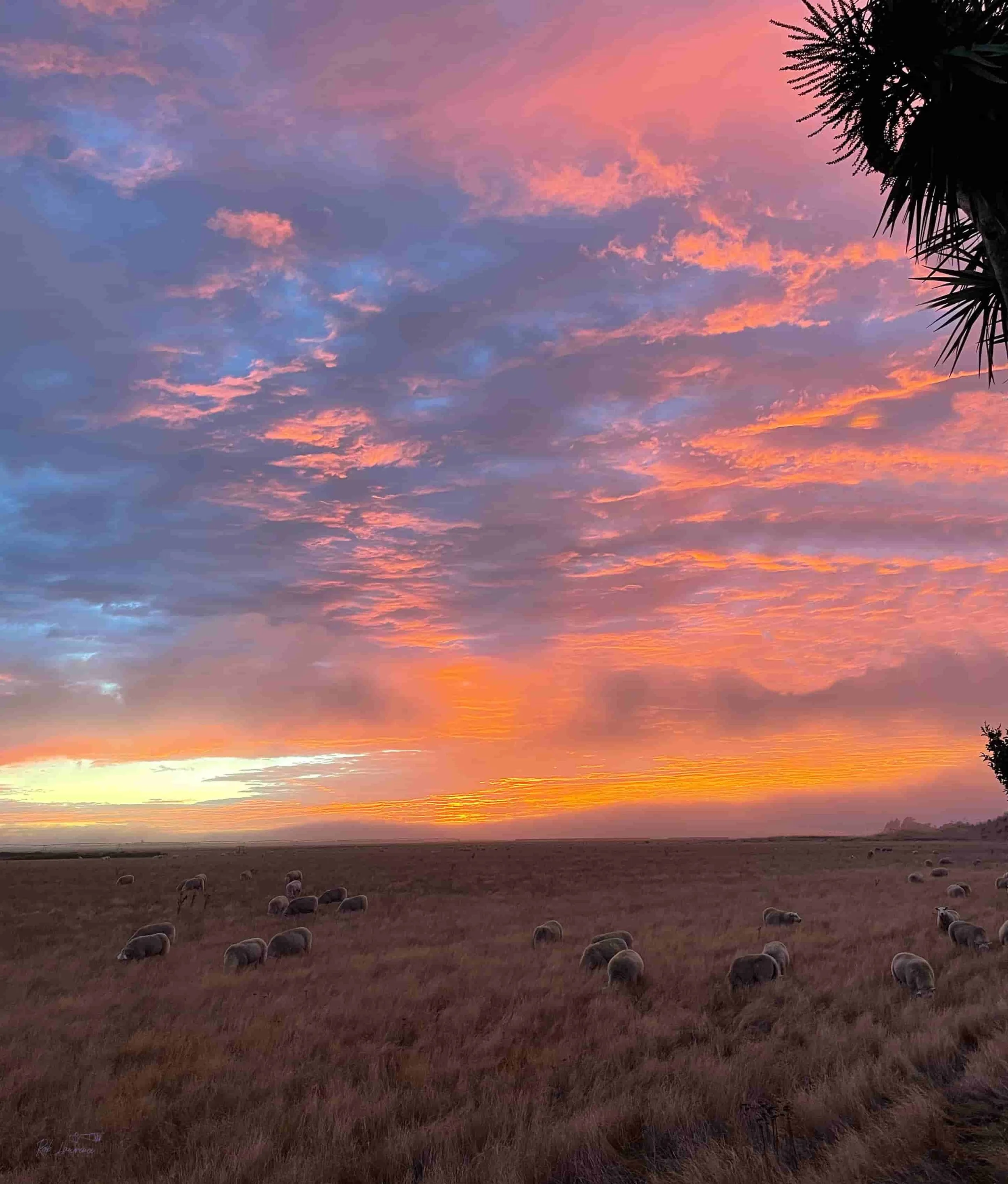
Sun Rise 224 Horndon Street
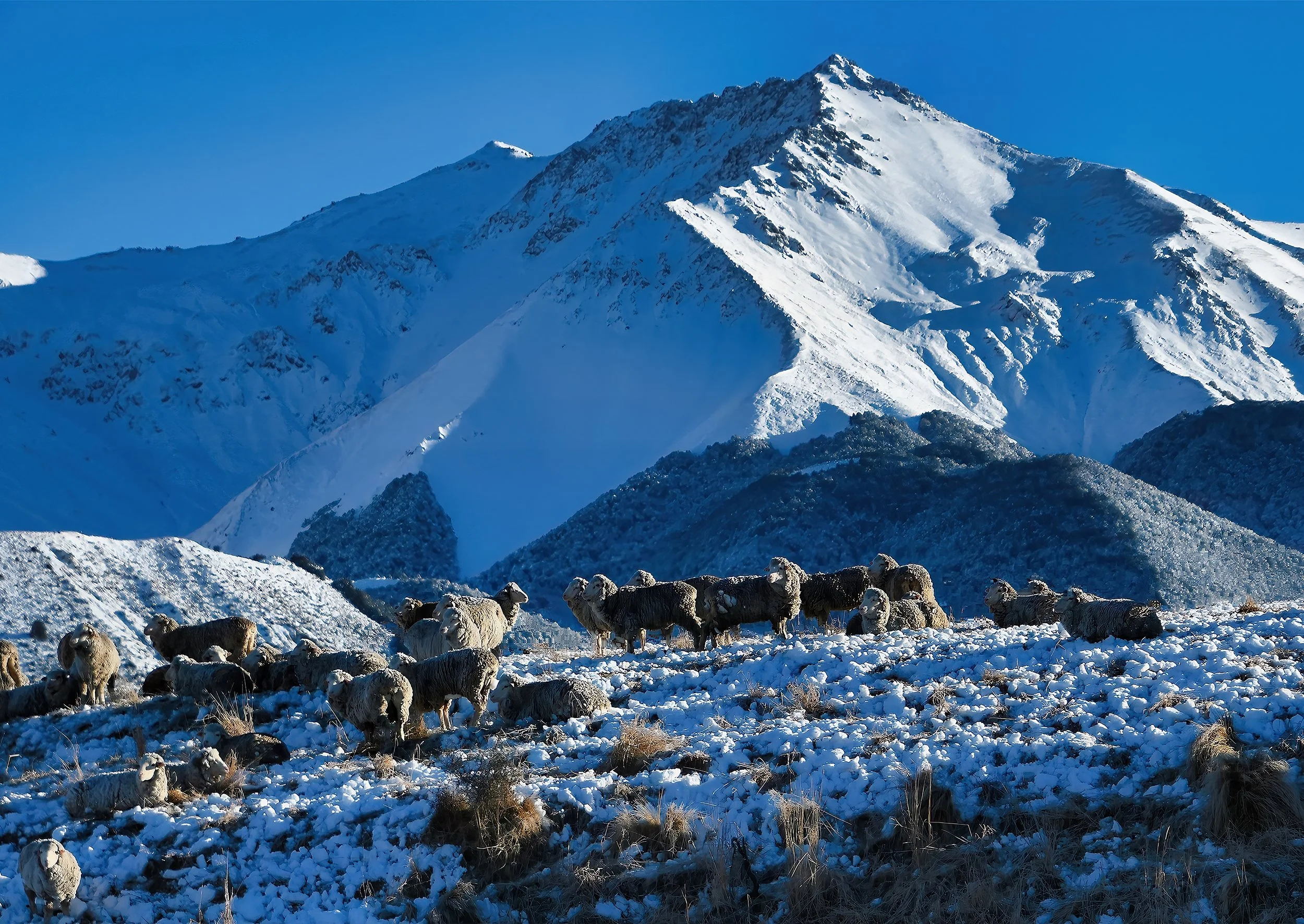
Castle Hill Station Merinos with Cragieburn Ranges
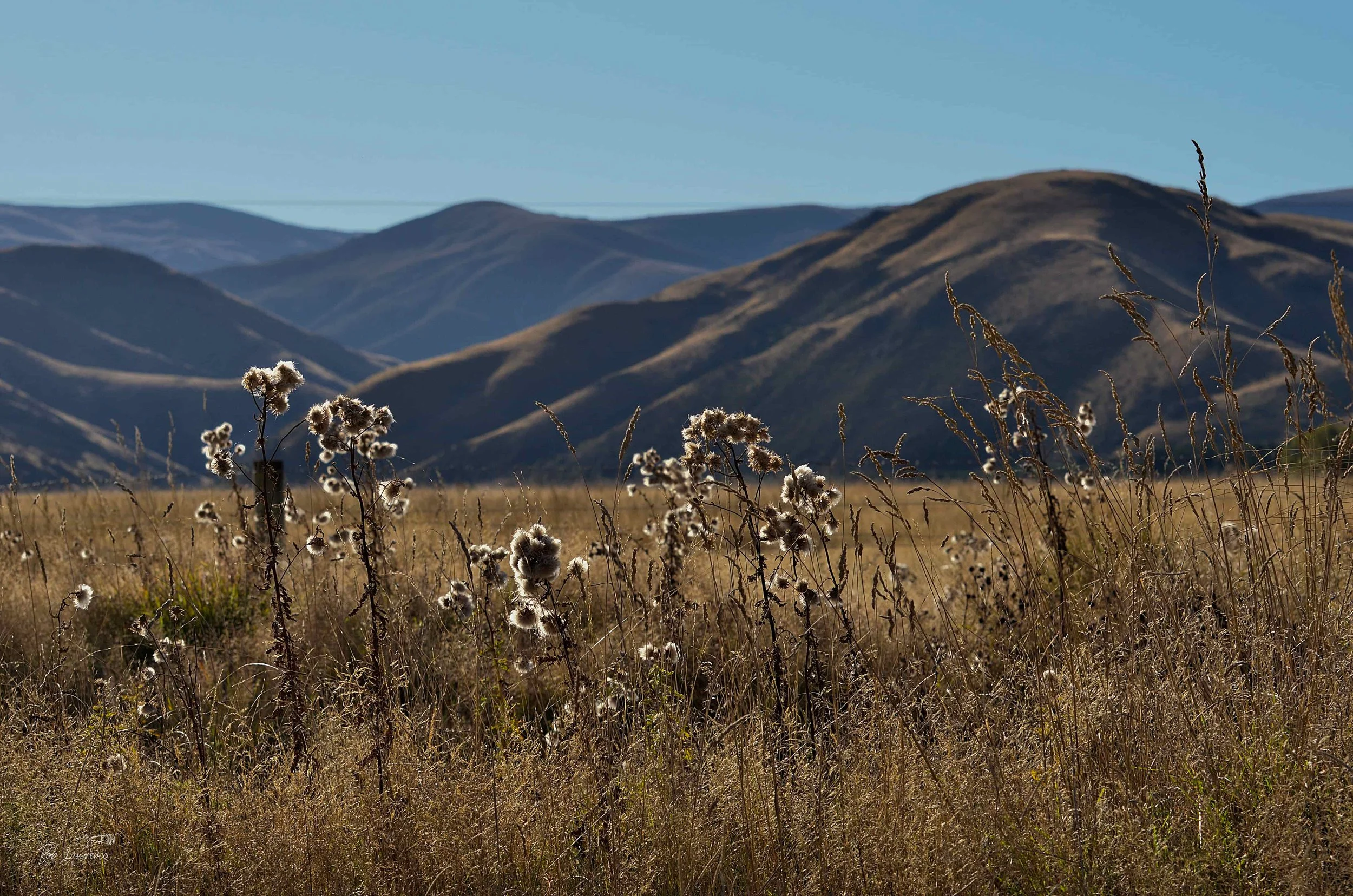
Thistles in Lee's Valley

Girl on a Tussock Hill
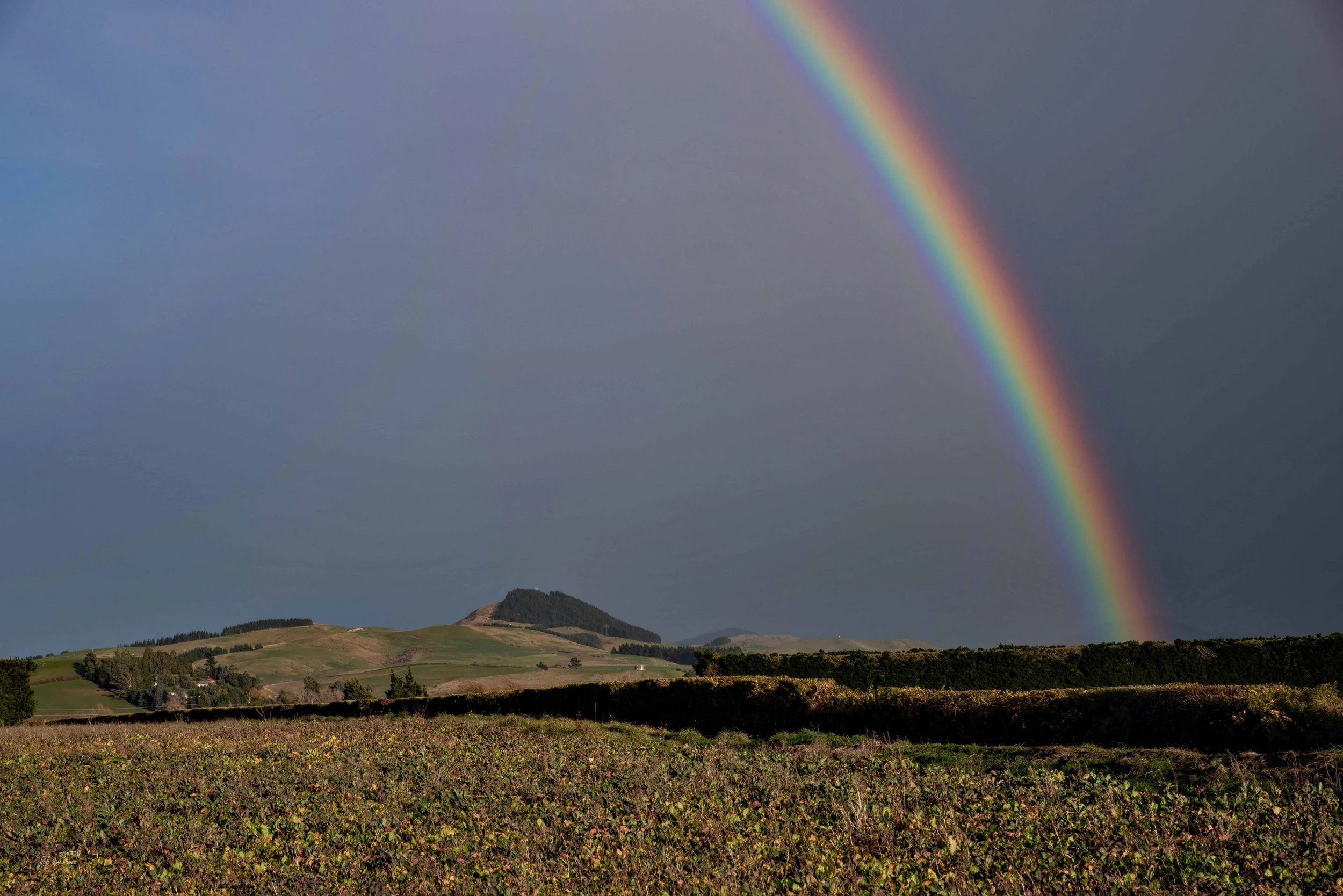
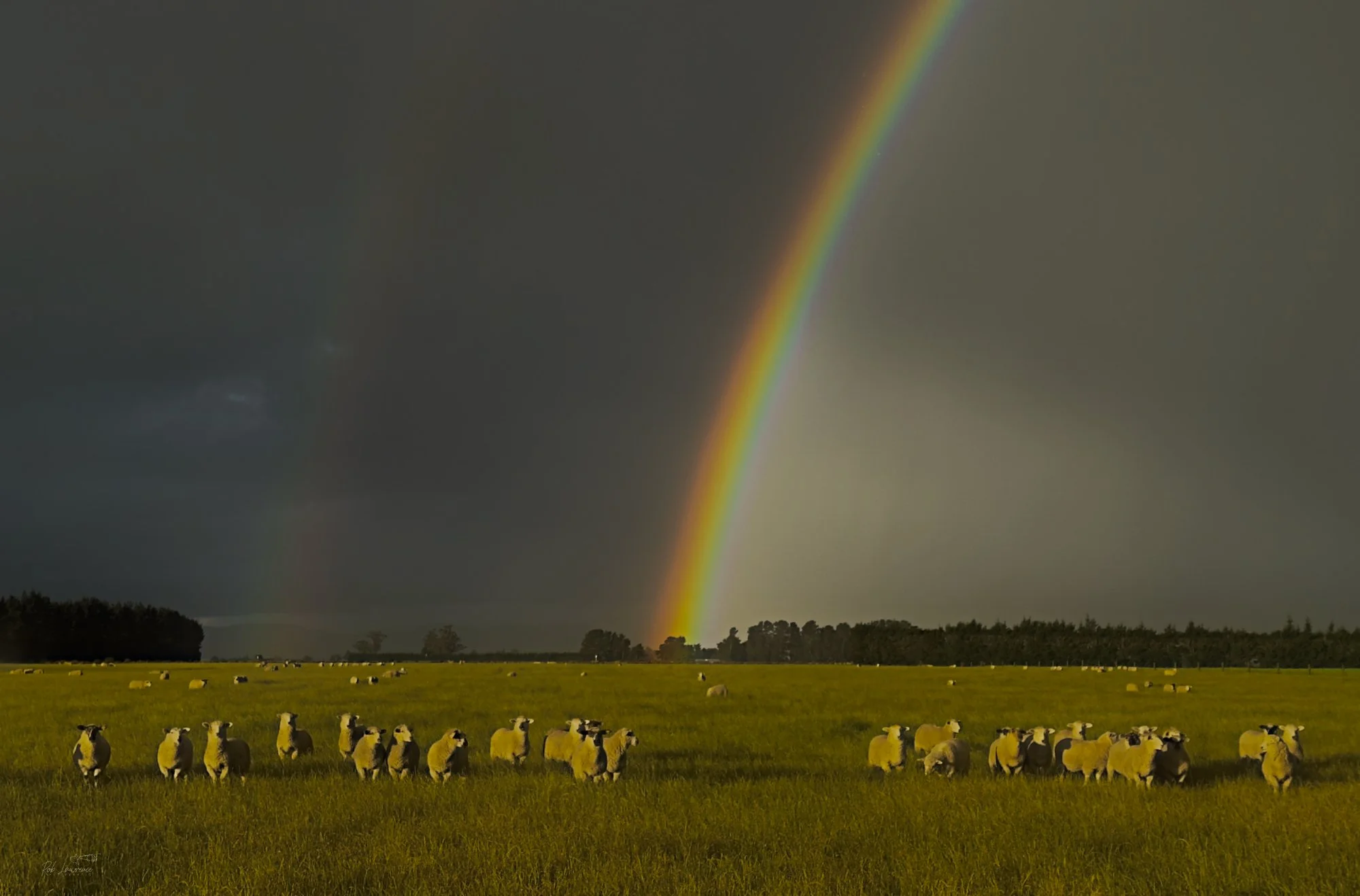
Abner's Knob Rainbow
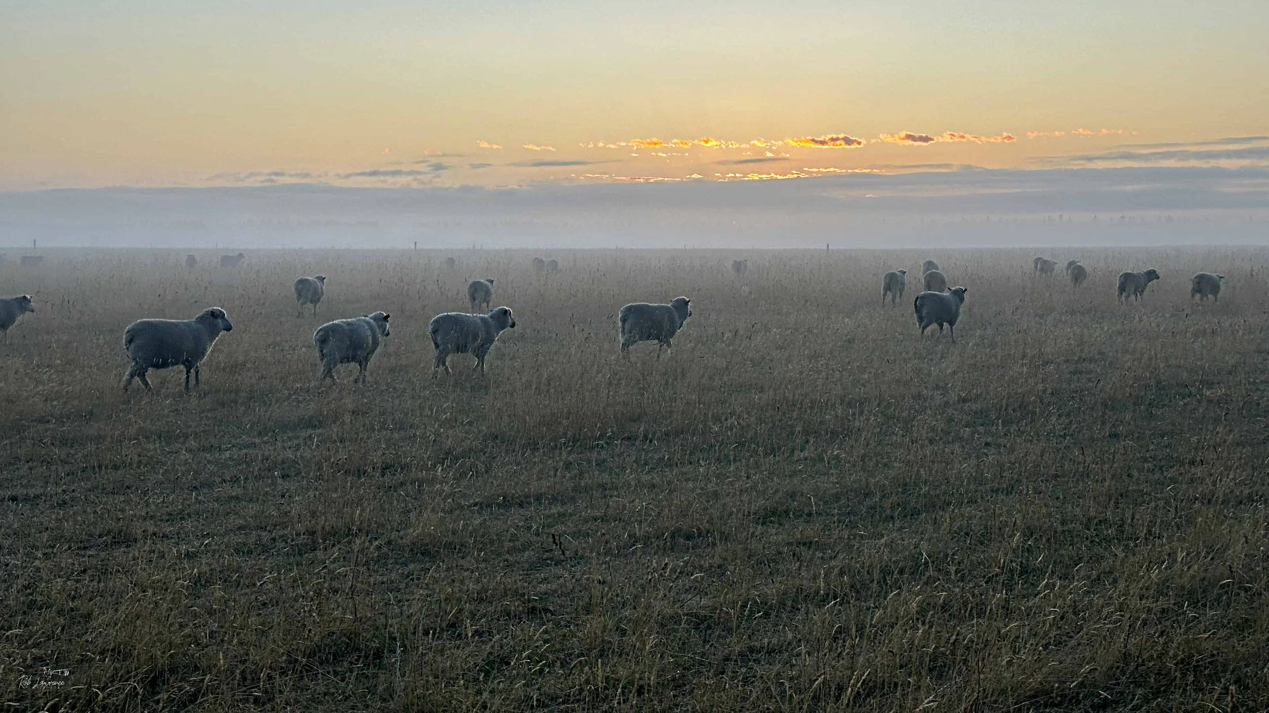
Sheep going to the Sunrise
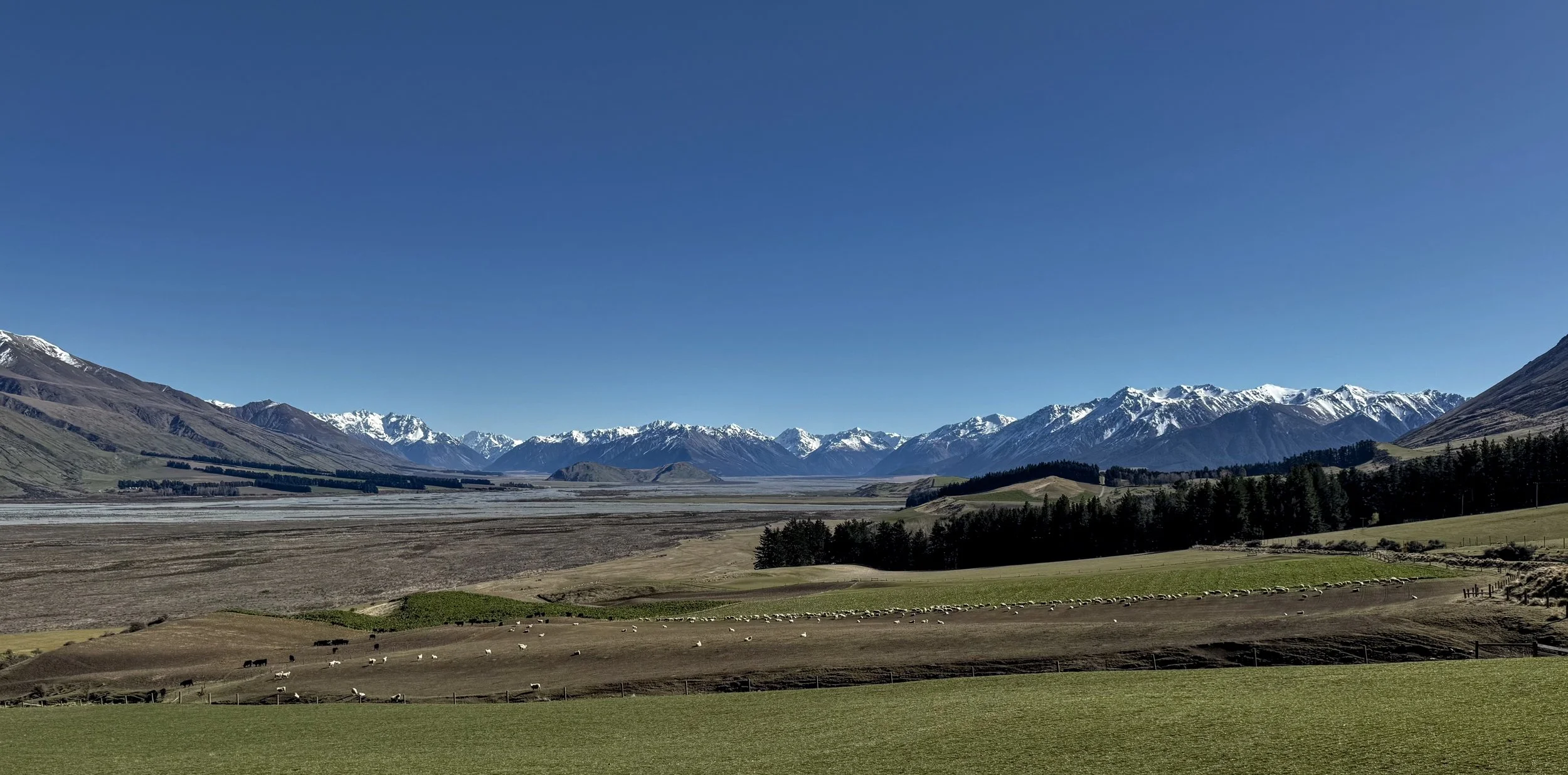
Upper Rakaia Valley Southern Alps in distance
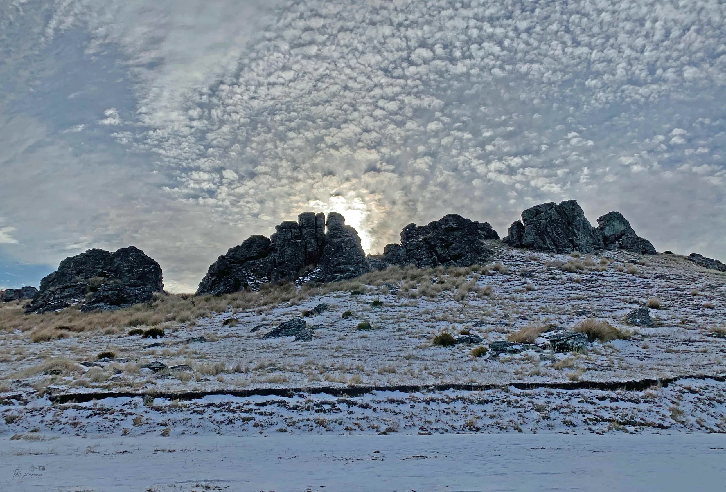
Poolburn. a crown of Ice and Light Poolburn Reservoir is one of Central Otago's most distinctive high-country lakes. Located between Ophir and Oturehua, it was created in the 1930s by damming Pool Burn to provide a reliable irrigation water supply for the surrounding dry farmland. Today, the reservoir is valued as much for its scenery as its practical purpose. Granite tors, weathered schist outcrops, and golden tussock surround the water, creating a landscape that changes dramatically with the seasons. On calm winter mornings the reservoir can become a frozen mirror, reflecting the rugged hills and expansive Central Otago skies. While the landscape is impressive, it is often the smaller details that catch my eye. The angled ice photograph in the Black & White Gallery reveals the intricate patterns and textures formed as the reservoir freezes—reminding us that nature creates its own artwork if we take the time to look closely.
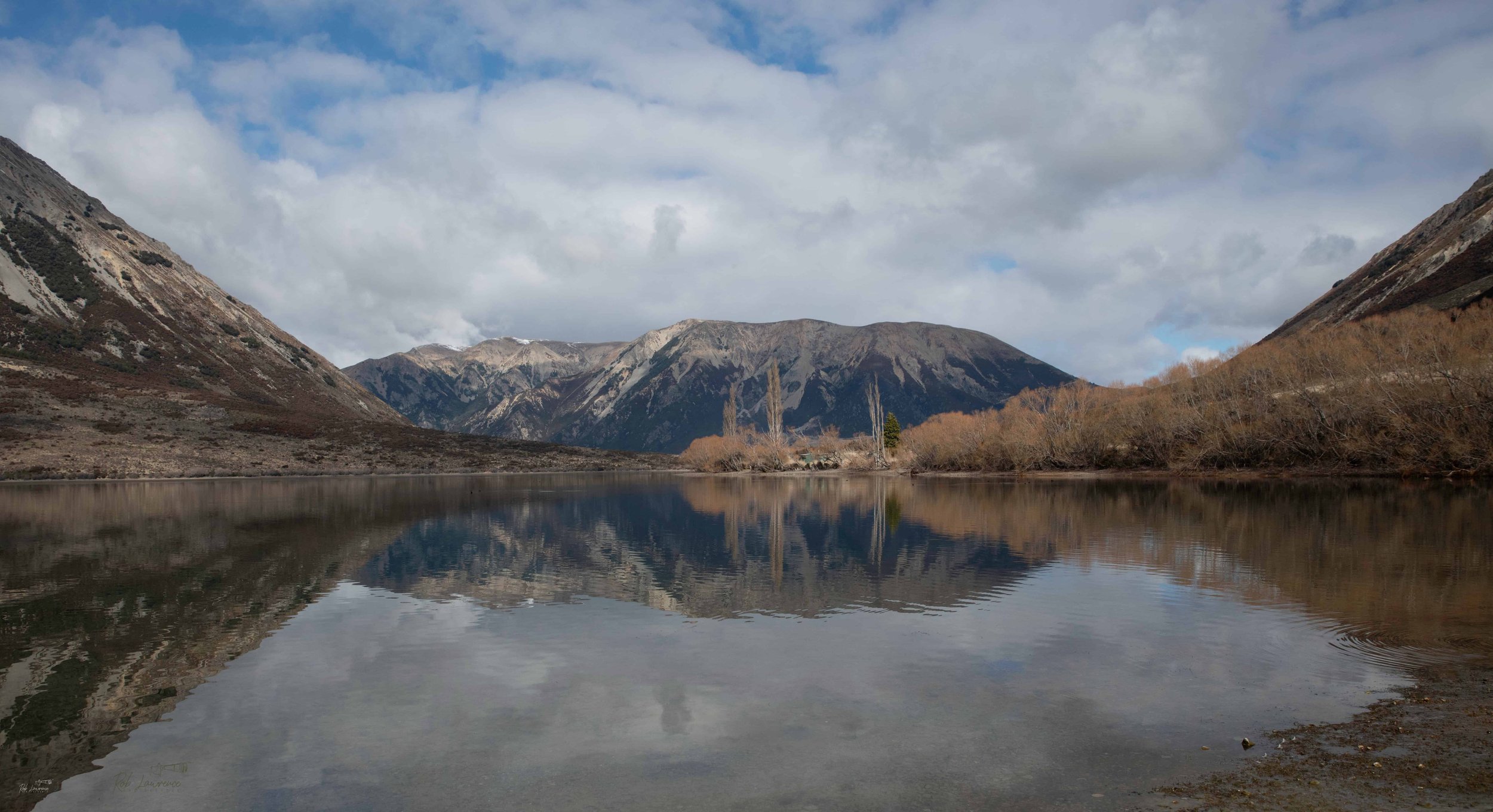
Lake Pearson Reflection of Flock Hill
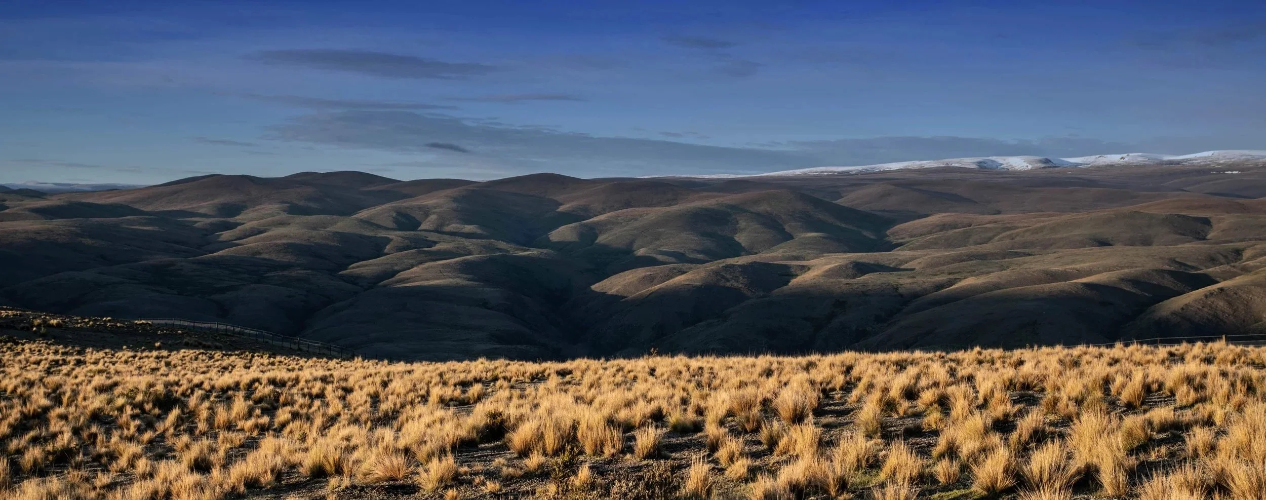
Hills and Tussock - Otematata
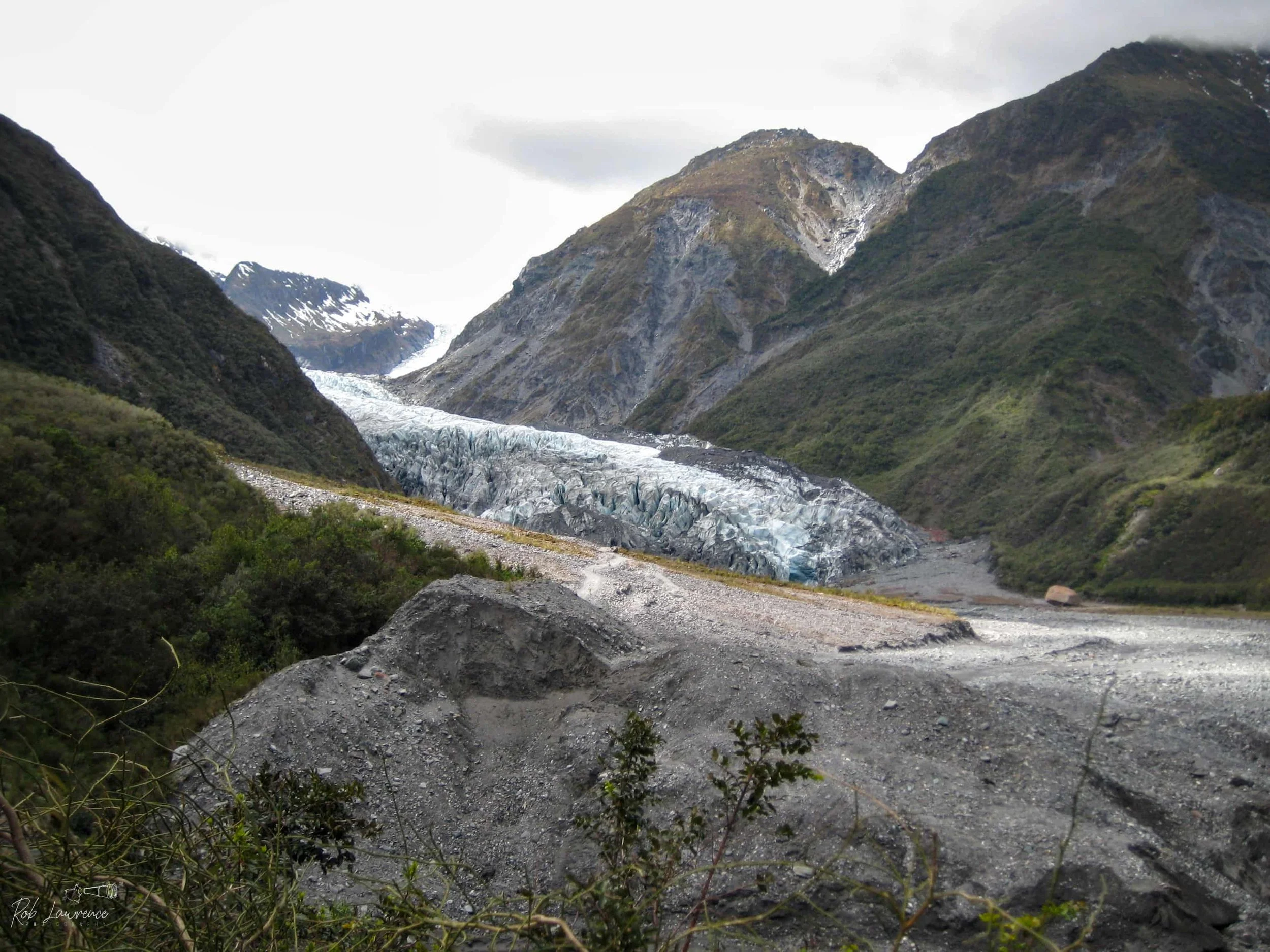
Franz Josef Glacier / Kā Roimata o Hine Hukatere The Māori name for the glacier means "The Tears of Hine Hukatere." According to the traditions of Ngāi Tahu, Hine Hukatere's beloved, Wawe, was killed in an avalanche while climbing the mountains. Overcome with grief, her tears flowed down the valley and, through the power of the gods, froze to become the glacier. In 1865, Austrian geologist Julius von Haast named the glacier in honour of Franz Joseph I. This photograph was taken in 2008. Since then, the glacier has continued to retreat significantly as a result of a warming climate, providing a visible reminder of the environmental changes occurring in New Zealand's alpine landscape.
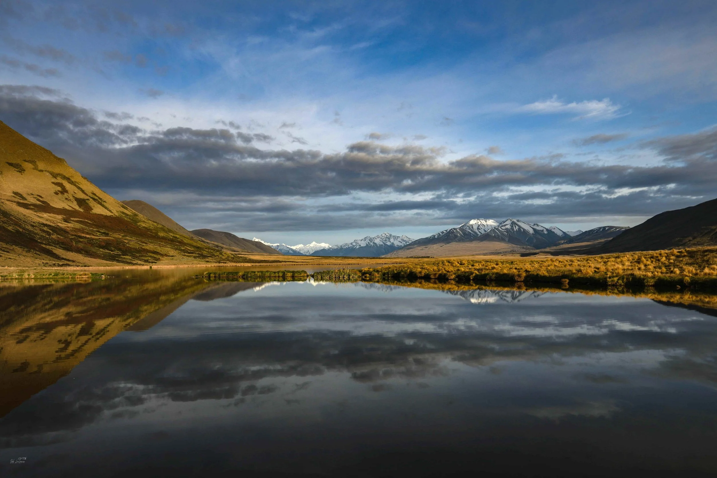
Lake Emma with Mount D'Archiac Rising above Lake Emma in the distance. Mount D'Archiac is the highest peak in the Two Thumb Range, a subrange of the Southern Alps. Located approximately 180 kilometres west of Christchurch, the mountain forms part of the eastern boundary of Aoraki / Mount Cook National Park. The mountain was named by Julius von Haast in honour of Adolphe d'Archiac (1802–1868), a distinguished French geologist and professor of palaeontology at the Paris Museum of Natural History. The Māori name for the mountain is Kāhuikaupeka, meaning "assembly of river heads." The name reflects the mountain's importance as the source of several rivers and streams that flow from the surrounding high country.
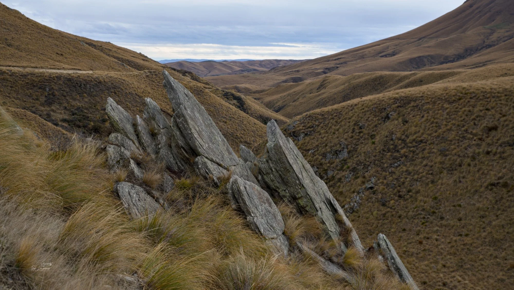
Otago Schist Formed more than 100 million years ago, Otago Schist originated as layers of greywacke and mudstone that were buried deep within the Earth's crust during periods of mountain building. Heat and immense pressure transformed these sedimentary rocks into a hard, foliated metamorphic rock, distinguished by its layered structure and abundant quartz veins. Over millions of years, uplift and erosion exposed the schist that now forms the rugged backbone of Central Otago's mountains and valleys. Because it was readily available, durable, and could be split into flat slabs, schist became the region's natural building stone. Many of Central Otago's historic cottages, churches, bridges, boundary walls, and farm buildings still stand today as enduring reminders of the ingenuity of the district's early settlers.
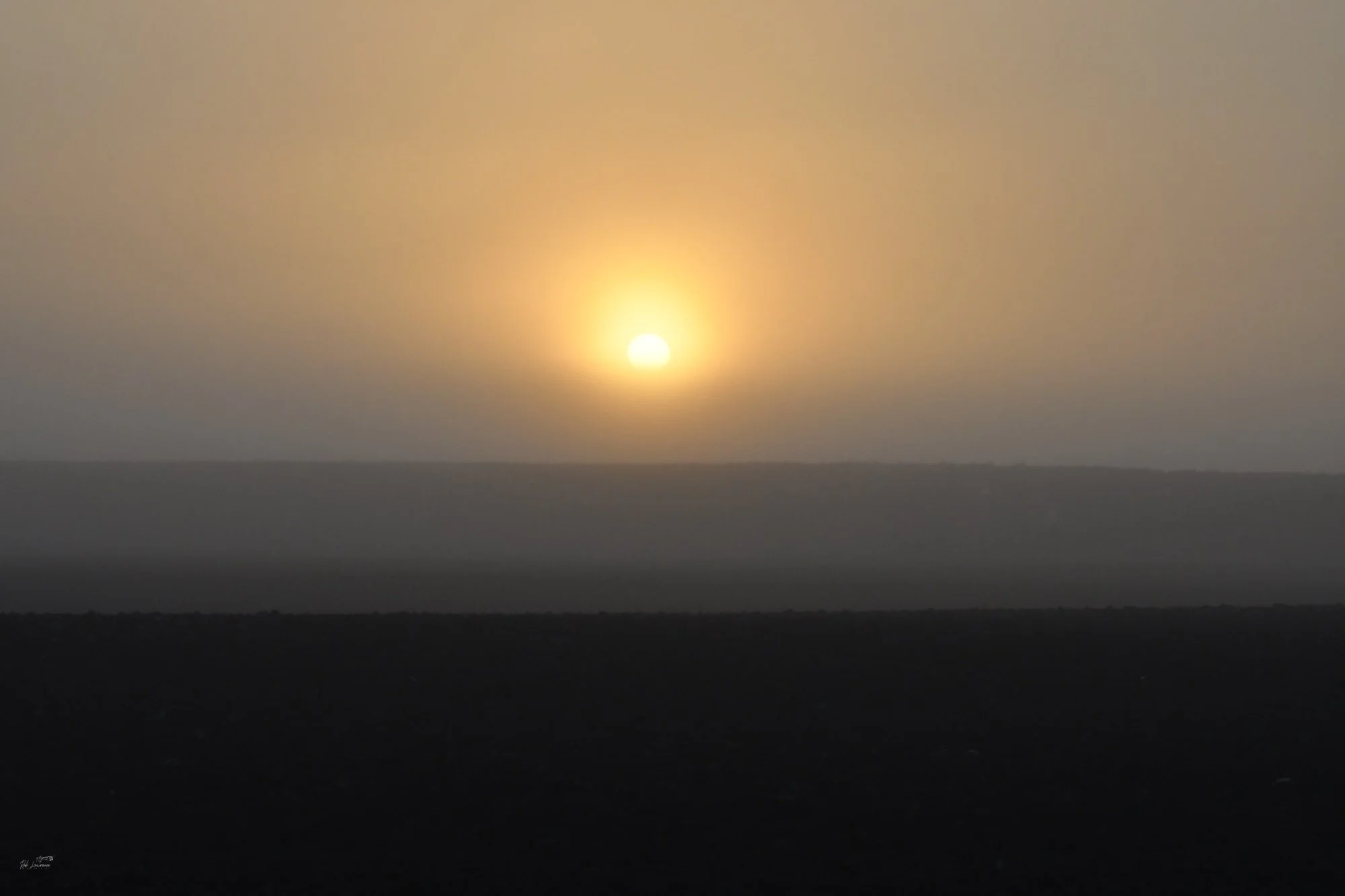
Sunrise Kaitorete Spit
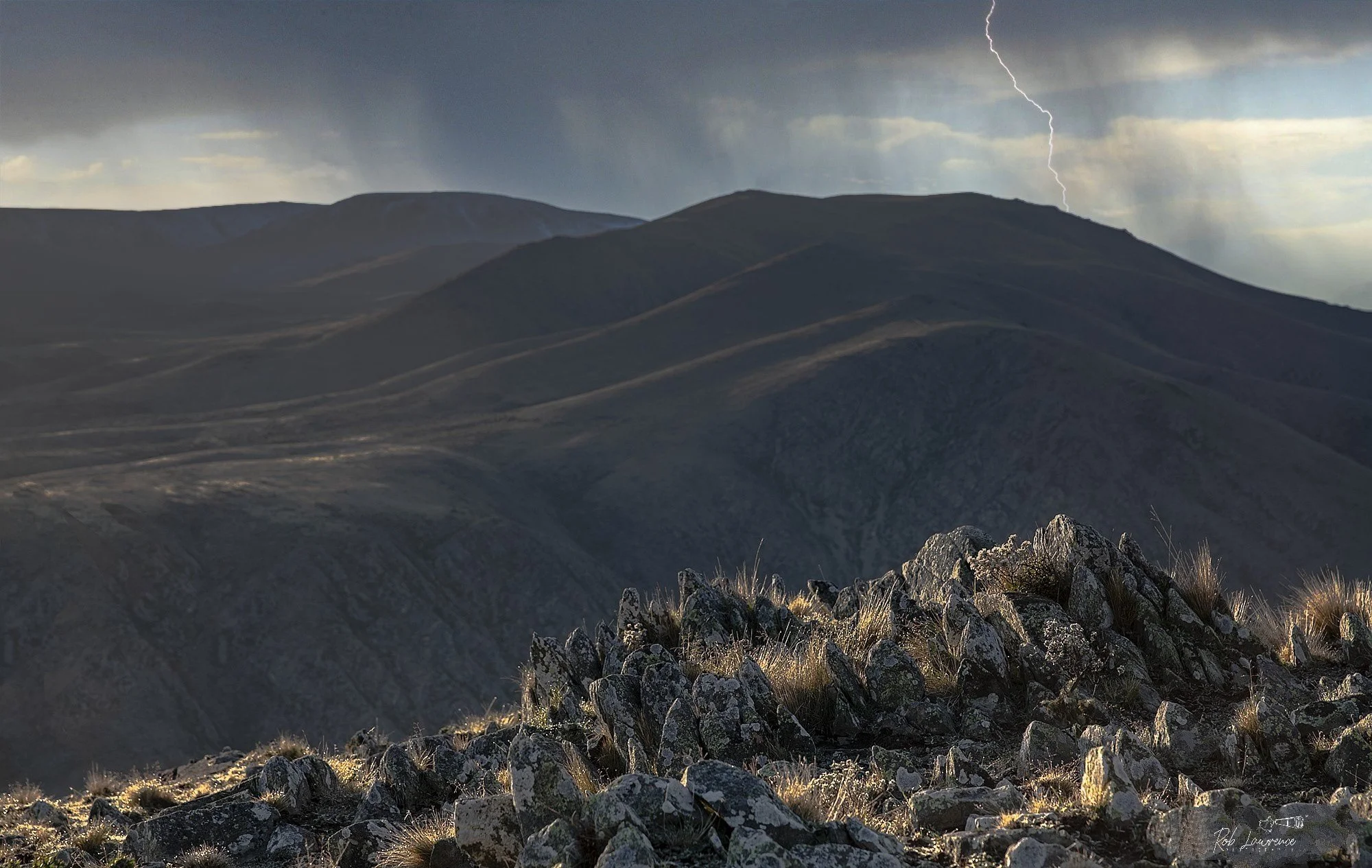
Otago Storm Created by Author his image is the result of experimenting with Luminar Neo's creative editing tools. I began with a photograph of the rock outcrop, where the bright late-afternoon sun had created a strongly backlit background on the left-hand side. To enhance the mood, I added a lightning strike for dramatic effect and introduced a hint of blue sky to suggest a passing storm. While the scene is digitally enhanced, the exercise demonstrates how modern editing software can transform a straightforward landscape photograph into a creative interpretation that captures atmosphere and imagination. storms Like this are a feature of central Otago
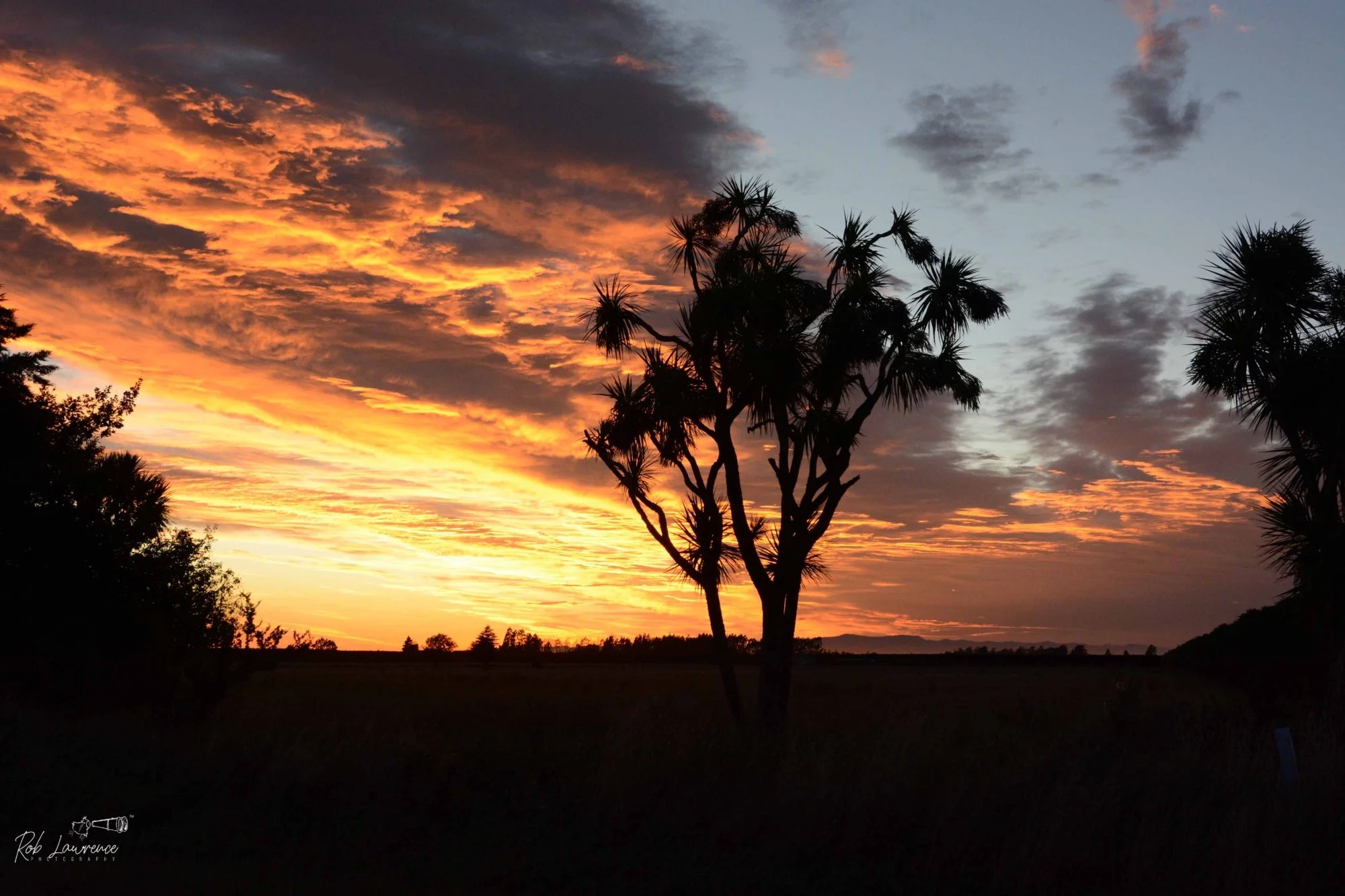
Cabbage Tree Sunrise Corner of Tram Road and Creyke Road, near Kirwee Canterbury is renowned for its spectacular sunrises and sunsets, where the ever-changing light and cloud combine to produce unforgettable displays of colour. The challenge for the photographer is to find a foreground that anchors the composition, adding depth and interest without overshadowing the drama unfolding in the sky. On this morning, the silhouette of the cabbage tree provided the perfect focal point, complementing rather than competing with the vibrant colours of the rising sun.
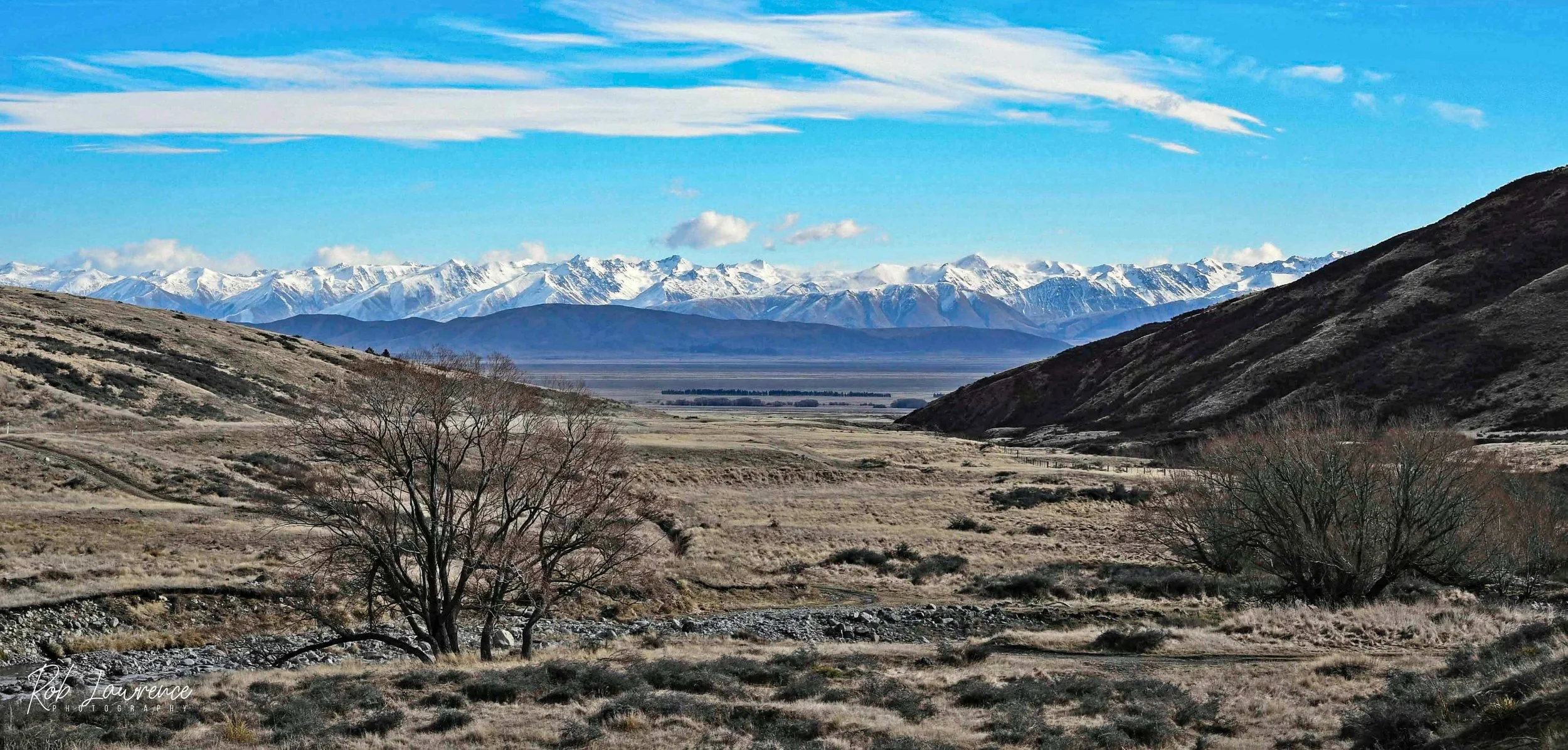
McKenzie Pass looking into the the McKenzie basin and the Southern Alps
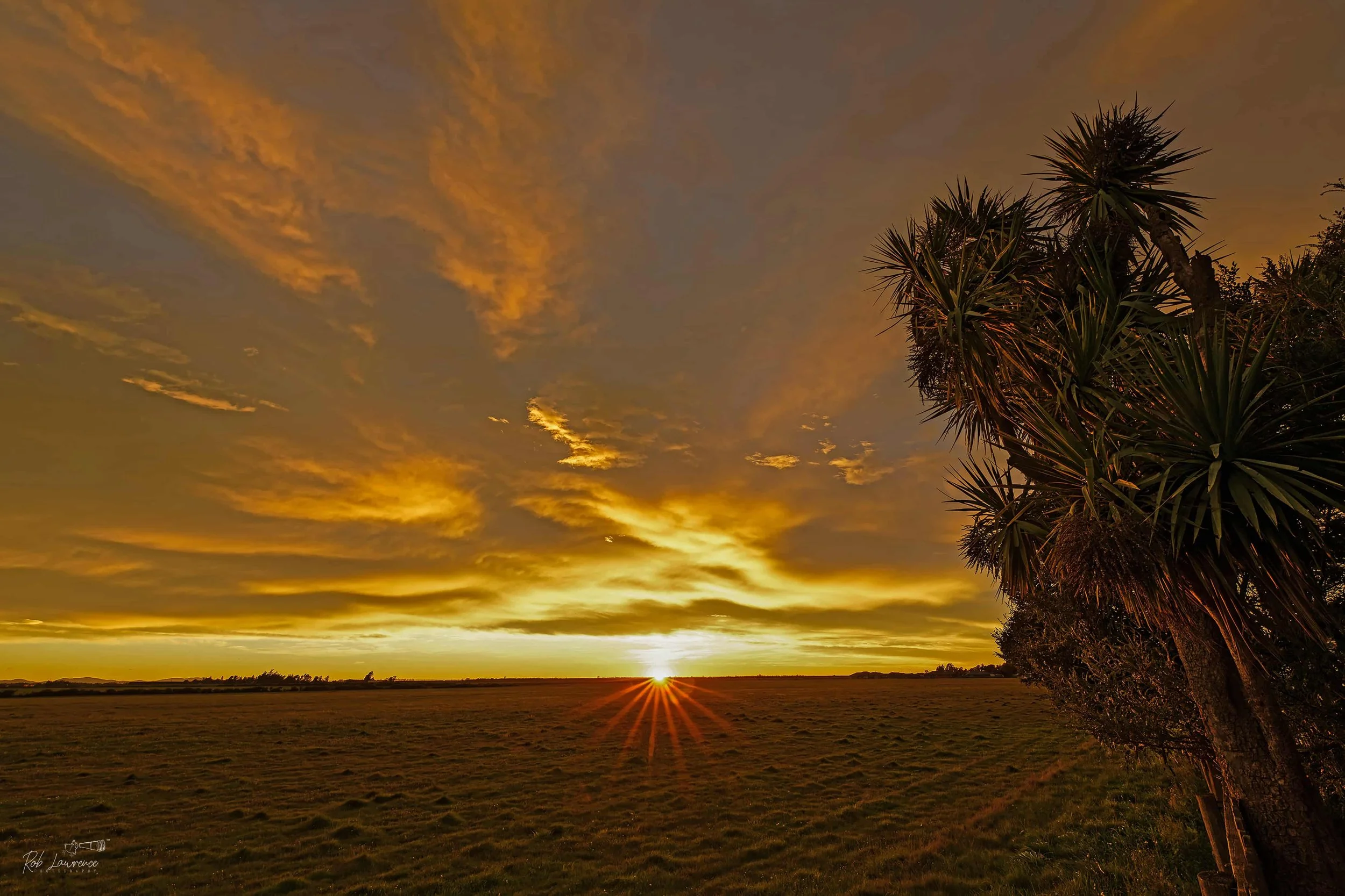
Out the back fence sunrise at 224 Horndon Street Darfield
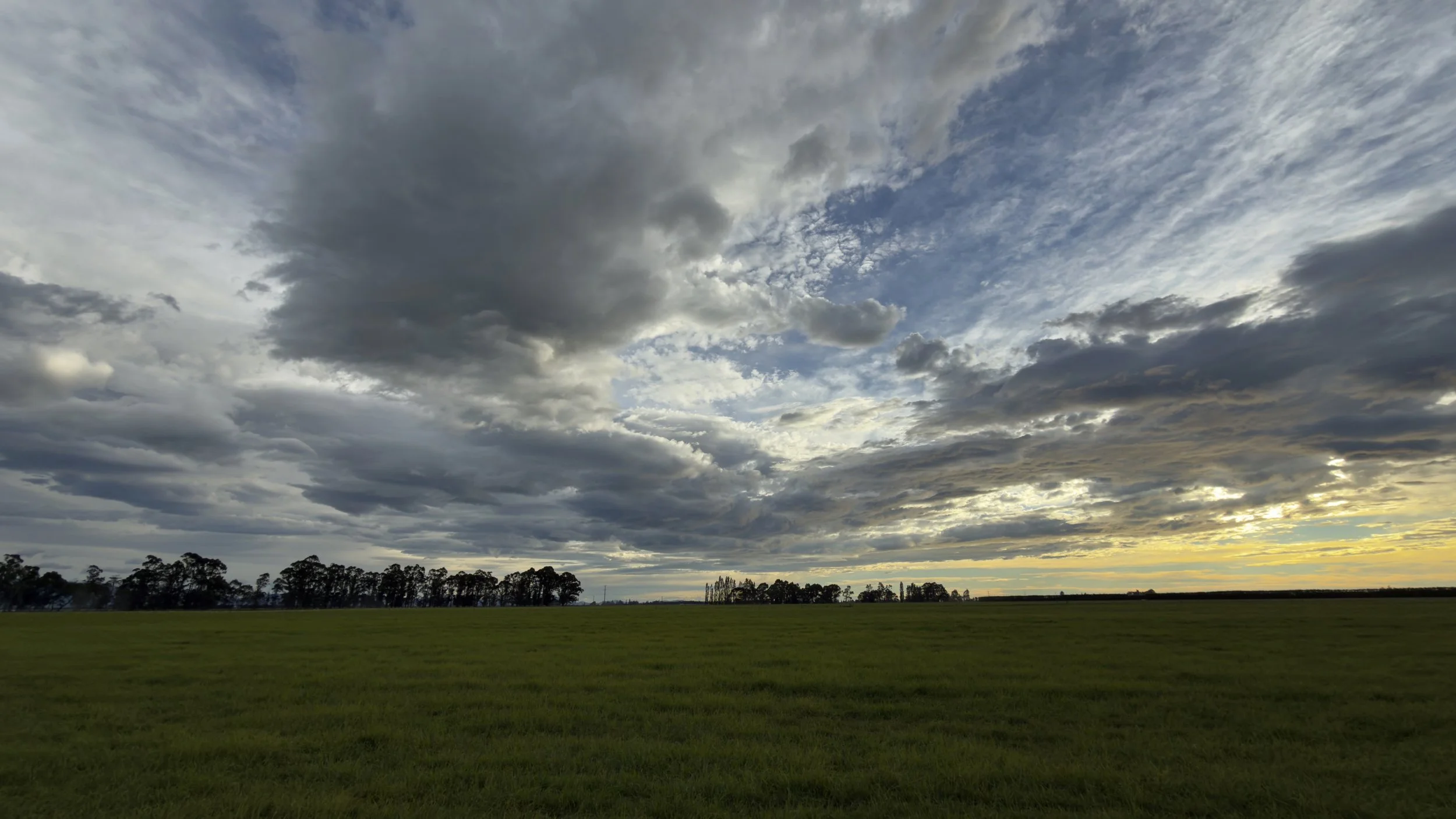
Clouds The sky in Canterbury is amazing always changing never the same
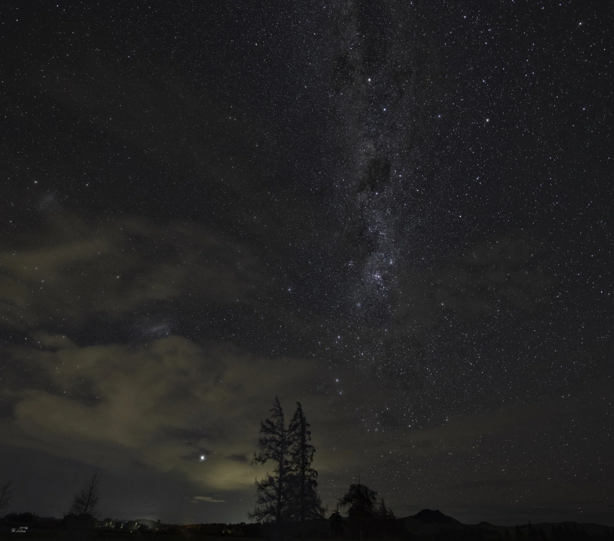
Night Tree. Near Springfield
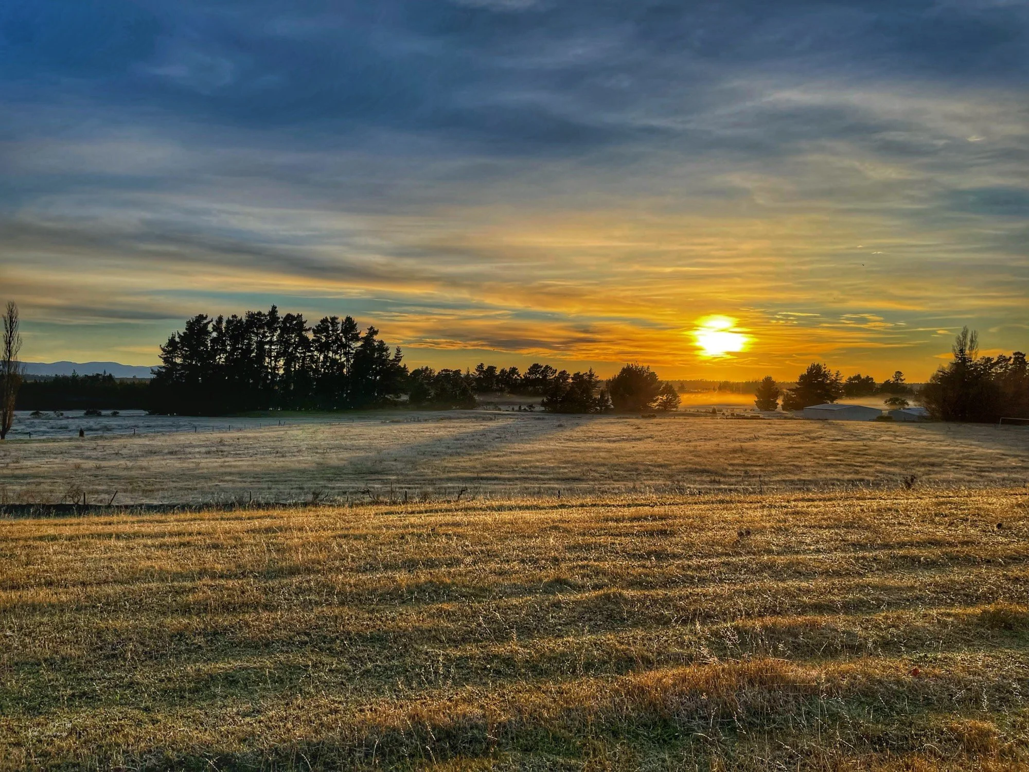
Sunset Near Glenroy
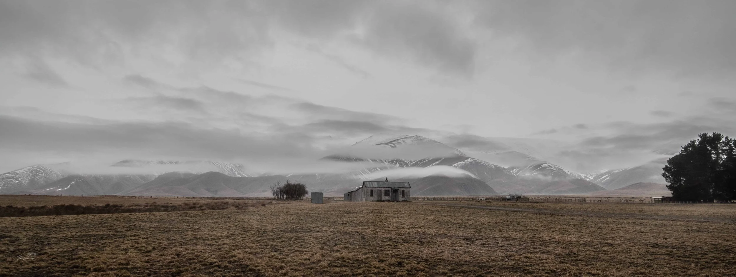
"Gloomy Loneliness " Mcknight's Shedards Kitchen Wedderburn Otago This site was the setting for the Film. "Power of the Dog"
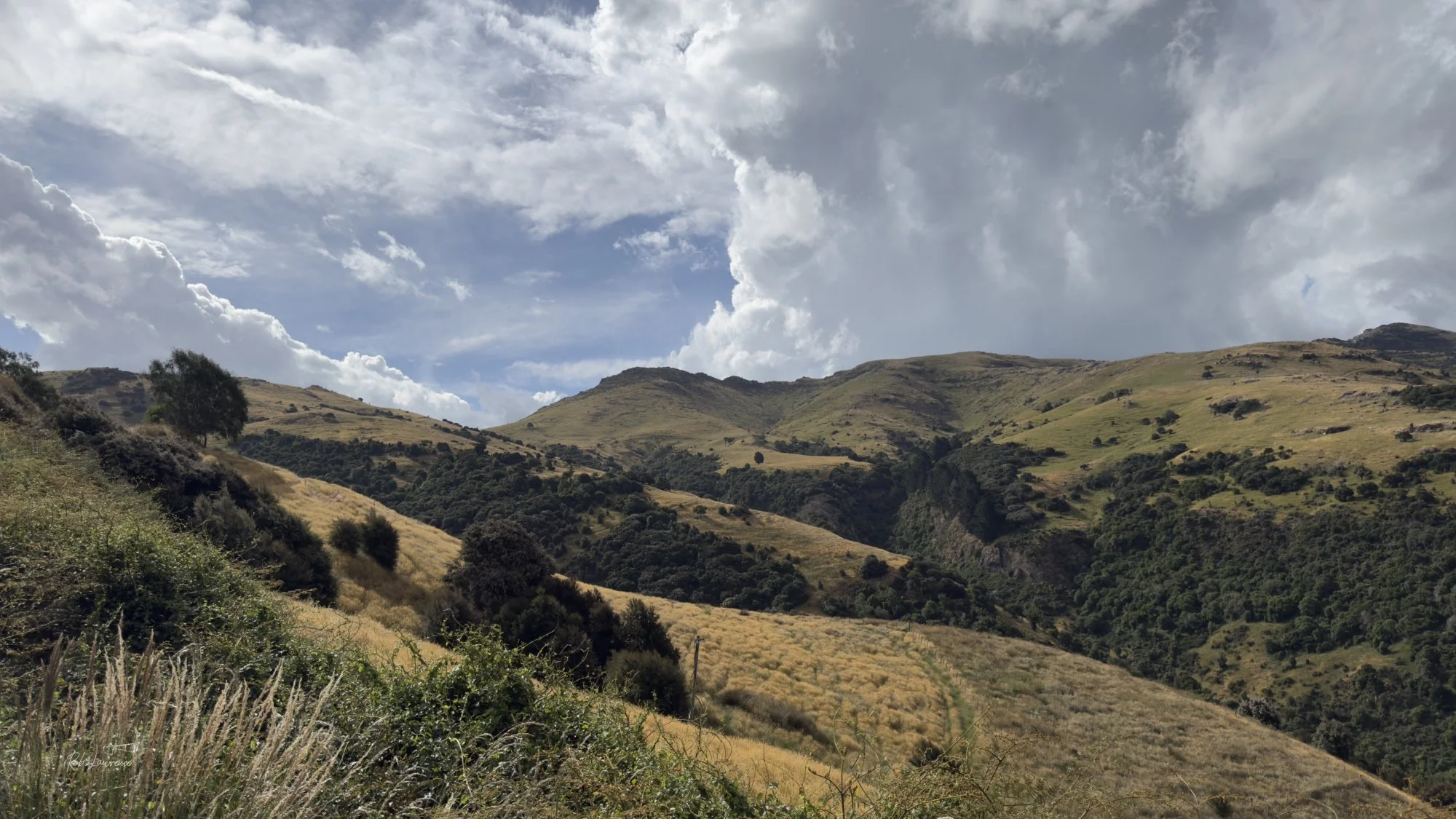
Bank Peninsula Road to Port Levy
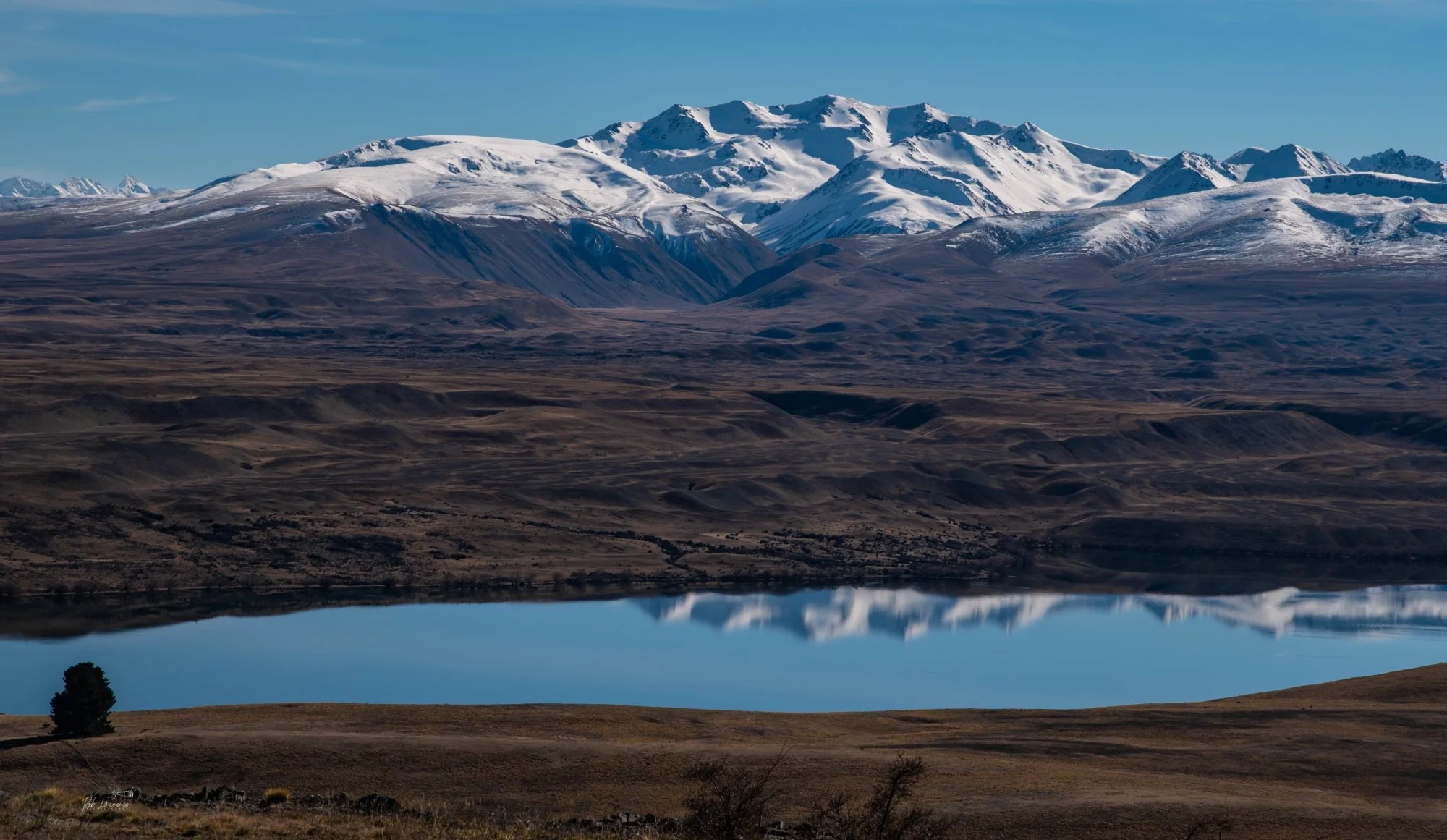
Central Otago near Otematata
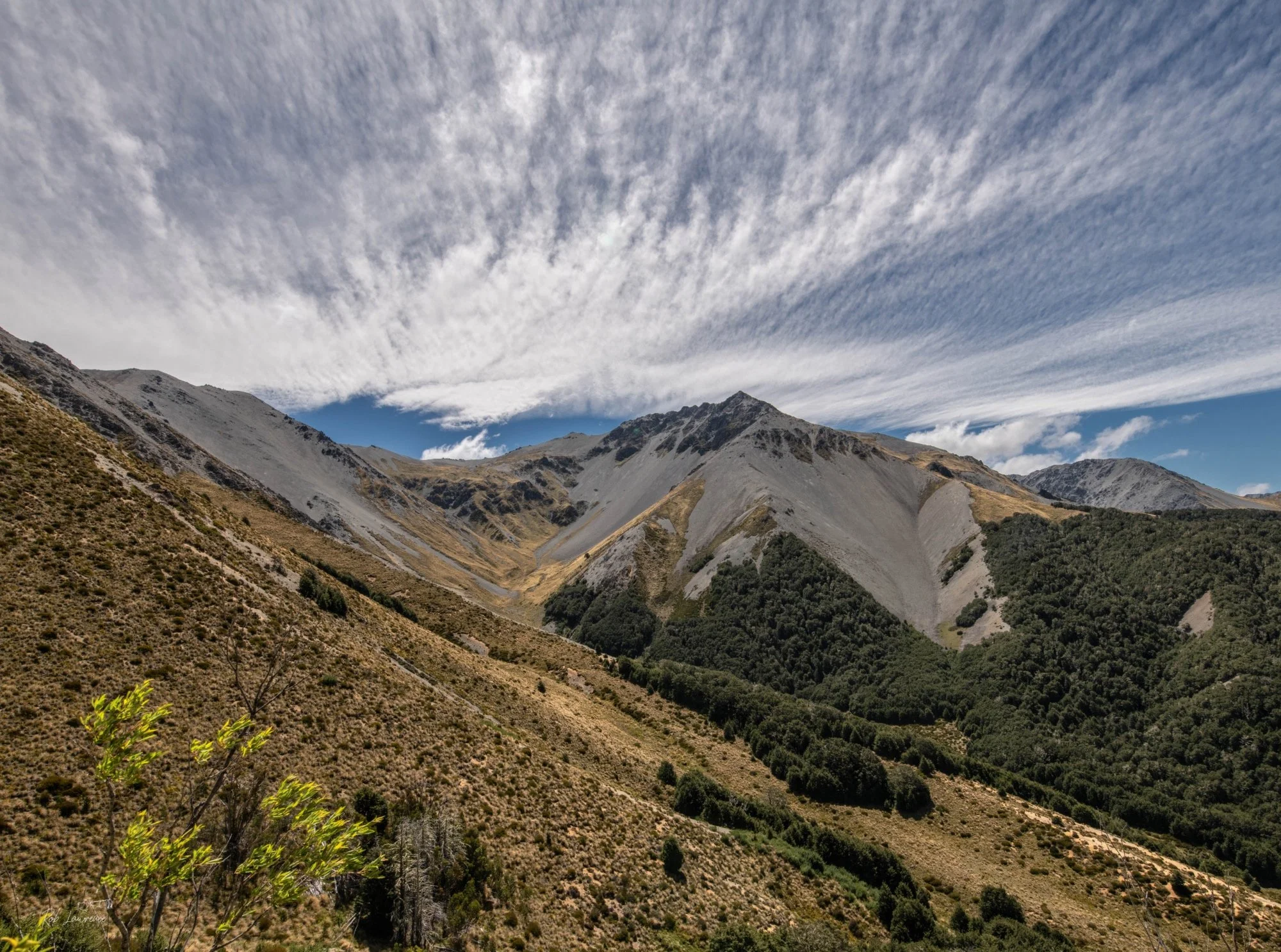
Mt Cheeseman Road amongst the Craigeburn Range
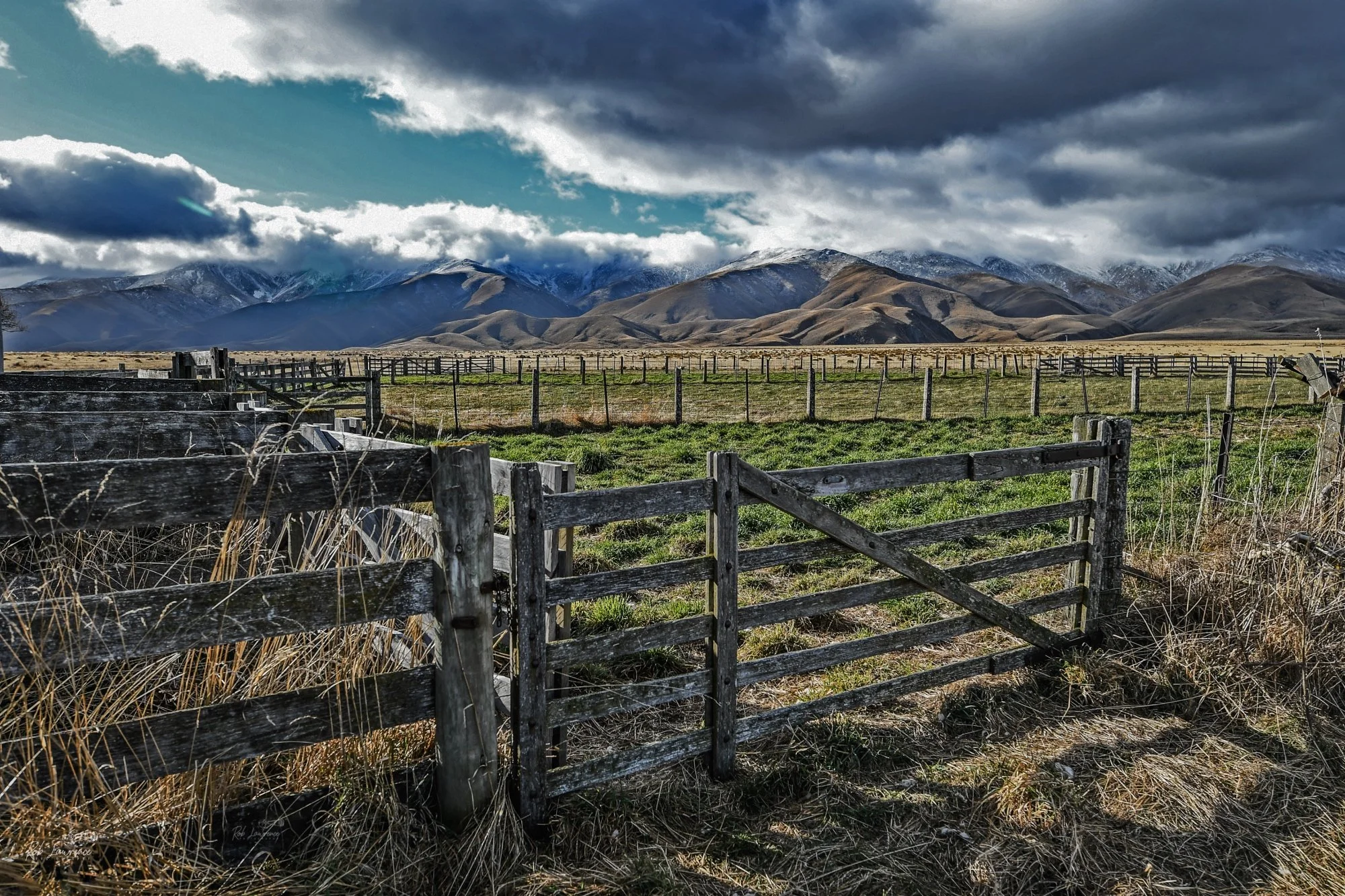
Gate on McKnights Farm Wedderburn Central Otago
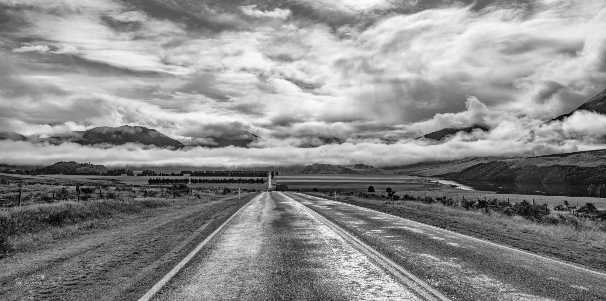
The Grassmere straight Hiway 73 This road covers over a terminal moraine from past glacier periods
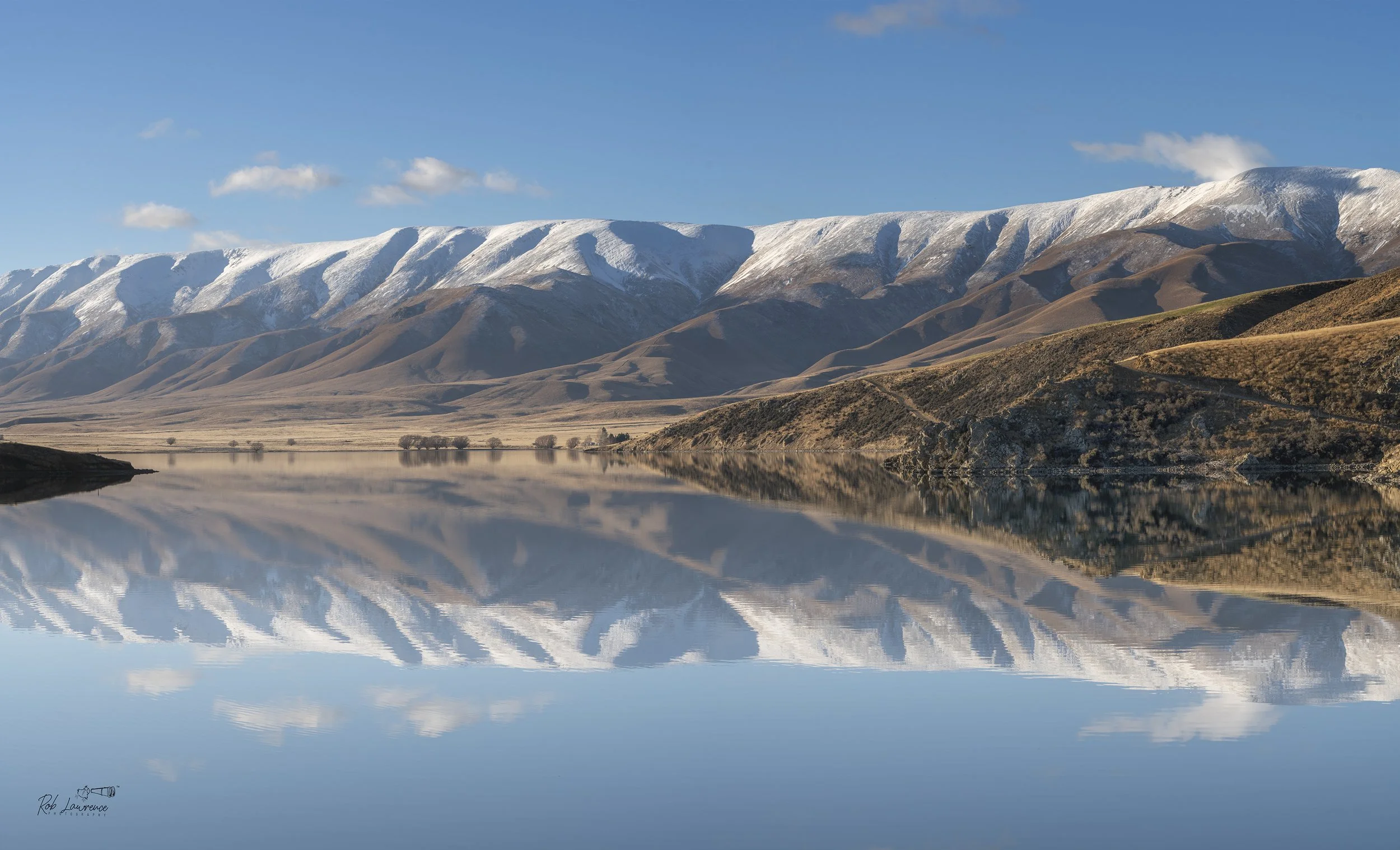
Hawkdun Ranges from the Falls Dam near Ranfurly Otago
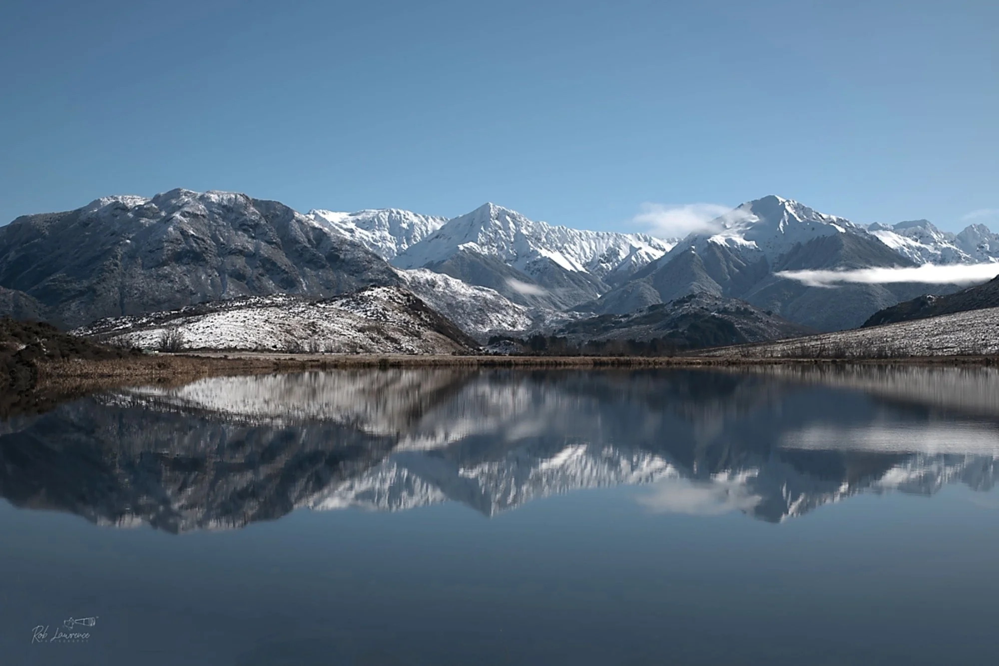
Lake Sarah near Cass Canterbury
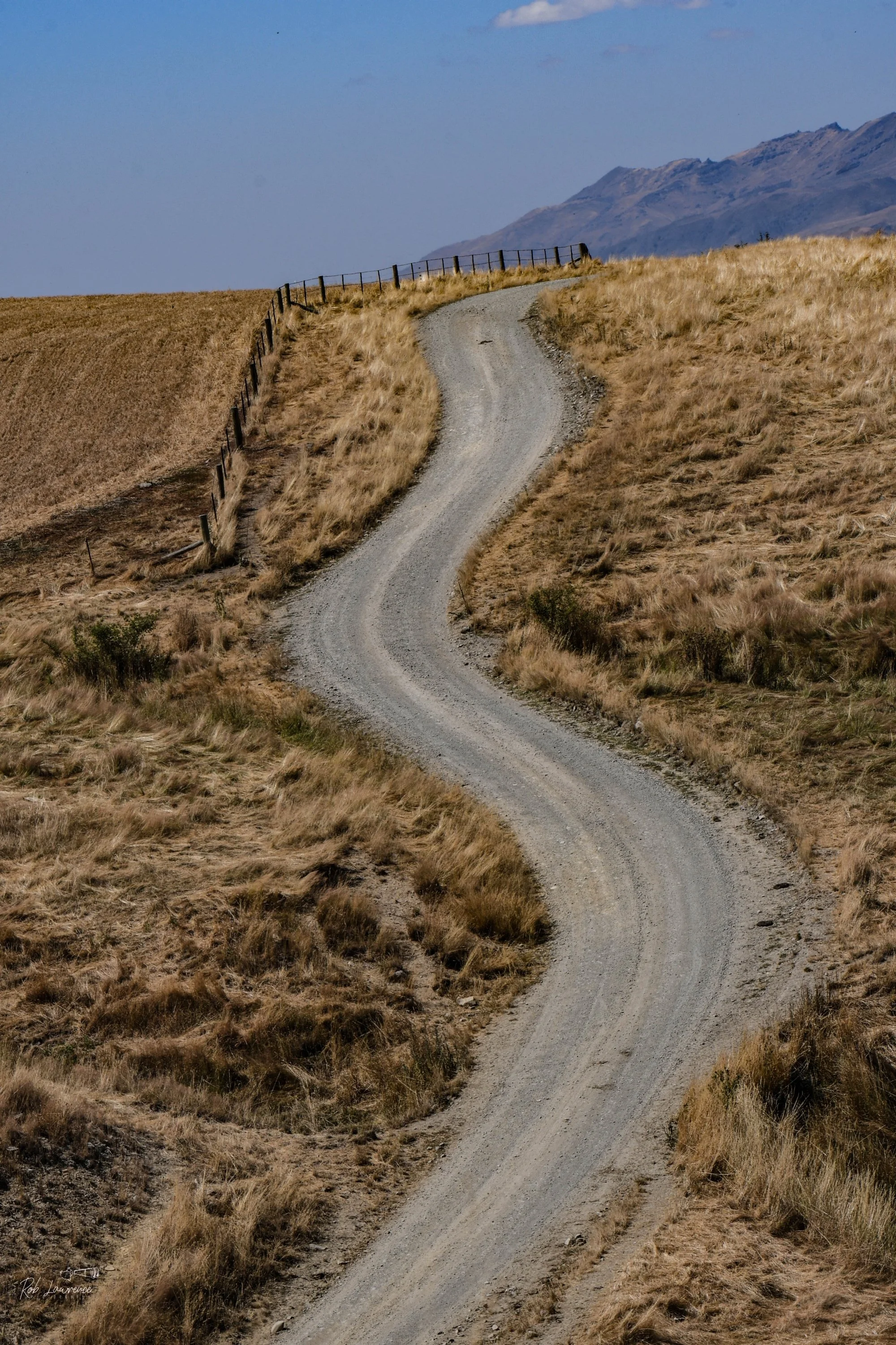
Molesworth road
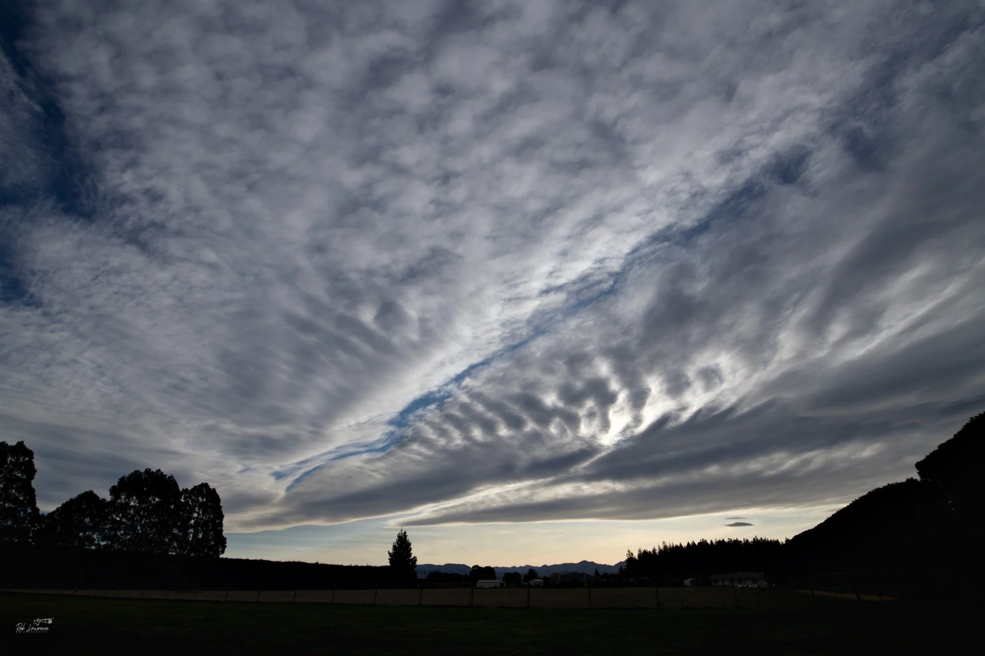
Nor'West cloud patterns Horndon Street Darfield
Tram Road near Kirwee Pot O' Wool
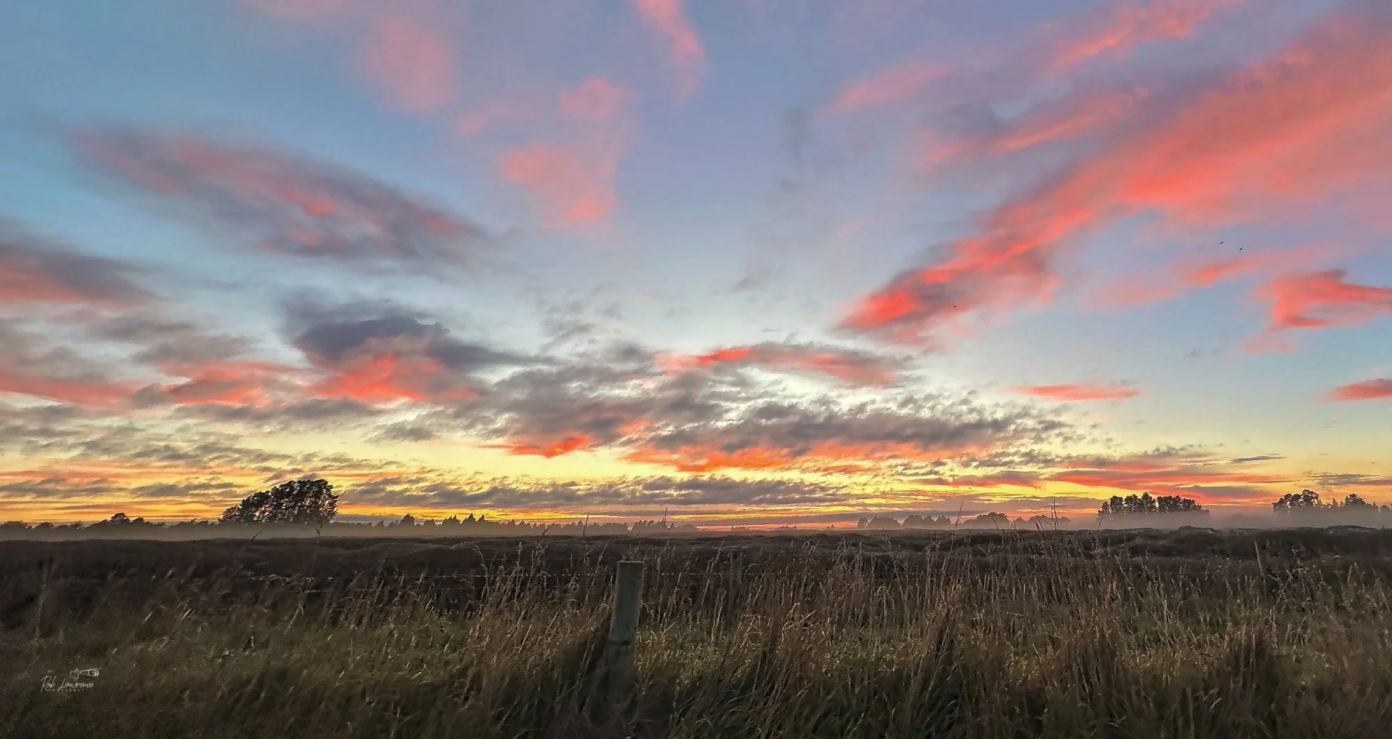
Early morning cooler from the west side of McHugh's Planation
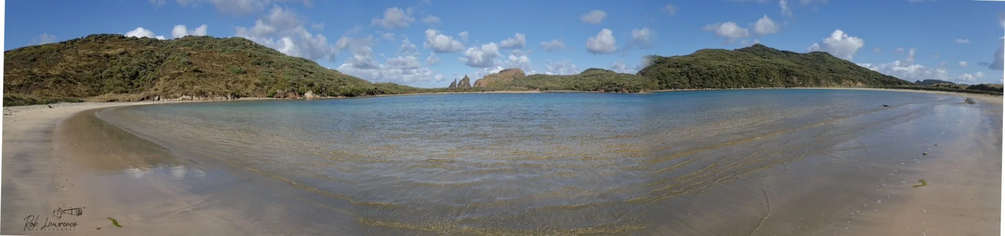
The Gutter Bay near Kilbride Stewart Island
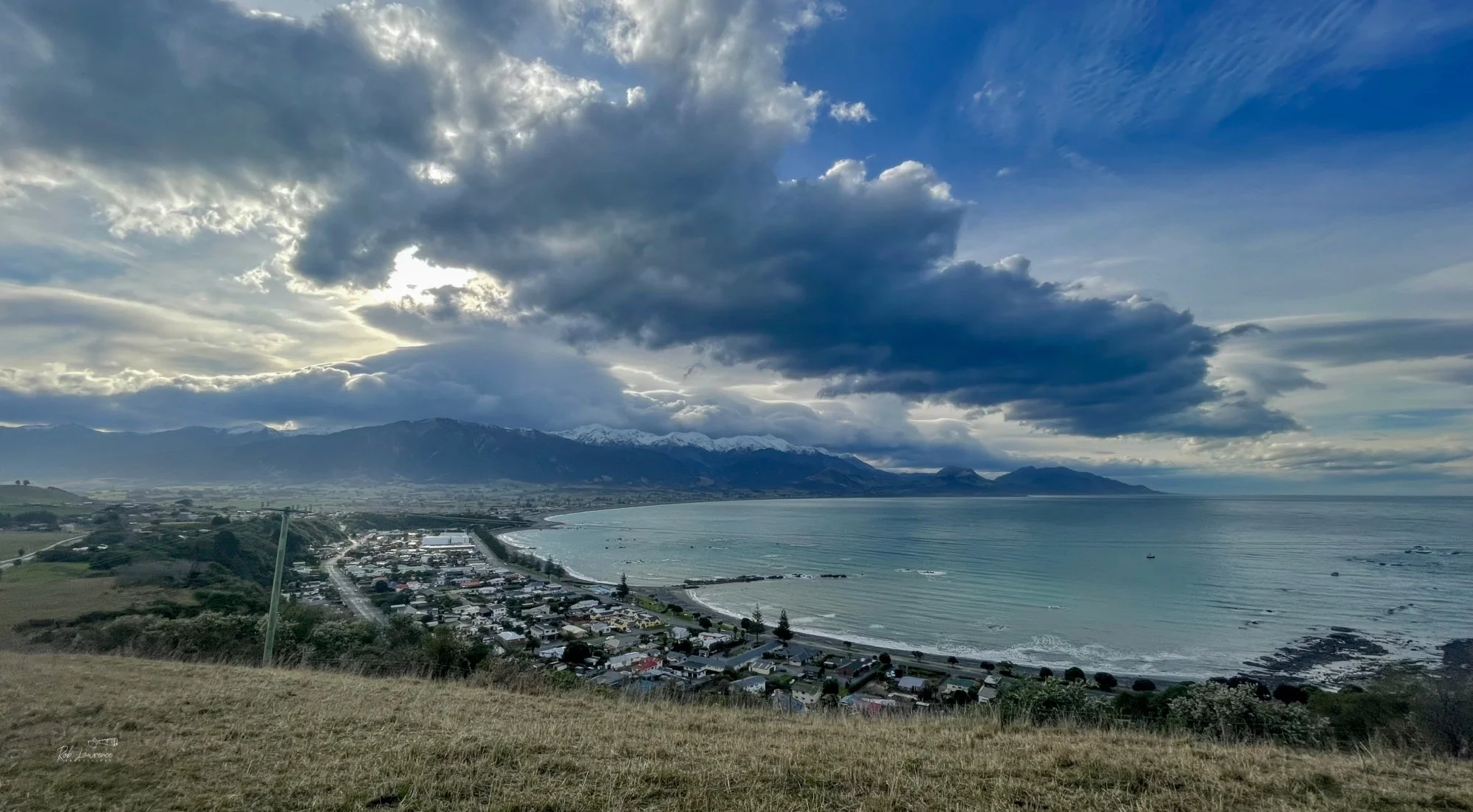
Over looking Kaikoura from watertower lookout
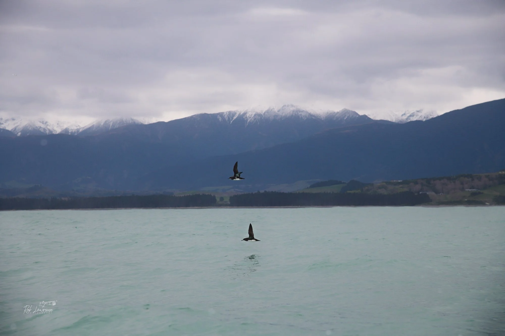
Hutton's Shearwater off the Kaikoura coast This bird is indigenous to this coast and under threat from predation
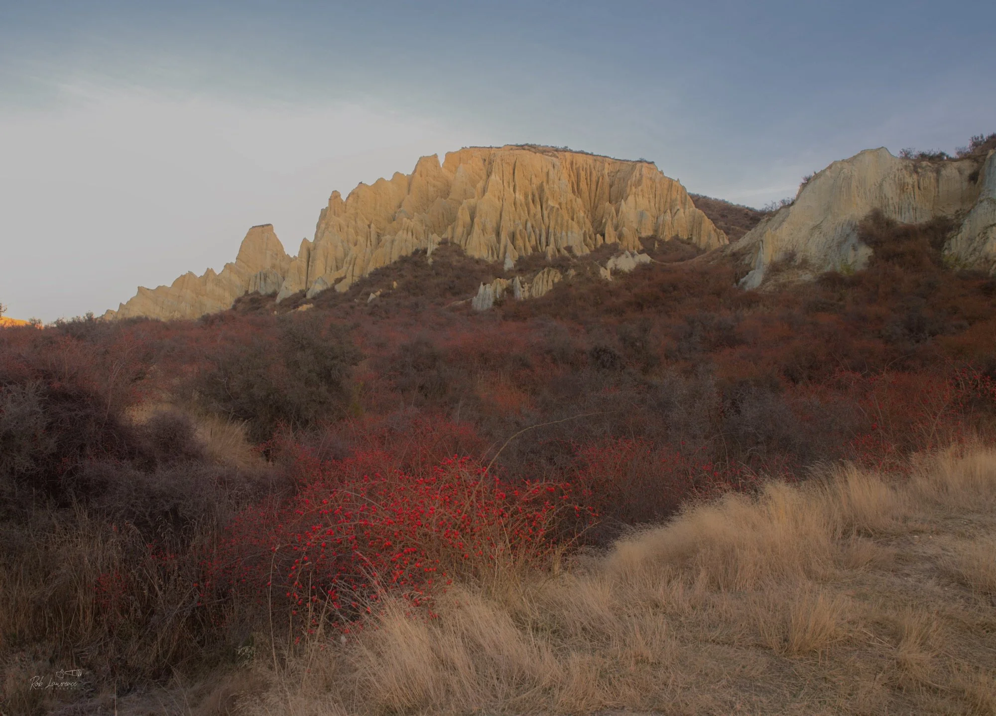
Red Rosehips in front of the Clay Cliffs Near Omarama
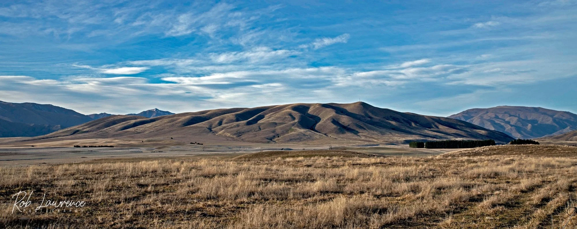
Otago Hills
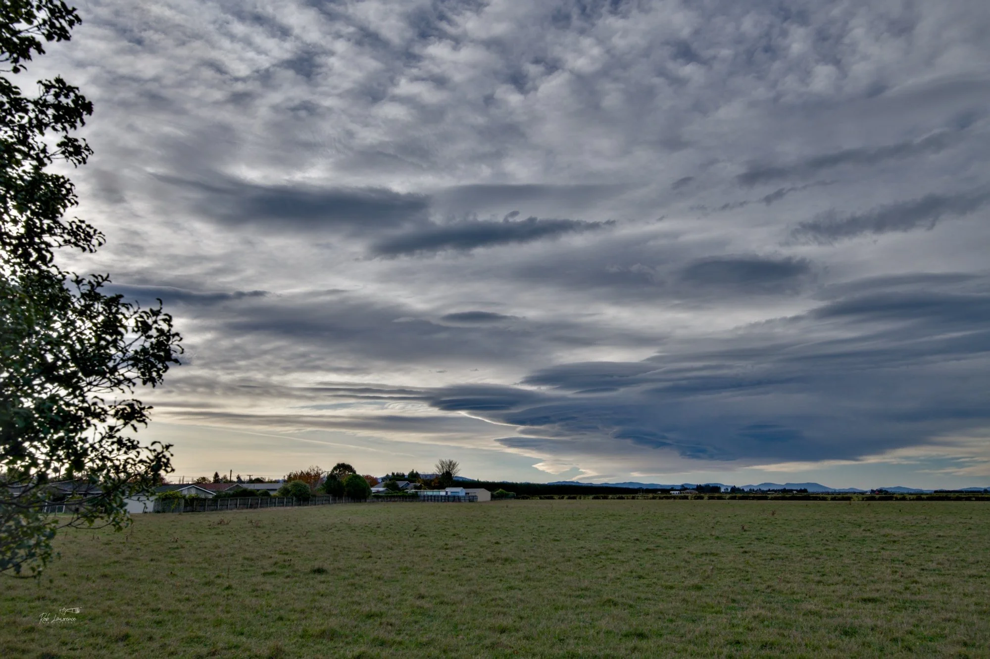
Lenticular Clouds winds swept Norwest
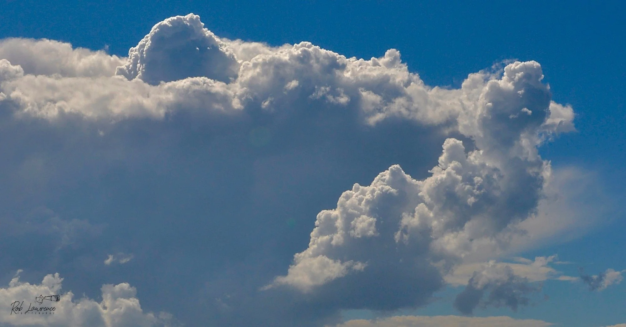
Puffy Cumulus Clouds
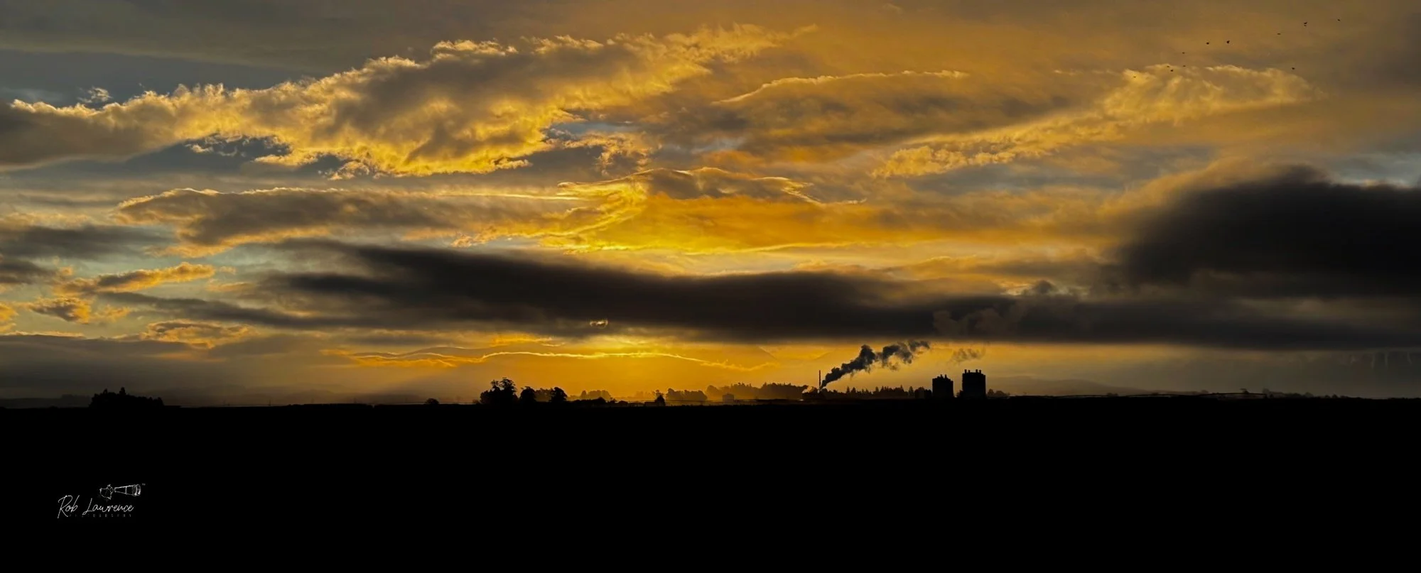
Looking west and the Fonterra Milk power plant Darfield
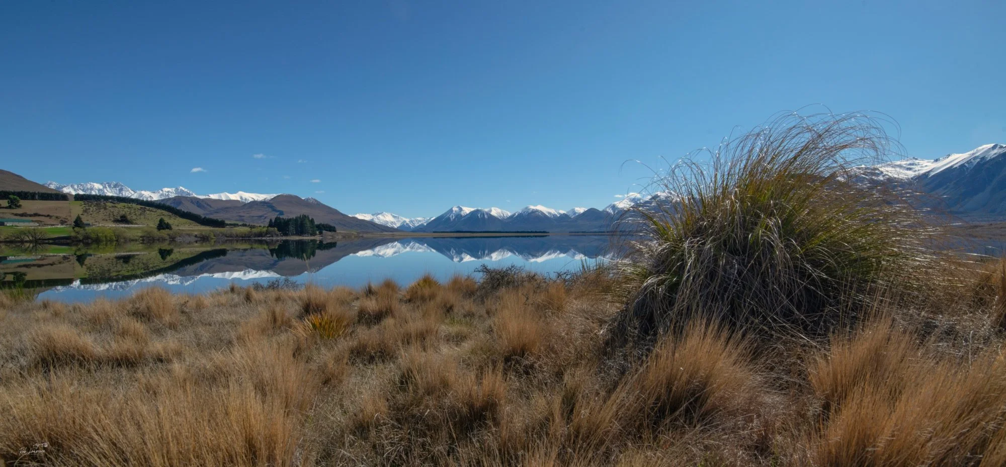
Tussock and Lake Heron Mid Canterbury
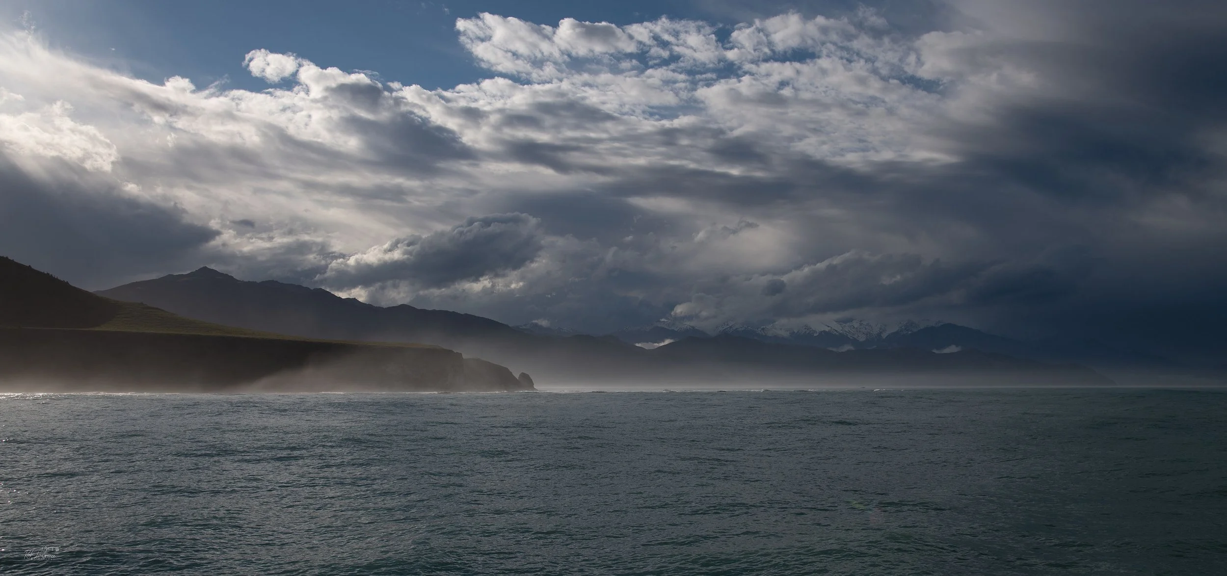
Off Shore south of South Bay Kaikoura
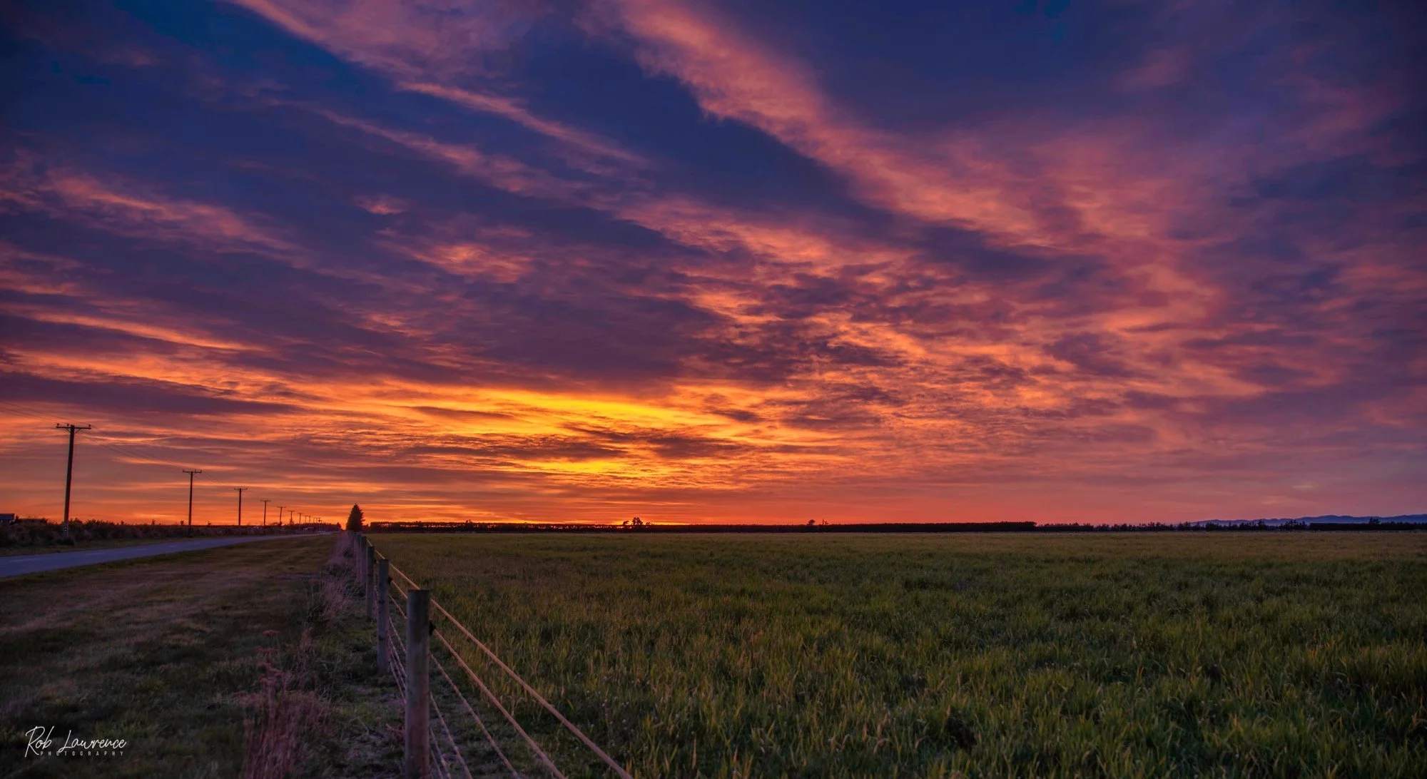
Kimberley Road sunrise
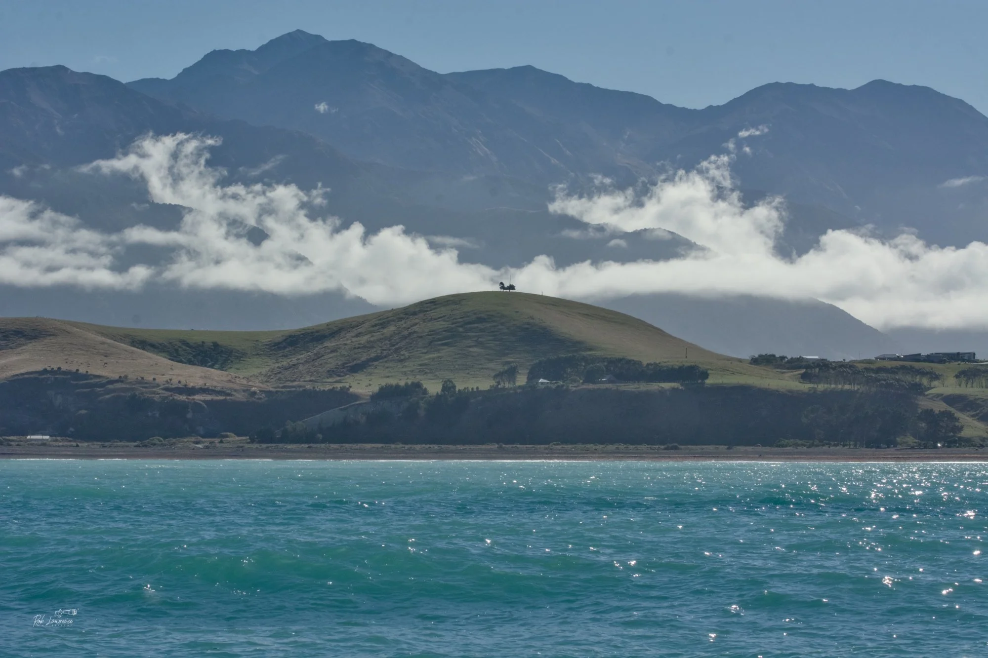
A one tree hill off South Bay
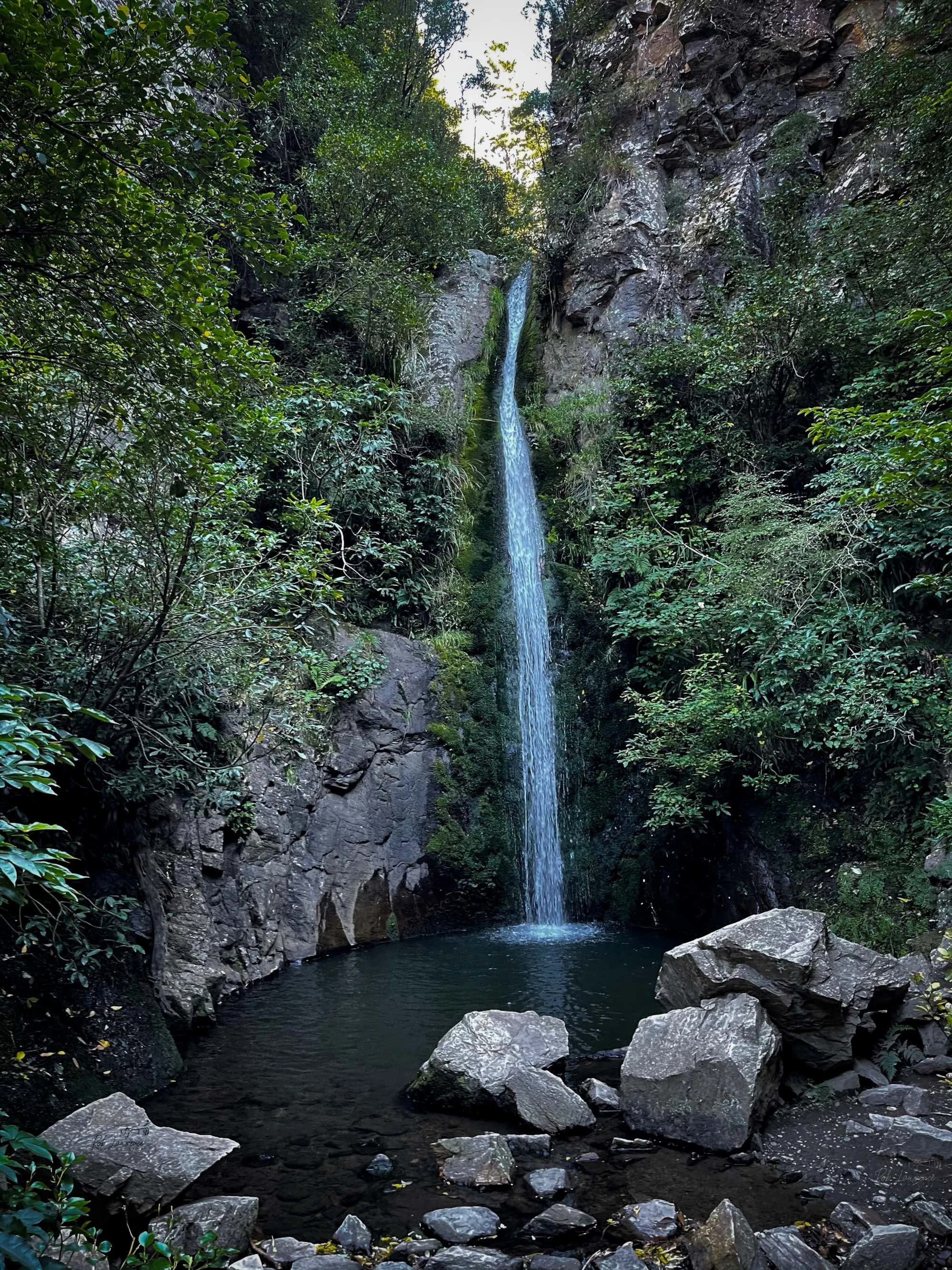
Washpen Falls a very interesting place to visit
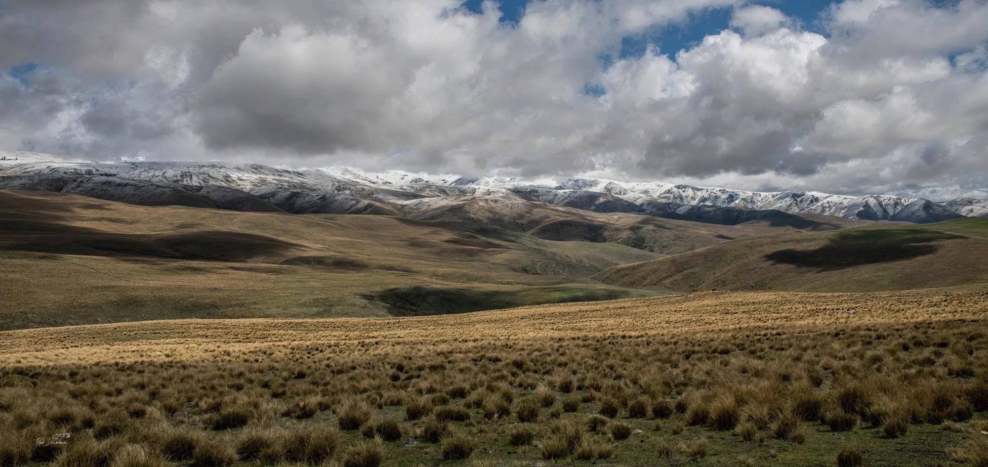
Otago hills Near Twizel
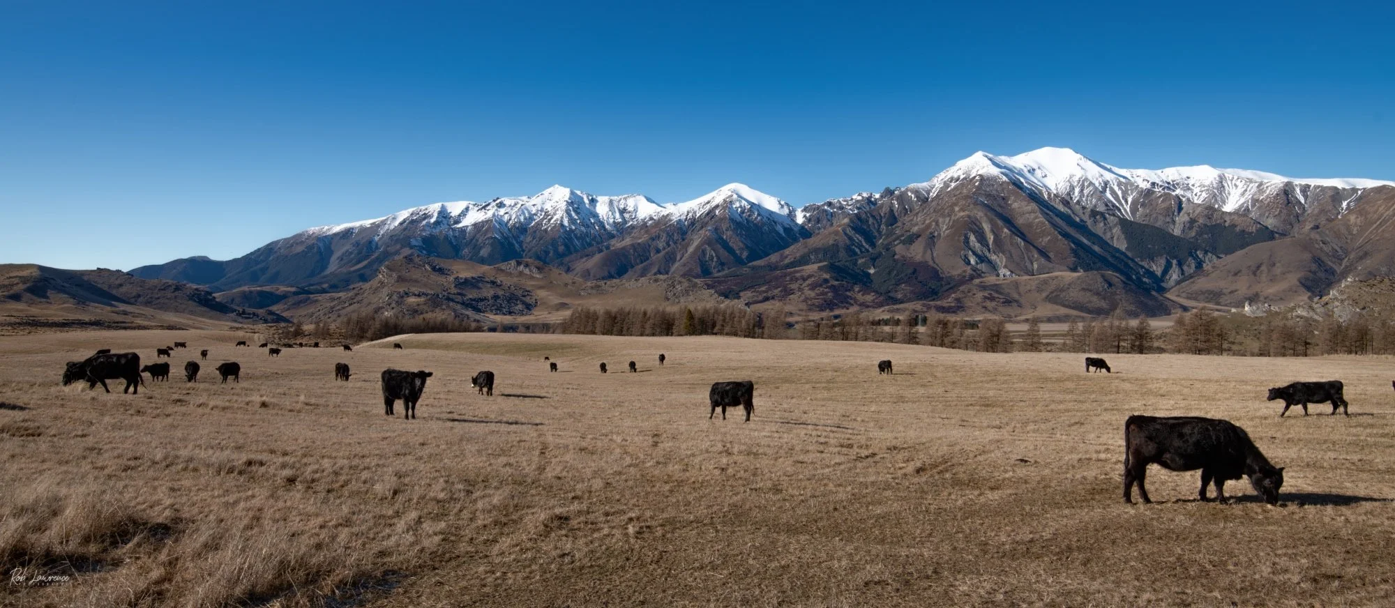
Castle Hill Station Stock with the Torlesse range in the background
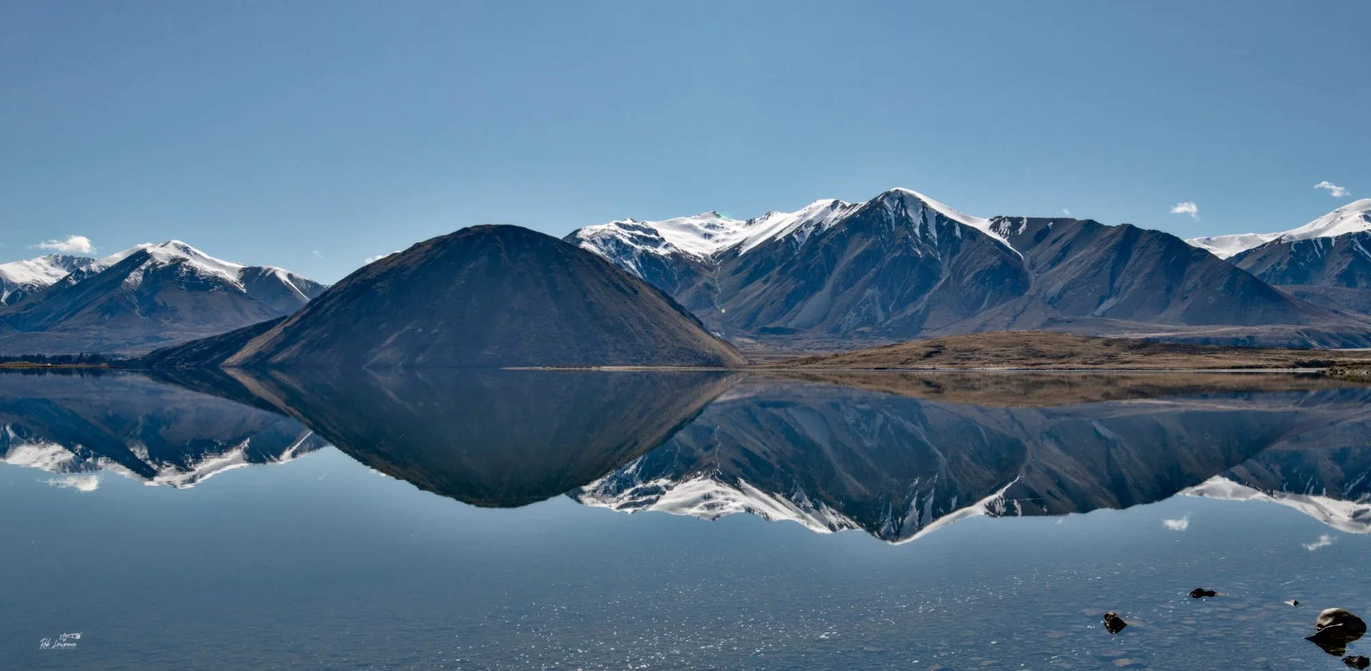
Lake Heron Reflections
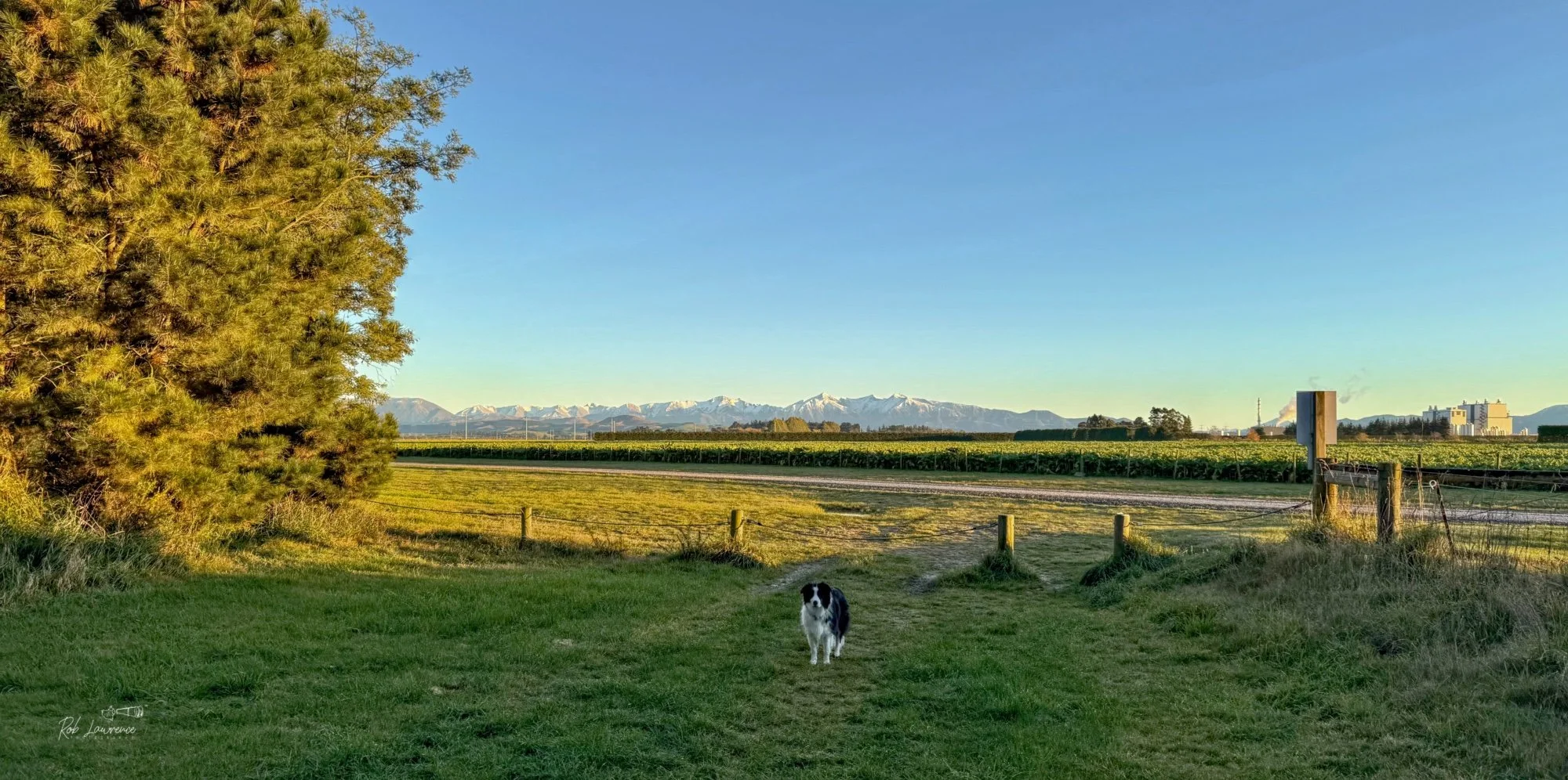
Bella at the end of the Forest Park west side walk with the Torlesse range in background
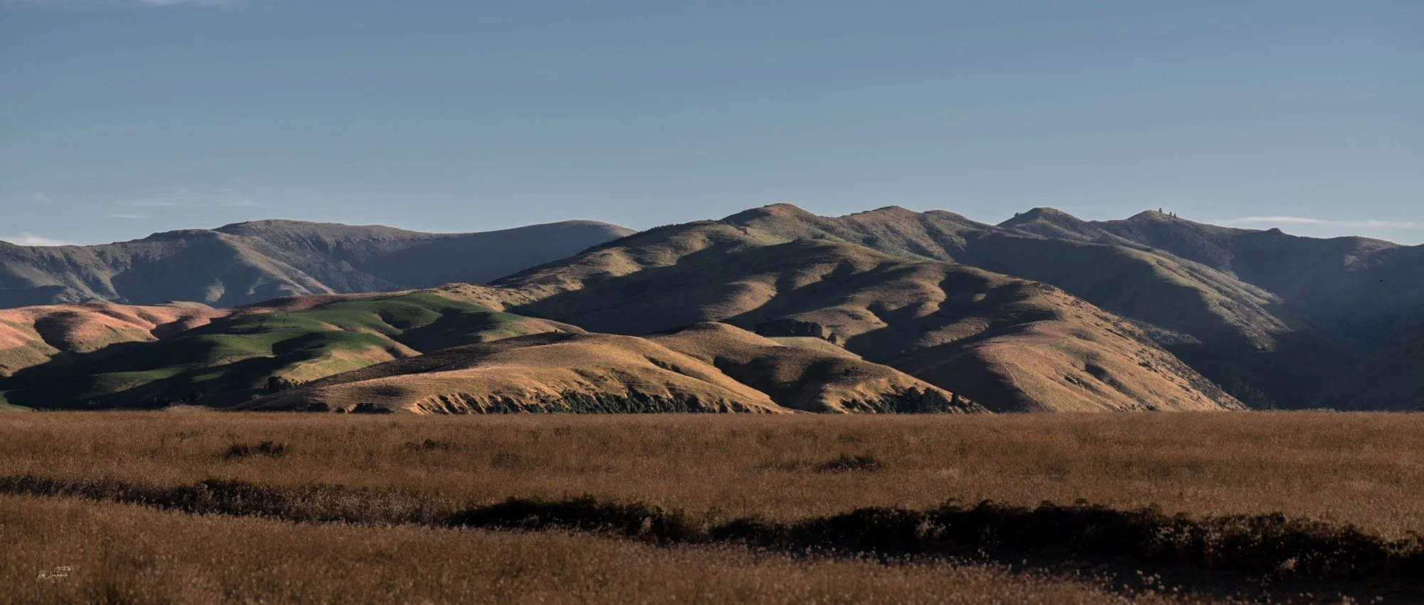
Port Hills from the east
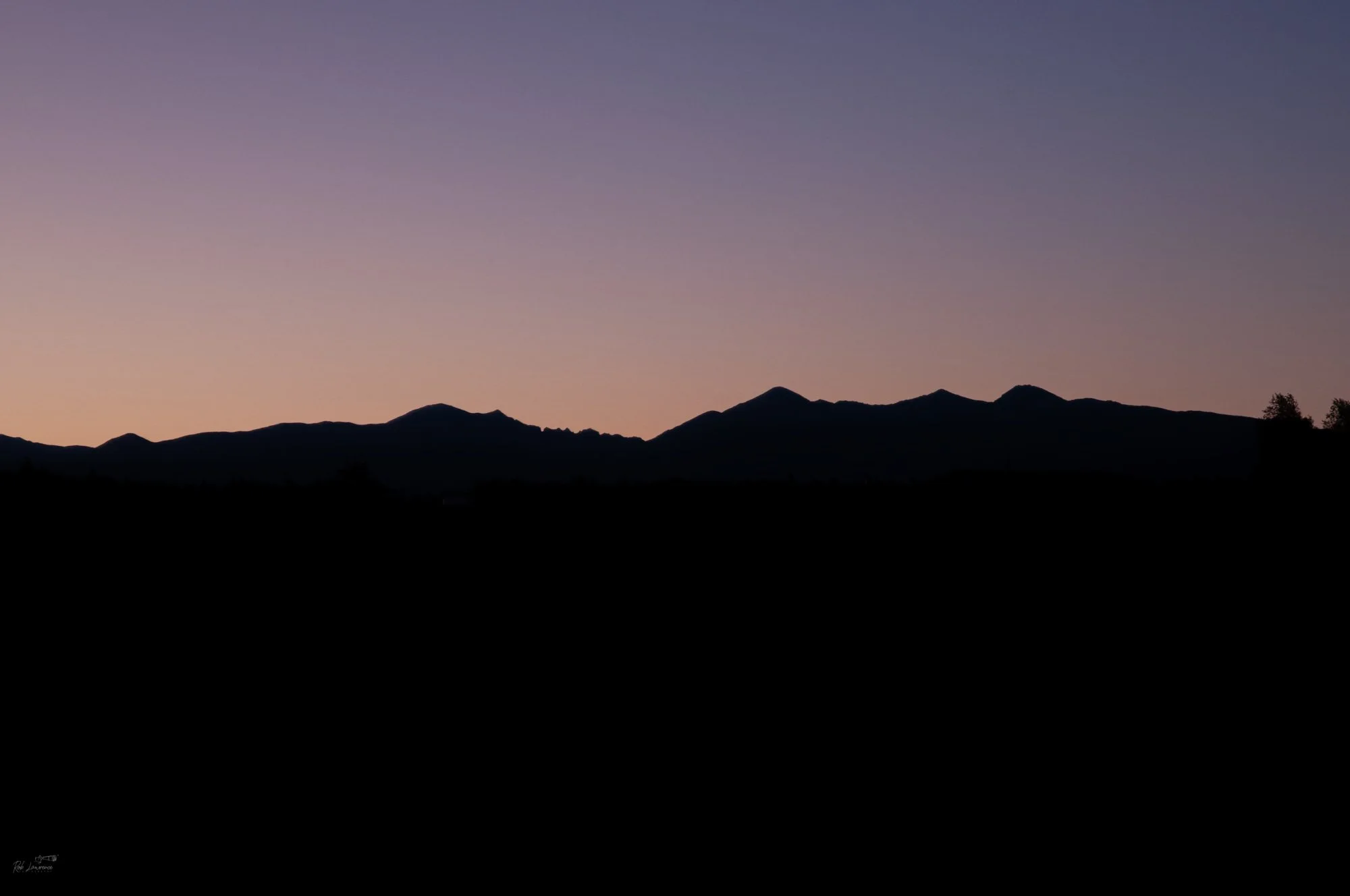
The silhouette of Sleeping Beauty (Torlesse Range ) The gap is her chin. Foggy peak is her forehead. the rest is up to you
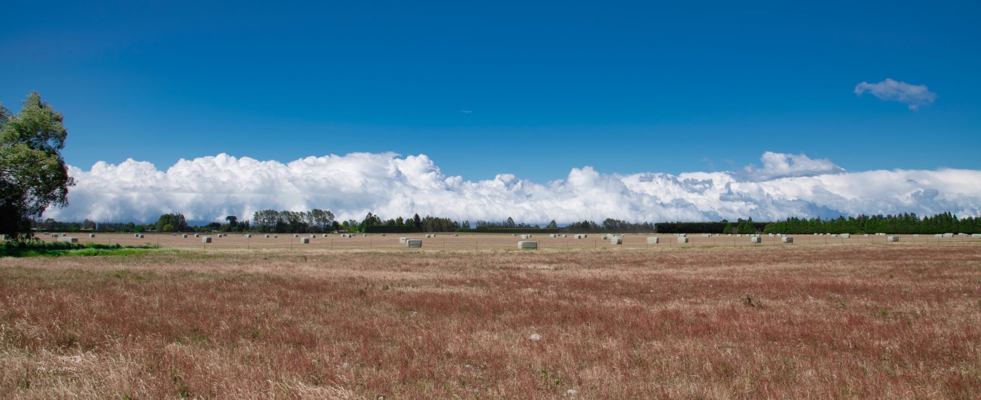
Another Southerly cold front roaring up
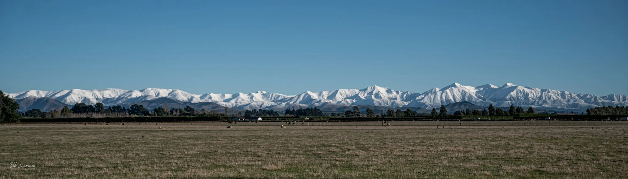
The Snow draped Torlesse Range in Panorama
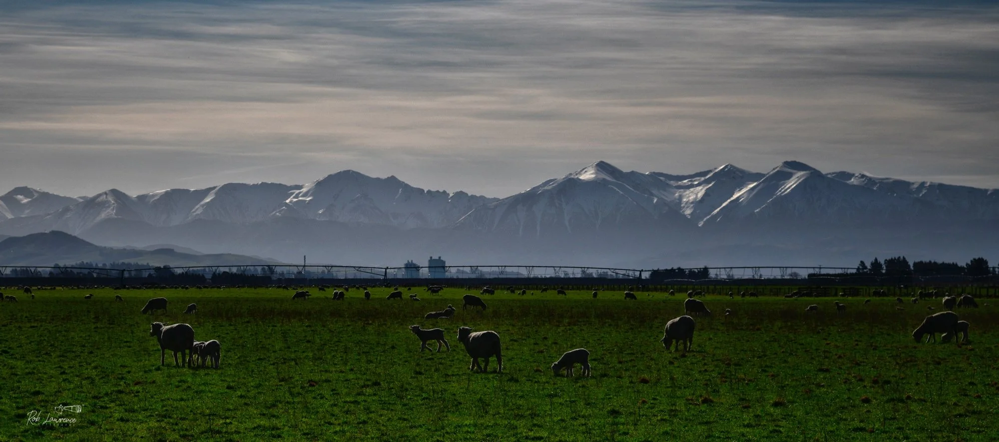
Torlesse Ranges with Sheep in foreground
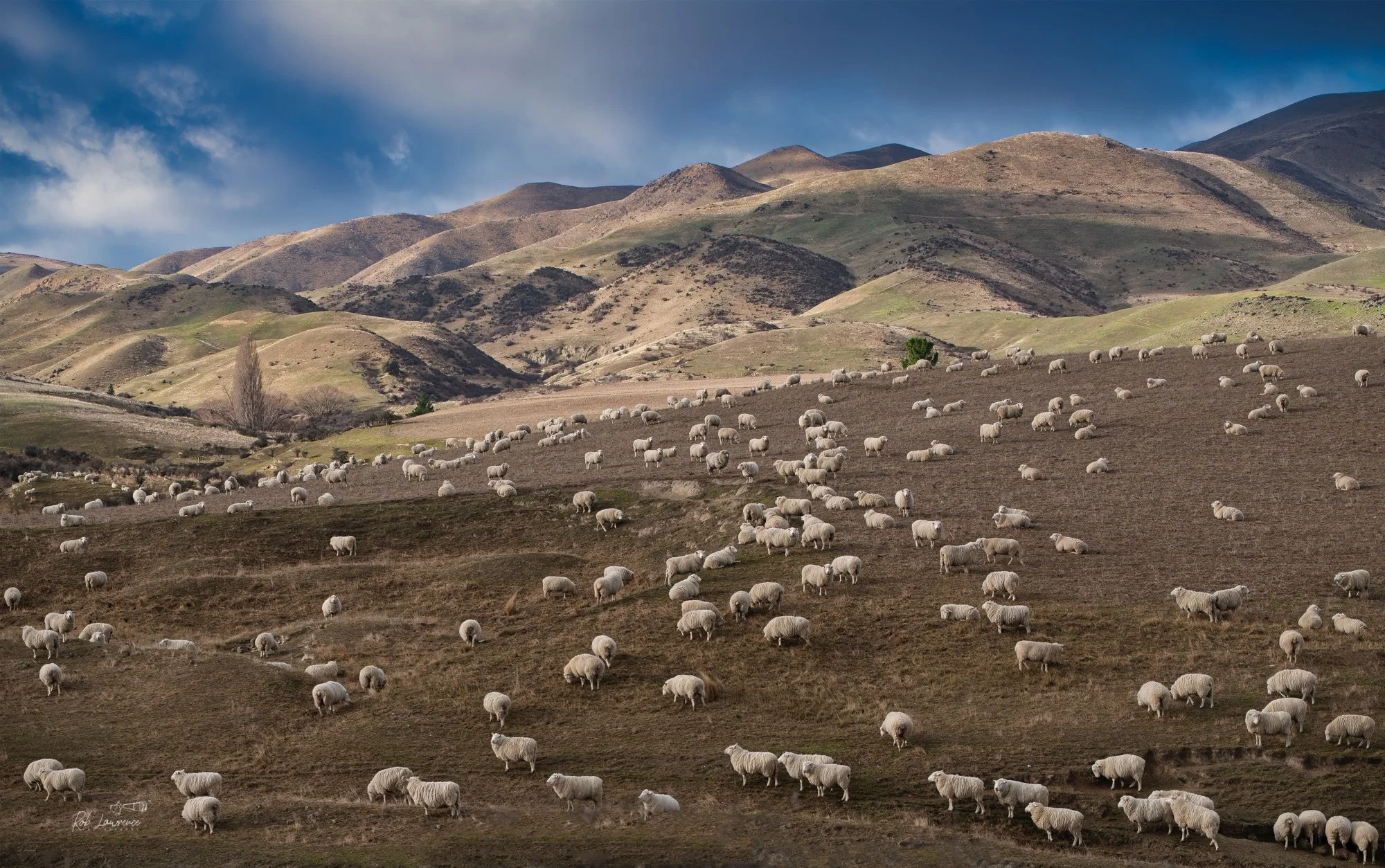
Hillside Merinos in Otago
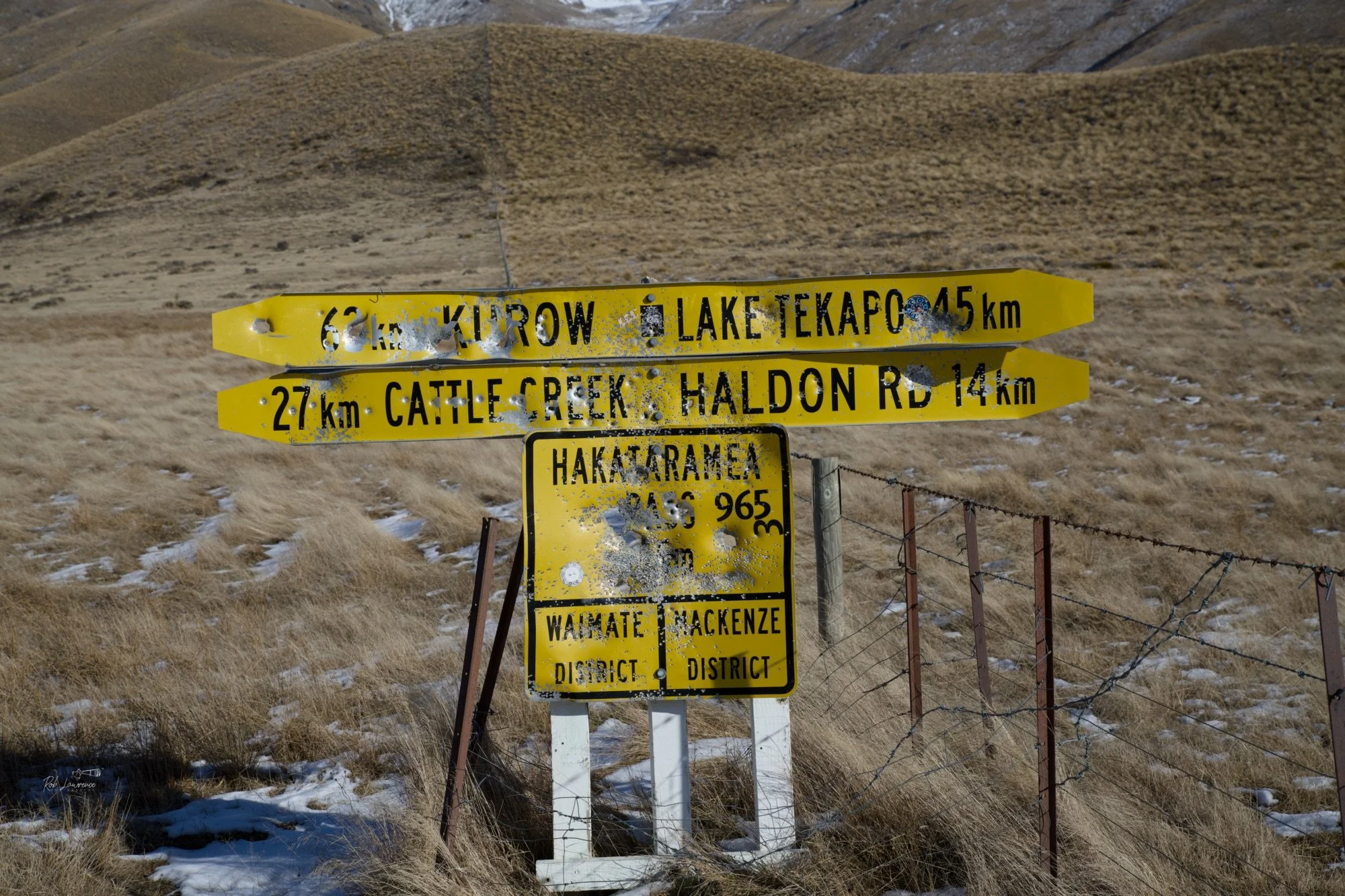
Hakataramea Pass Rising at the head of the Hakataramea Valley, Hakataramea Pass has served for centuries as a natural route between South Canterbury and the Mackenzie Basin. Long before European settlement, Māori travelled this route as part of an inland network linking important mahinga kai and access to the Aoraki/Mount Cook region. During the pastoral era, the pass became an important stock route connecting high-country stations and opening the interior to shepherds, musterers and early settlers. Today it is valued for its expansive alpine scenery and its rich cultural and pastoral history.
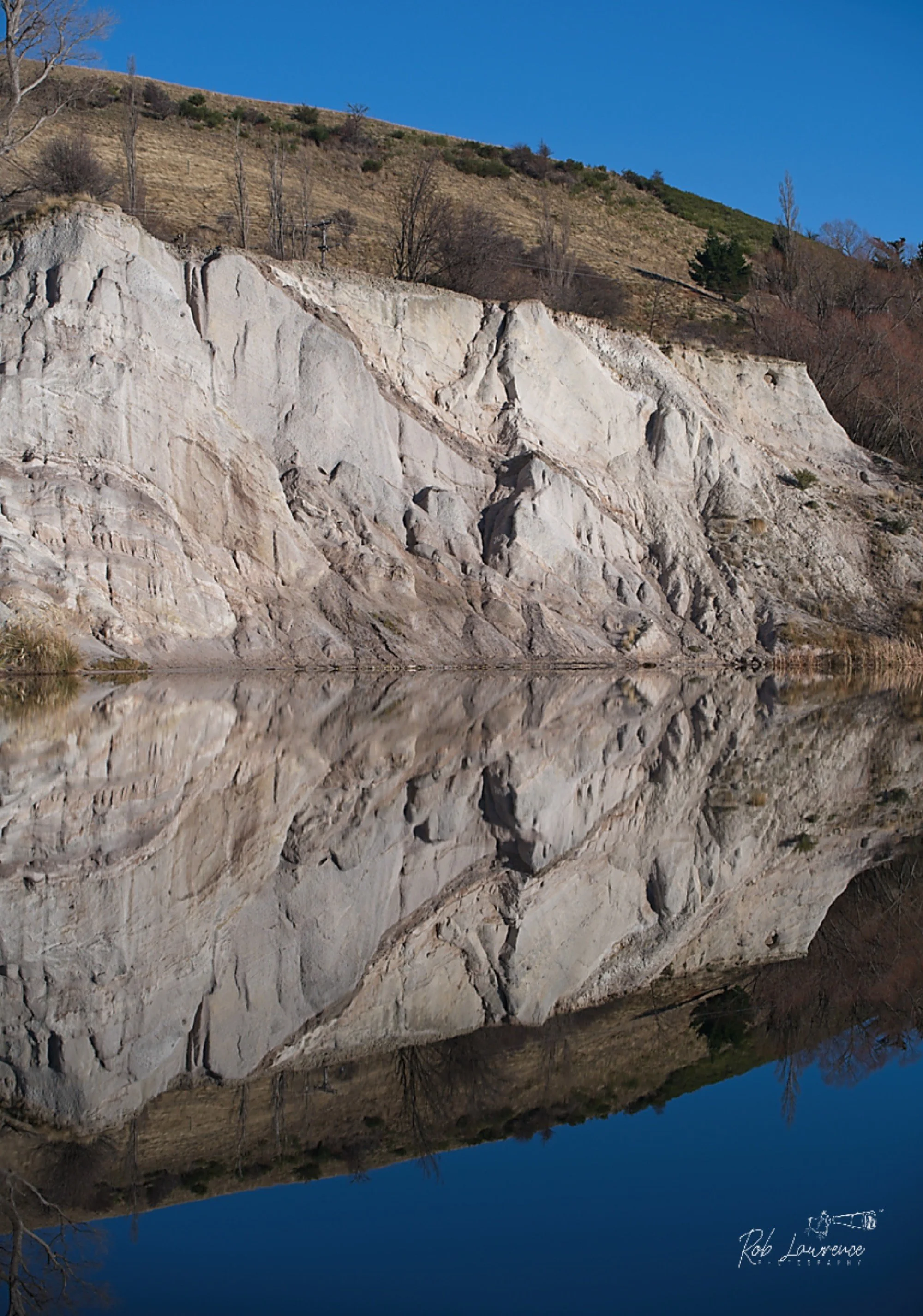
St Bathans, Central Otago Established in 1863 during the Otago Gold Rush, St Bathans (originally known as Dunstan Creek) rapidly grew into a bustling mining settlement, with a population of around 2,000 and as many as 13 hotels at its peak. Surveyor John Turnbull Thomson later renamed the township after Abbey St Bathans in Scotland. Hydraulic sluicing transformed the landscape, removing the 120-metre-high Kildare Hill and leaving behind the spectacular Blue Lake, whose vivid turquoise colour comes from mineral-rich water filling the old mining pit. Mining continued until 1932–34, when operations ceased because they threatened to undermine the township.
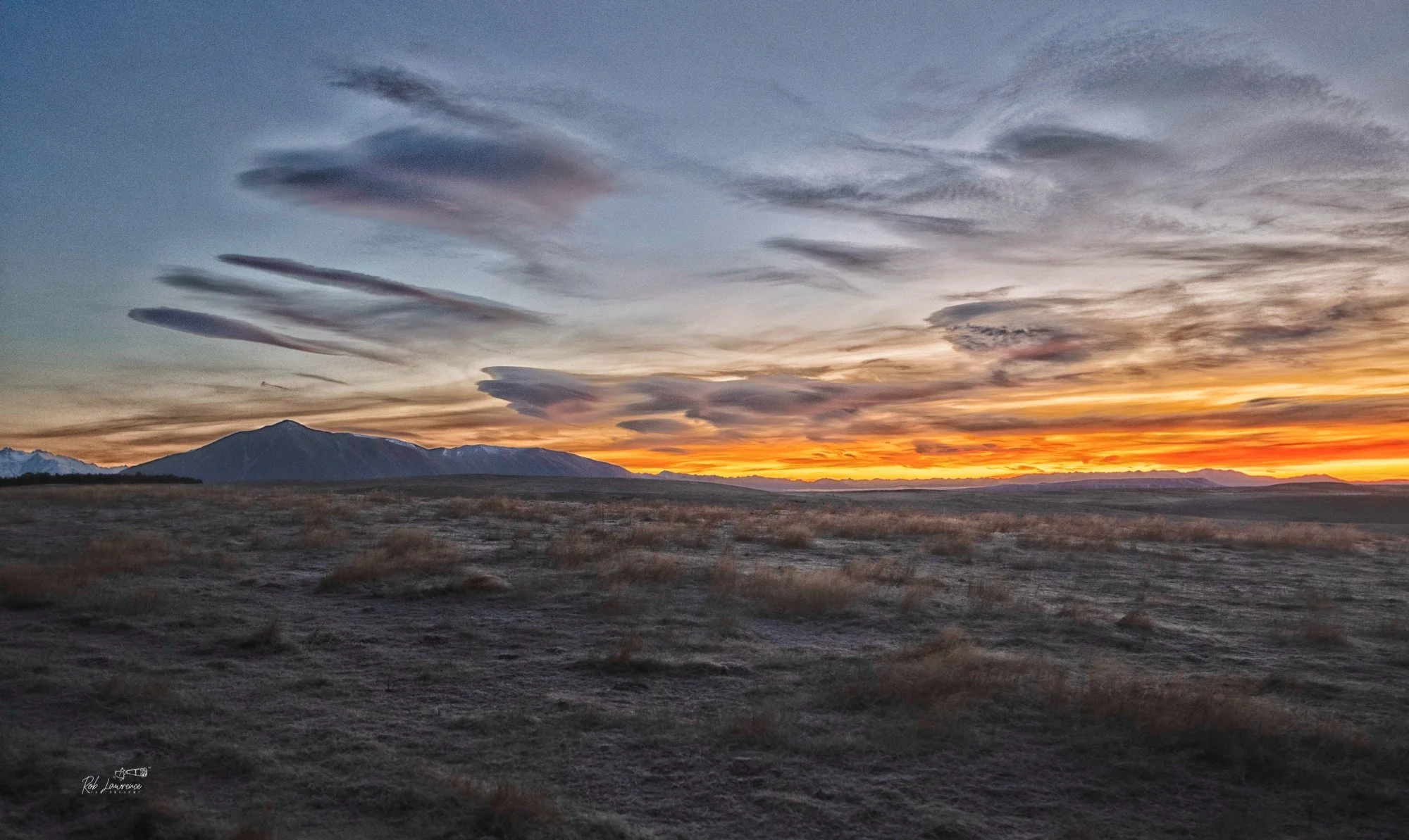
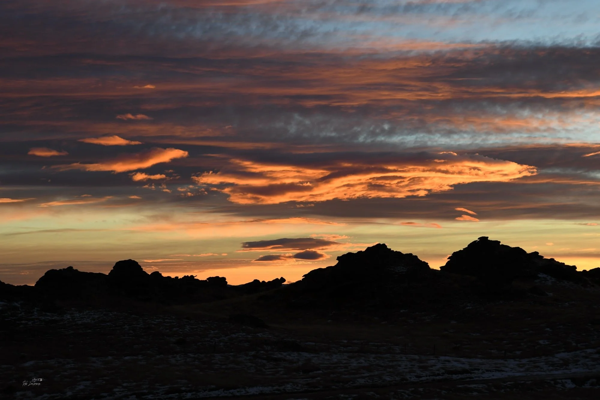
New Zealand has stunning sunset colours graced by ever changing cloud formations, who in turn are sculpted by the wind and weather High whispy clouds shown here are lenticular cloud indication strong The sunset is south of Twizel
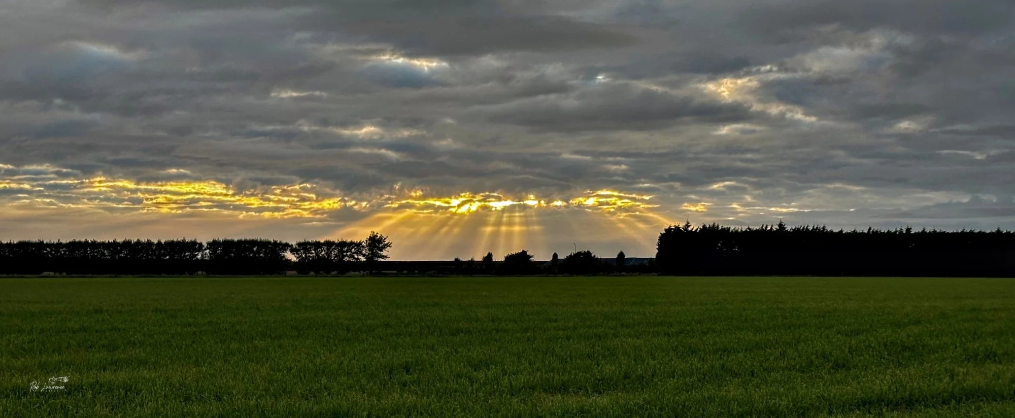
Sun Rays from North Side of the McHughs Forest Park
The first light of morning settles gently across Poolburn Reservoir, where the still waters reflect the weathered tors and rolling hills of Central Otago. Created to store water for irrigation, the reservoir has become far more than an engineering project. It is a place where the rugged beauty of the high country meets quiet purpose, and where moments of perfect calm reveal a landscape shaped by both nature and human endeavour.
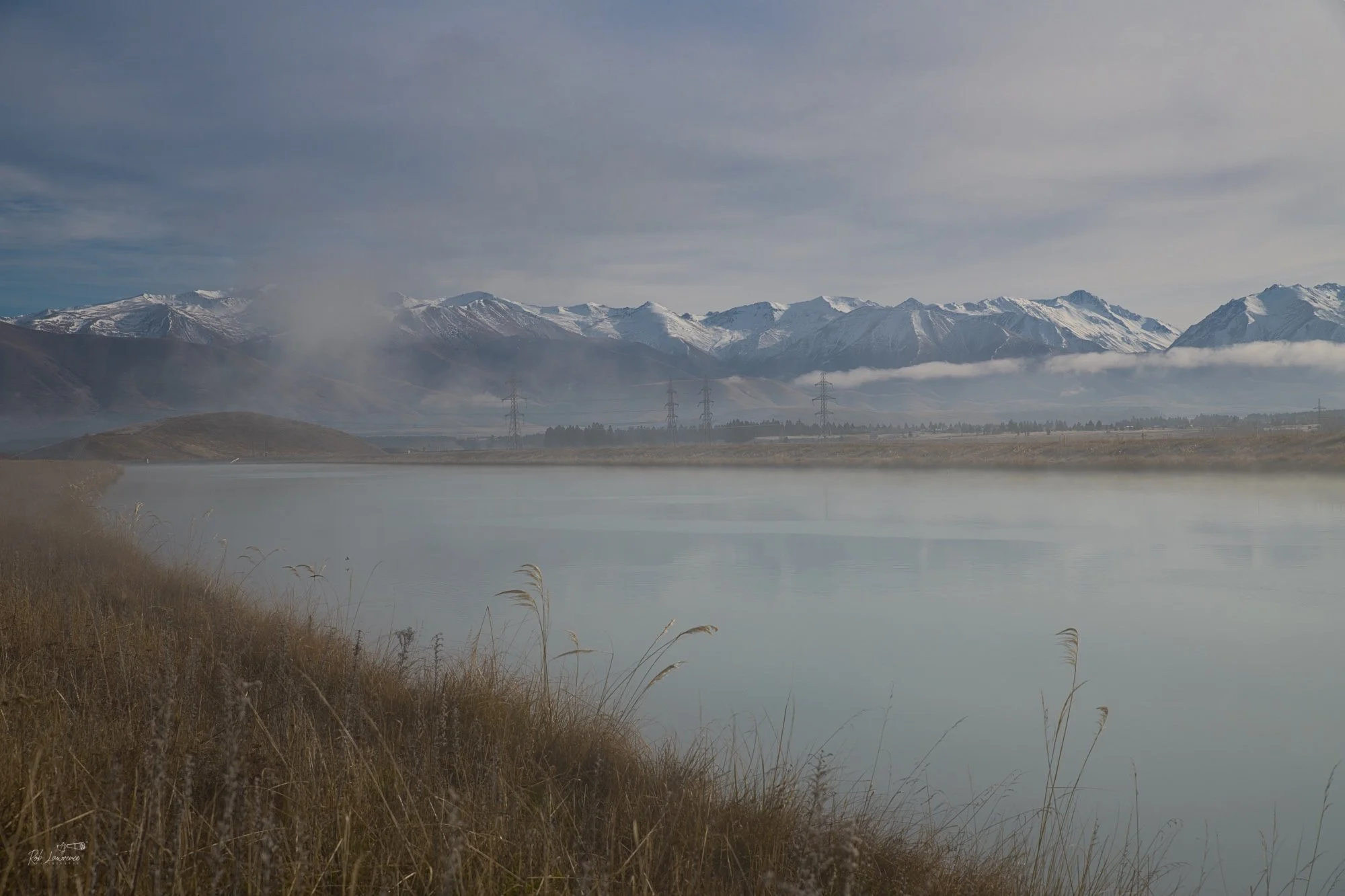
Morning Silence The early morning mist drifts across the Benmore Canal, with the Benmore Range rising quietly in the background. There is a peaceful serenity as the mist glides over the glacial waters, while the first light of day reaches the Mackenzie Basin. Built to harness the power of New Zealand's alpine rivers, the canal has become more than an engineering achievement. In moments like this, it settles gently into the landscape, reflecting the mountains that gave it life. Here, nature and human endeavour exist in quiet harmony, and the stillness of dawn reminds us that even places shaped by industry can possess remarkable beauty. reflecting the mountains that gave it life.
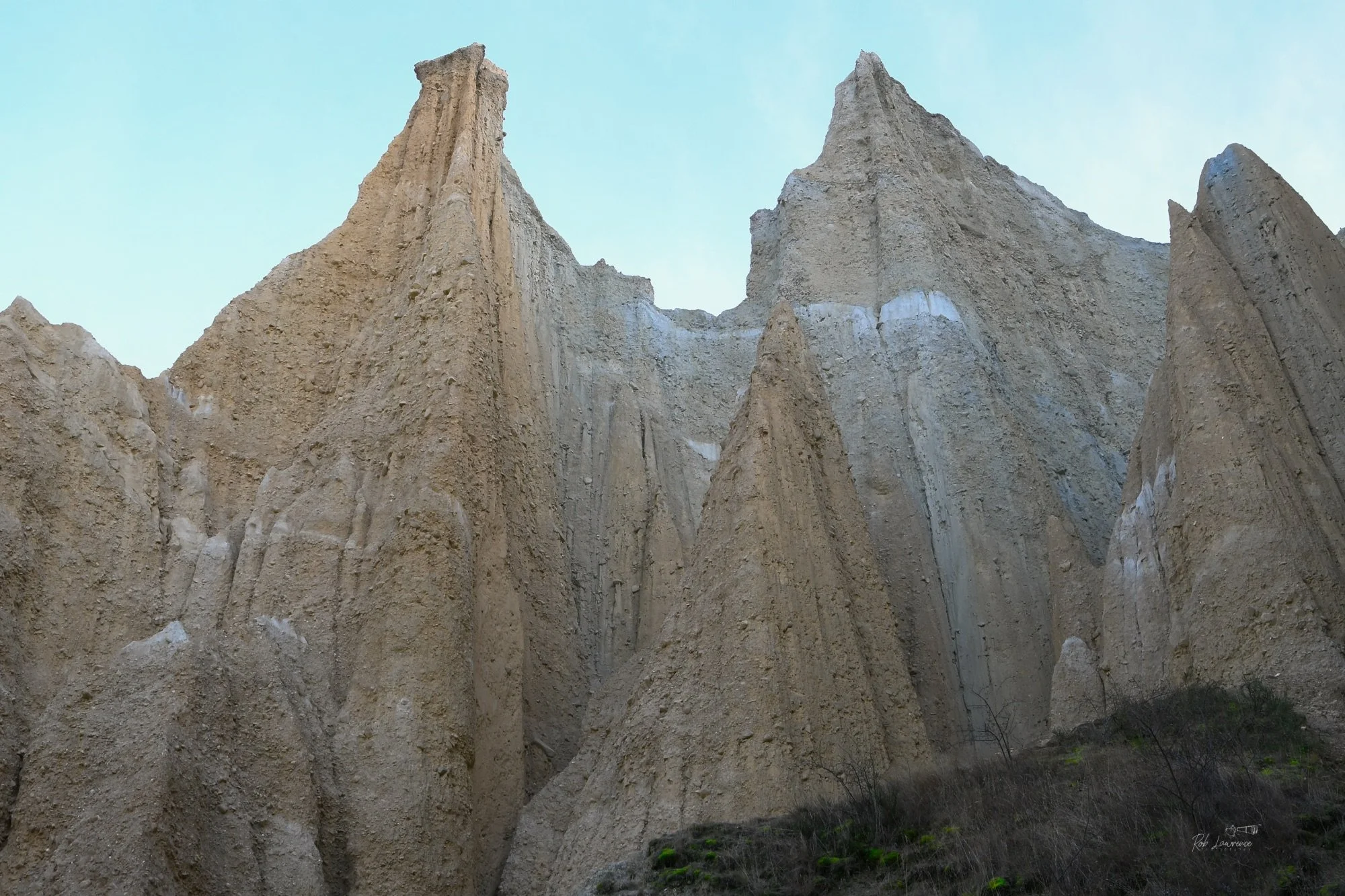
The Clay Cliffs near Ōmārama are one of New Zealand's most remarkable geological landscapes. They form a maze of towering pinnacles, razor-sharp ridges, and narrow ravines that feel almost otherworldly. It is sobering to enter the catherdal like halls at centre the cliffs. They are composed of layers of silt, sand, and gravel laid down by ancient rivers and glacial systems years ago. These sediments were later uplifted and tilted by movement along the active Ostler Fault. Wind and rain have slowly carved the soft deposits into the spectacular "badlands" landscape seen today. The erosion has been occurring for roughly the last two million years
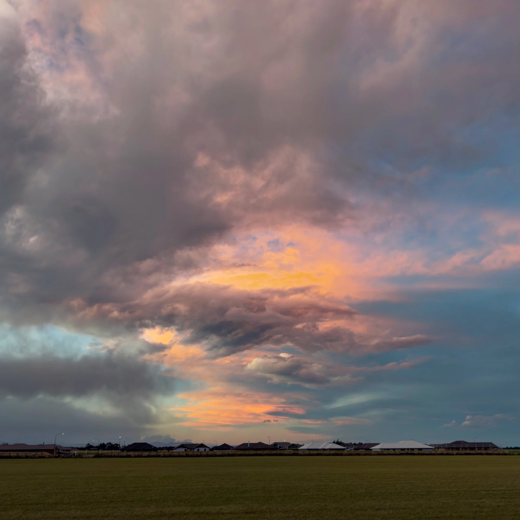
Another Amazing Cloud This photograph was taken from my backyard in Darfield. I spotted this spectacular cloud while driving home from a quick trip to the shops. Knowing the colours would fade quickly, I hurried home and rushed to the back fence with my camera. By the time I was in position, I had caught only the tail end of the display. The grey cloud in the lower left is a low bank of evening mist. Five to seven minutes earlier, the orange glow had been far more extensive, with brilliant ribbons of colour interlaced through the grey cloud. Although I missed the peak of the display, the remaining colours still create an atmospheric and interesting scene, reminding us how fleeting nature's finest moments can be.